BELANGRIJK: Accepteer cookies om te kunnen bieden!
Onze website heeft cookies nodig om het biedformulier te laten werken. Zonder cookies blijft je winkelmand leeg en kun je geen bod plaatsen. Klik op 'Accepteren' om te kunnen bieden en de website optimaal te lalten functioneren. Hiervoor vragen we je om akkoord te gaan met ons gebruik van cookies.

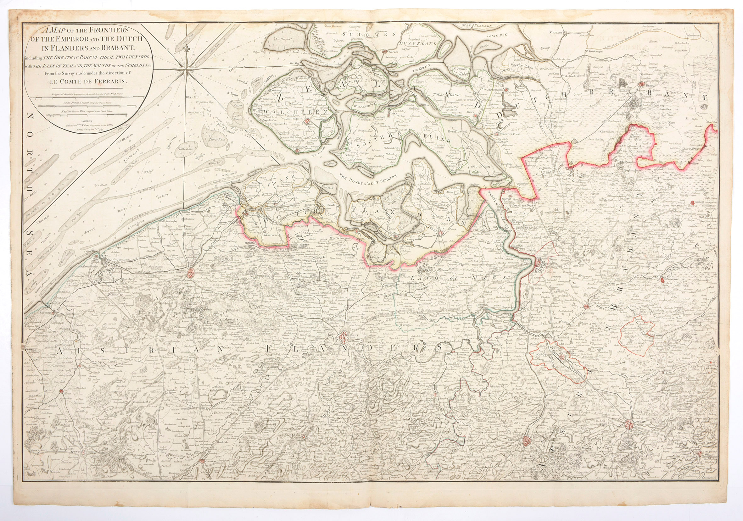
A map of the frontiers of the Emperor and the Dutch in Flanders and Brabant, including the greatest part of these two countries, with the Isles of Zealand, the mouths of the Scheldt from the survey made under the direction of le Comte de Ferraris