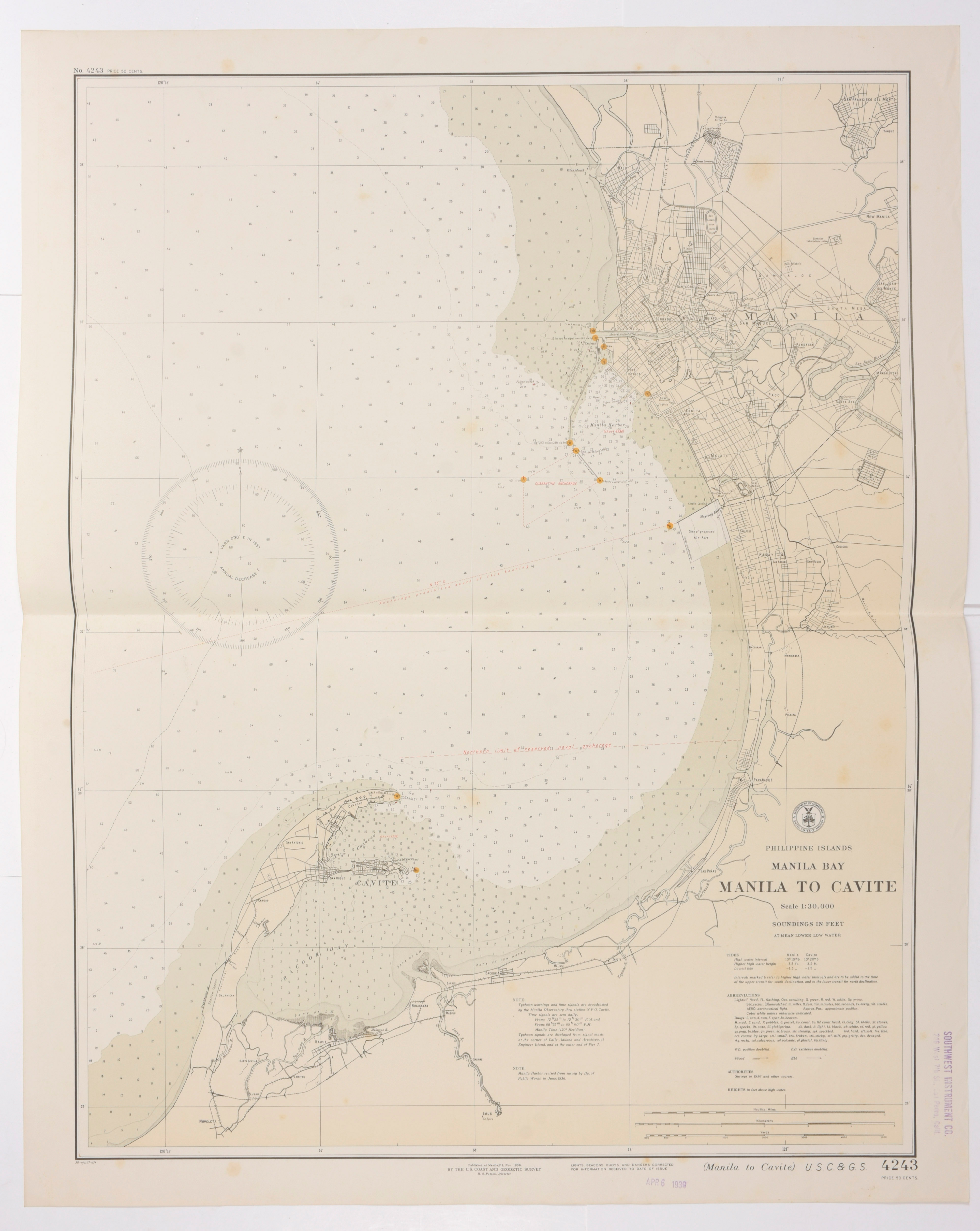
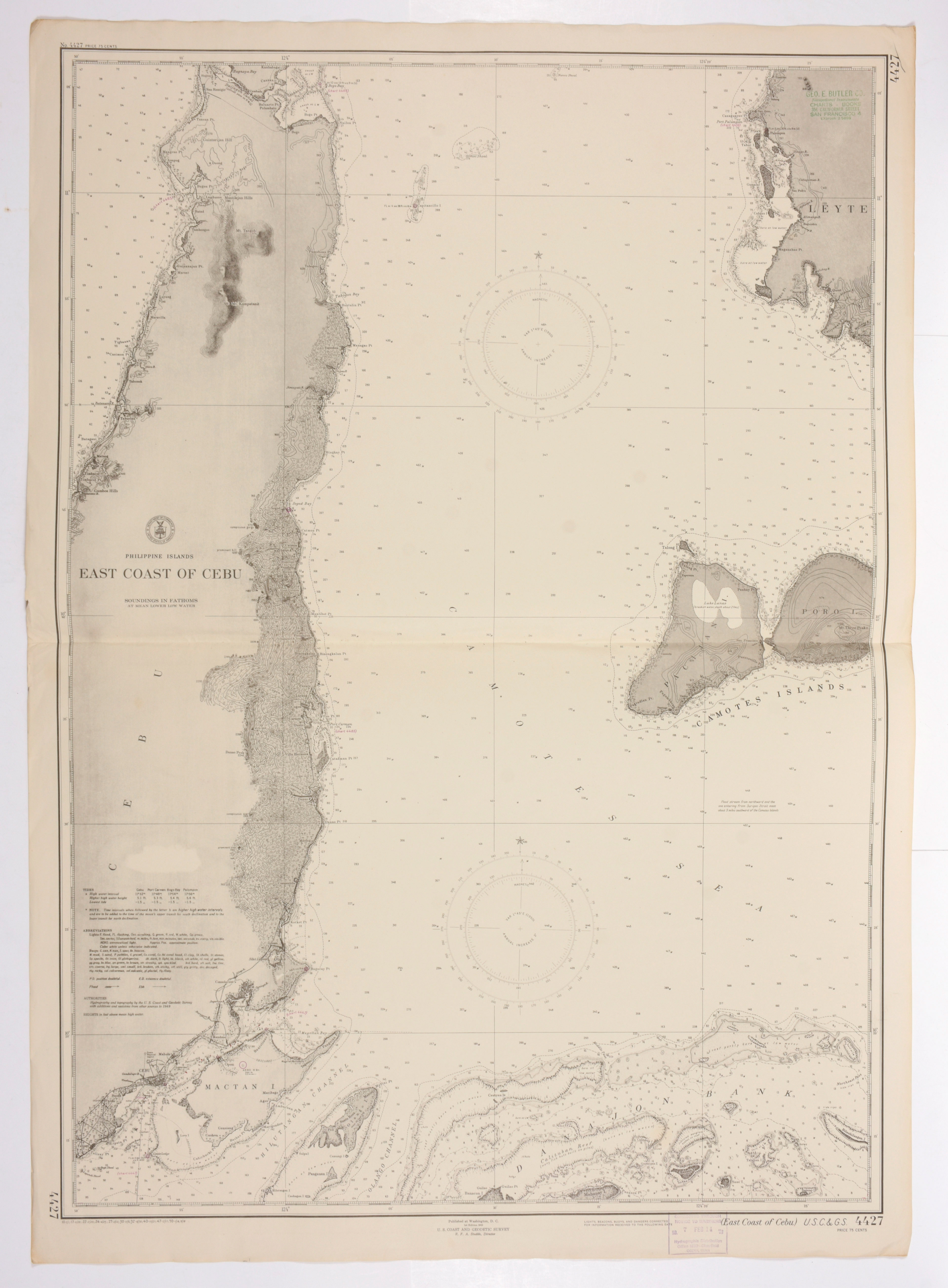
Philippine Islands, Manila Bay, Manila to Cavite. Published at Manila, Nov. 1936 by the U.S. Coast and Geodetic Survey. (map 4243) + Philippine Islands. East Coast of Cebu. Published at Washington DC, Corrected in 1953 (map 4427).
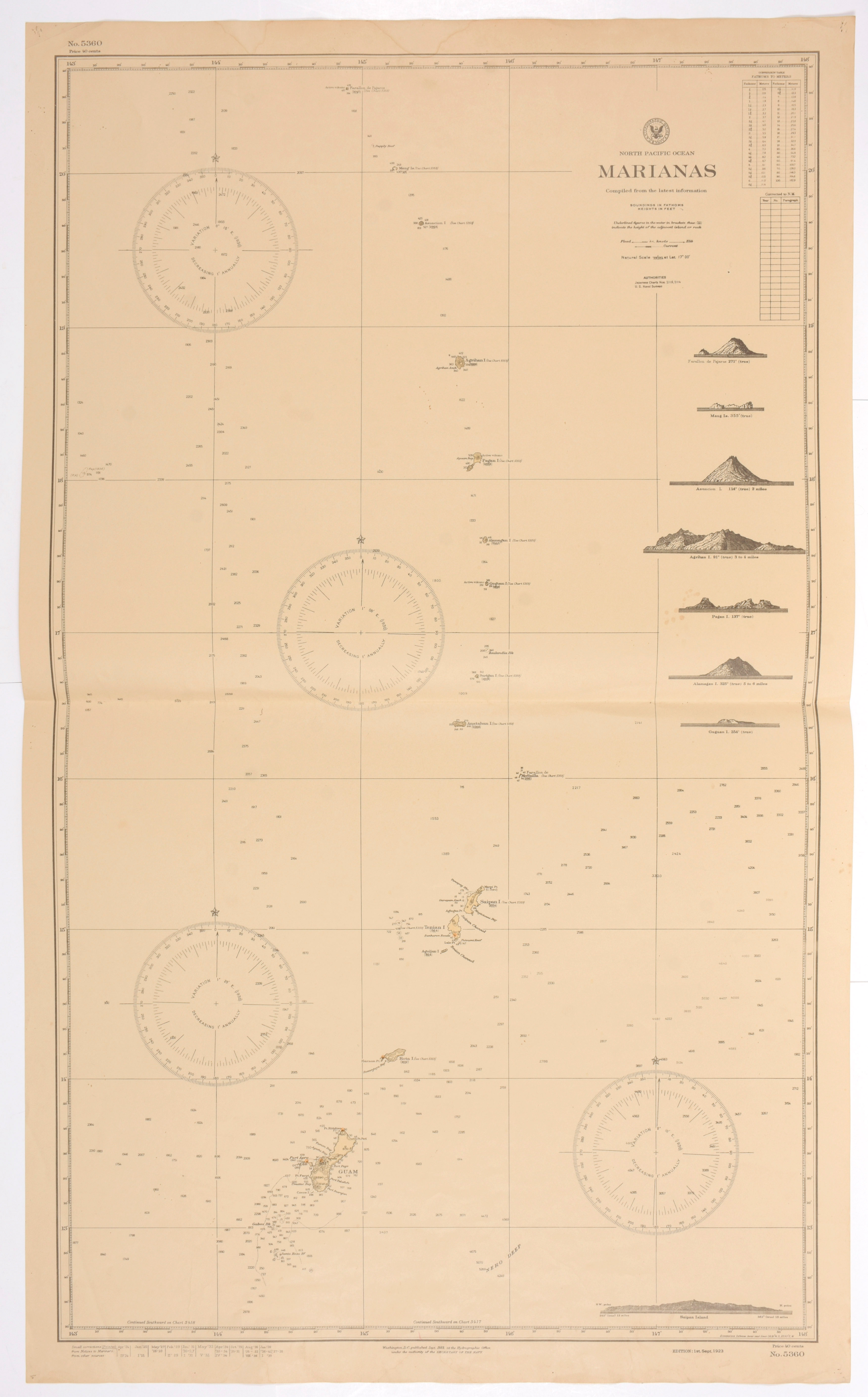
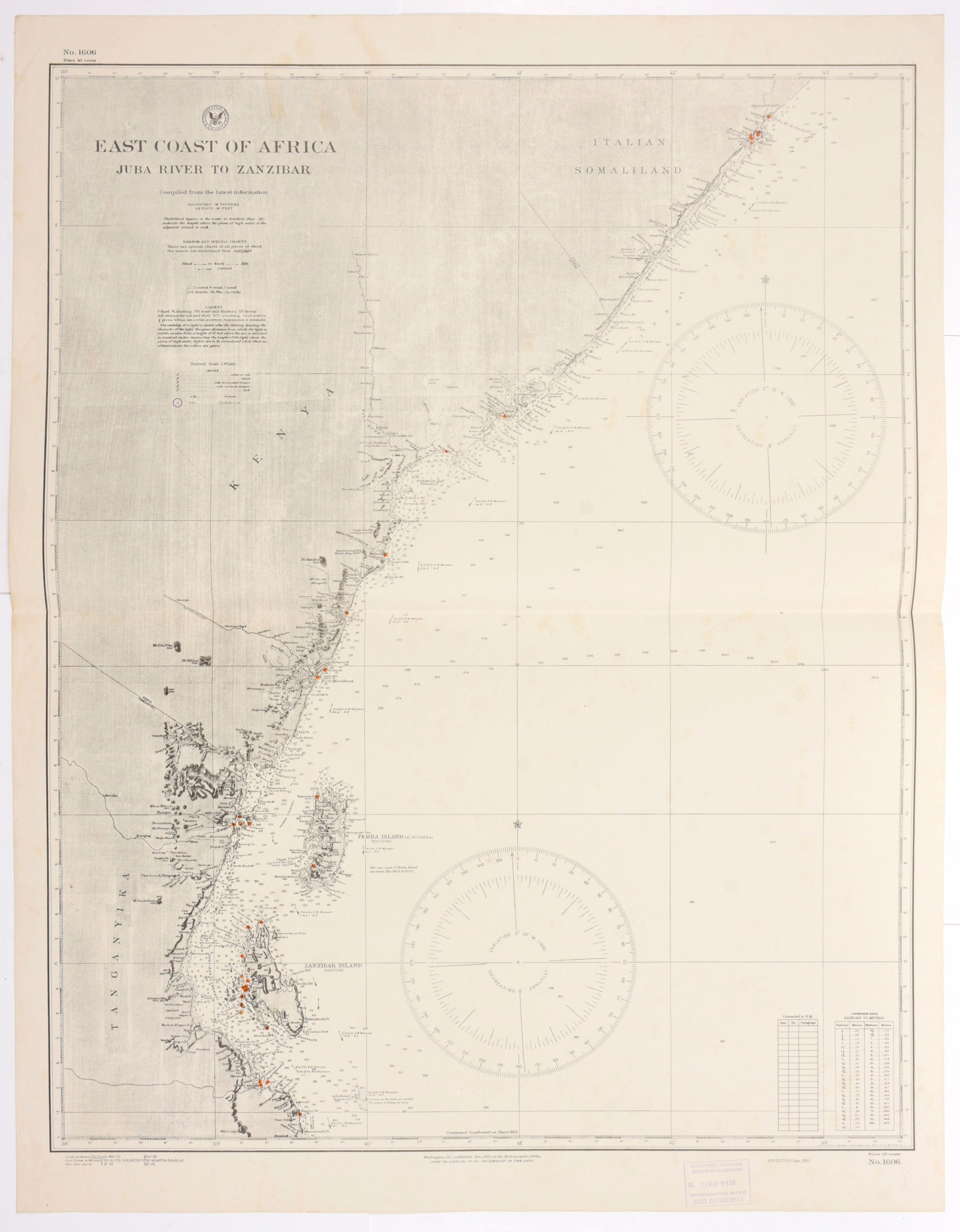
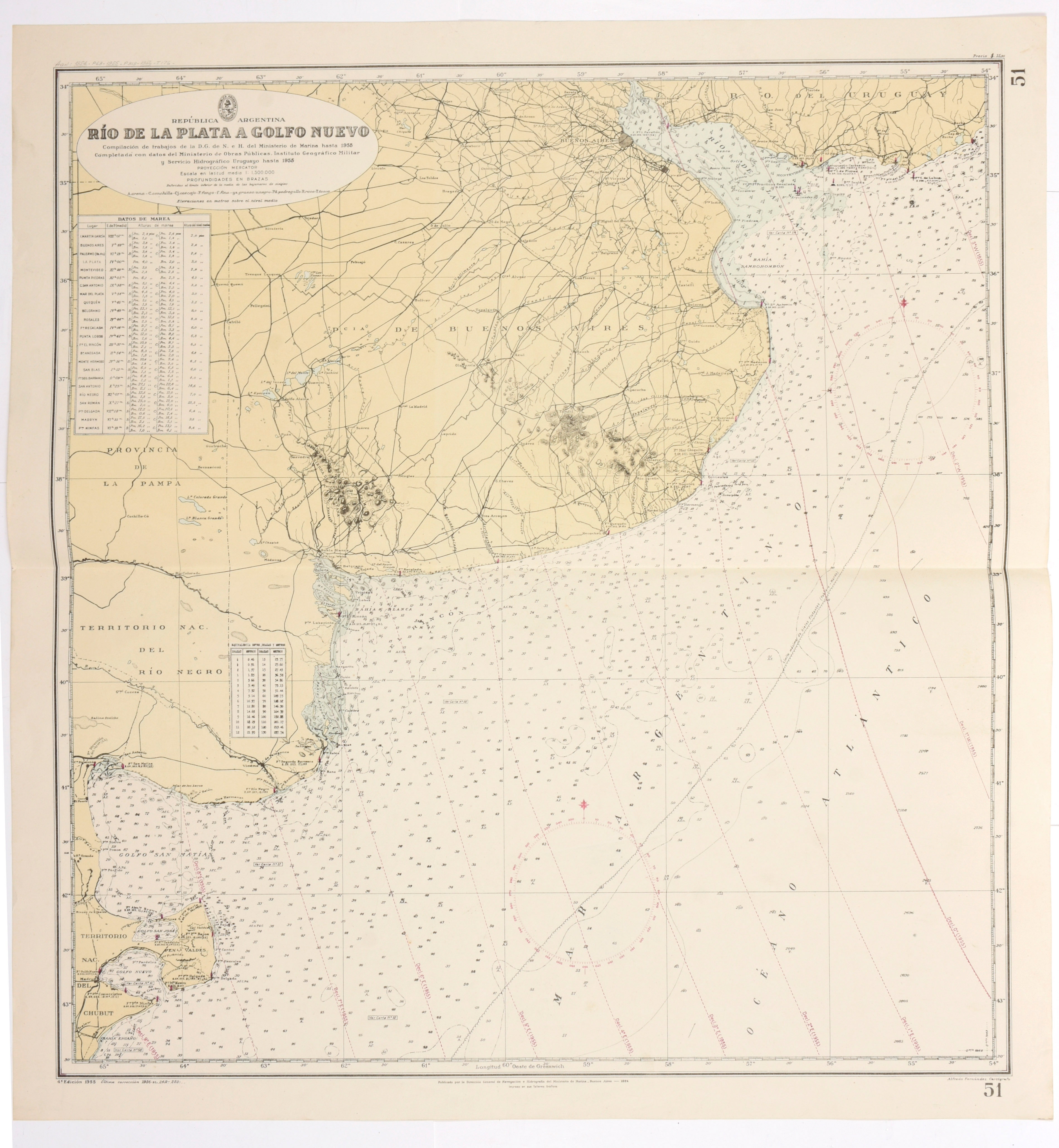
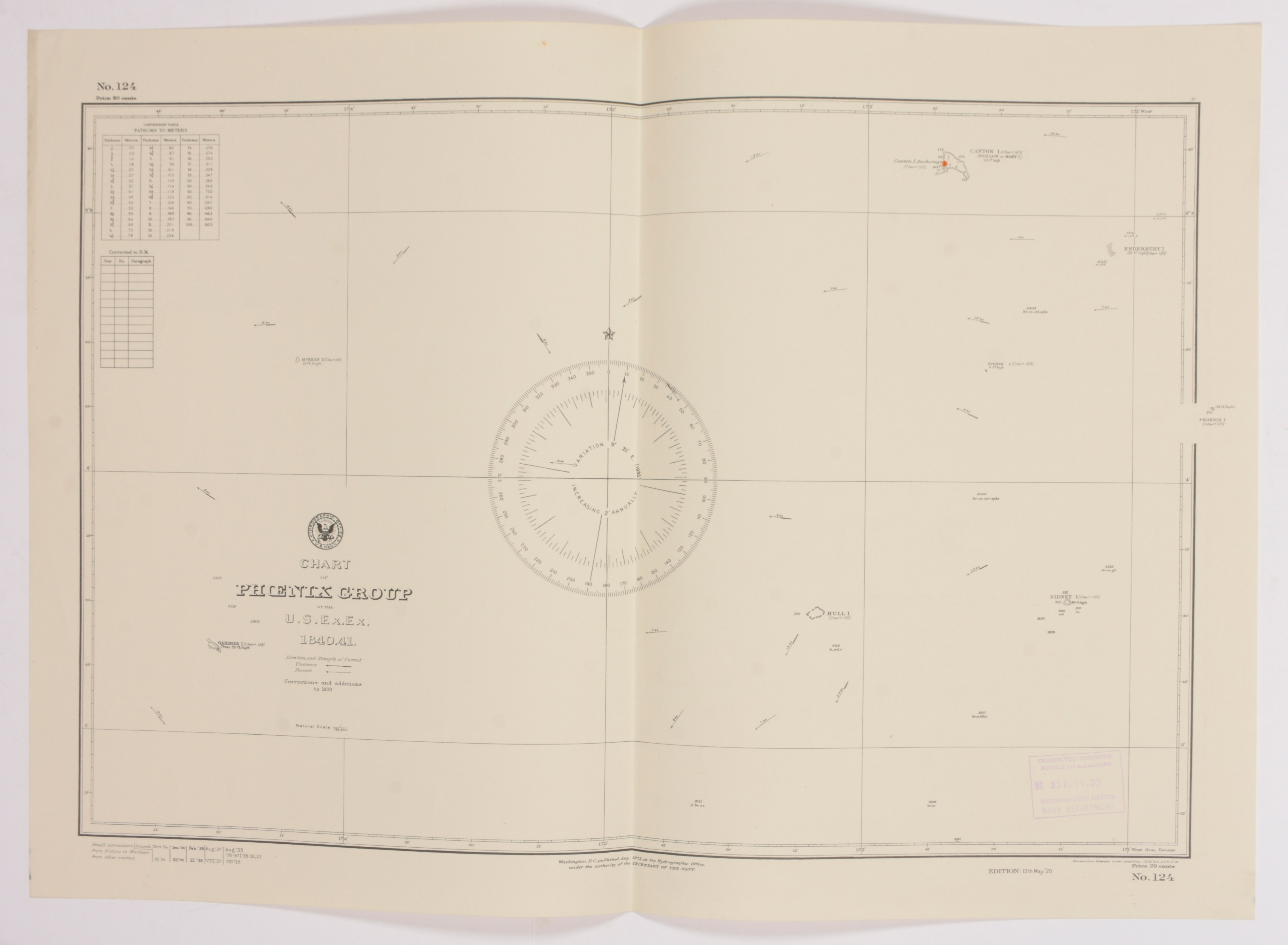
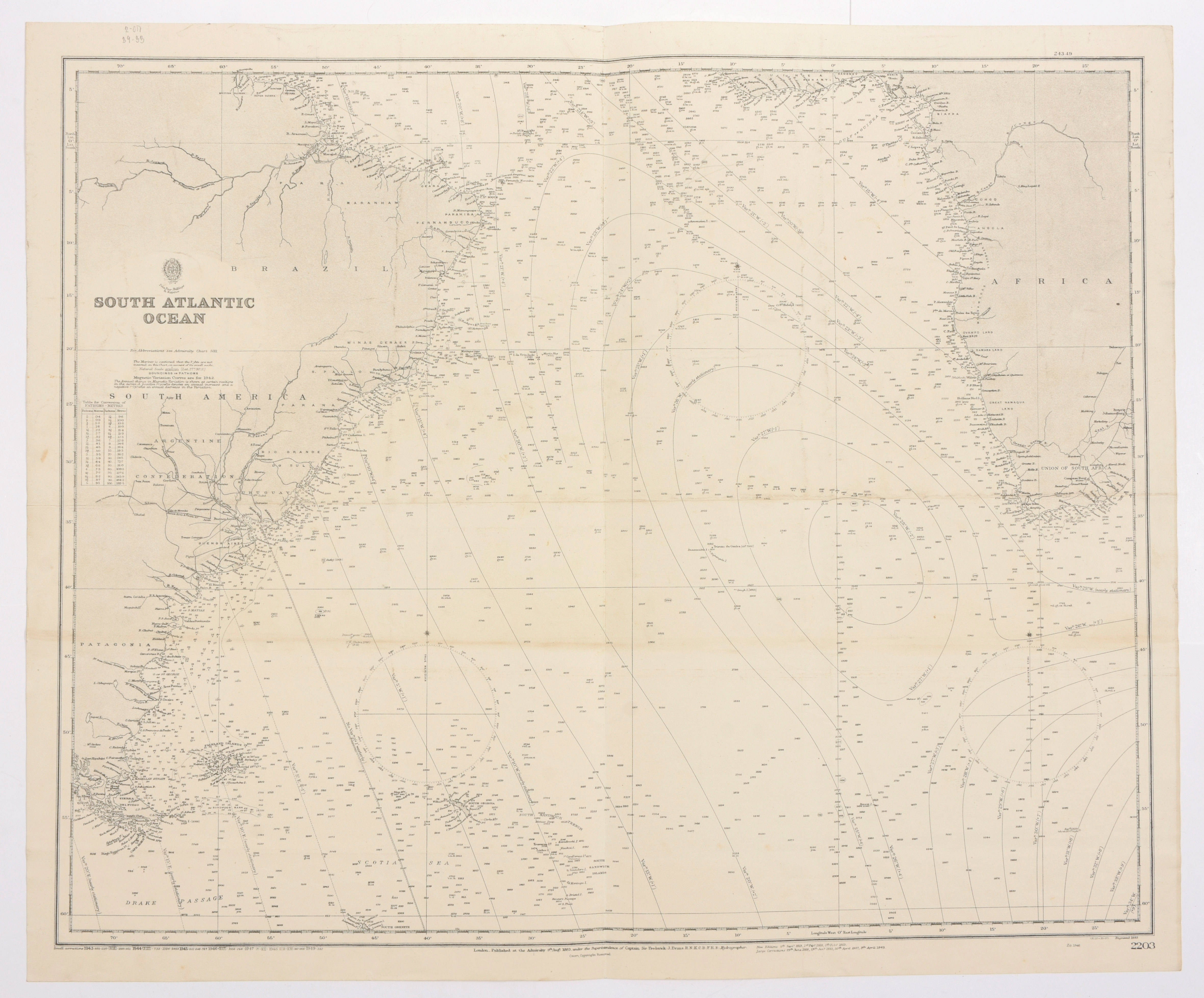
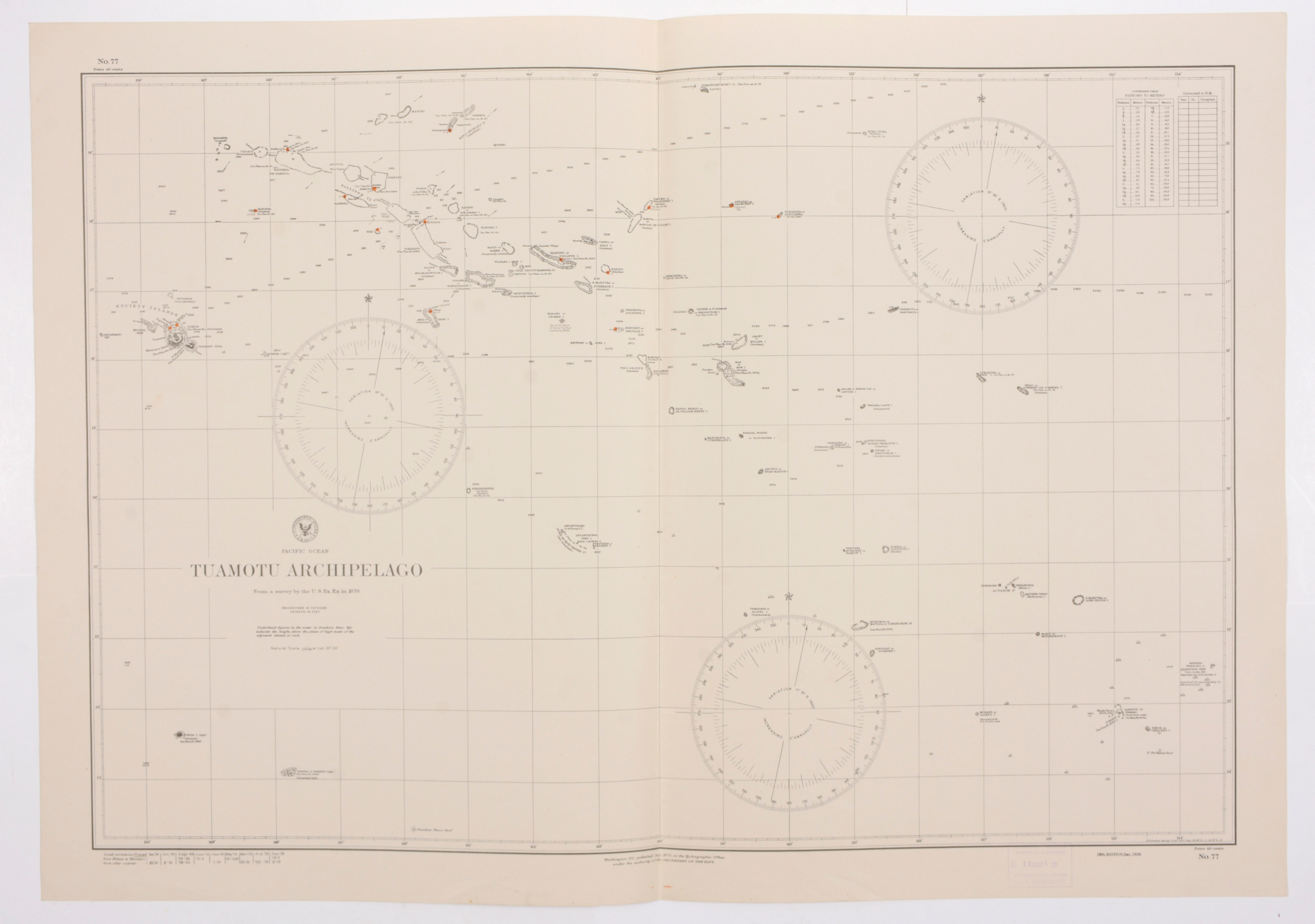
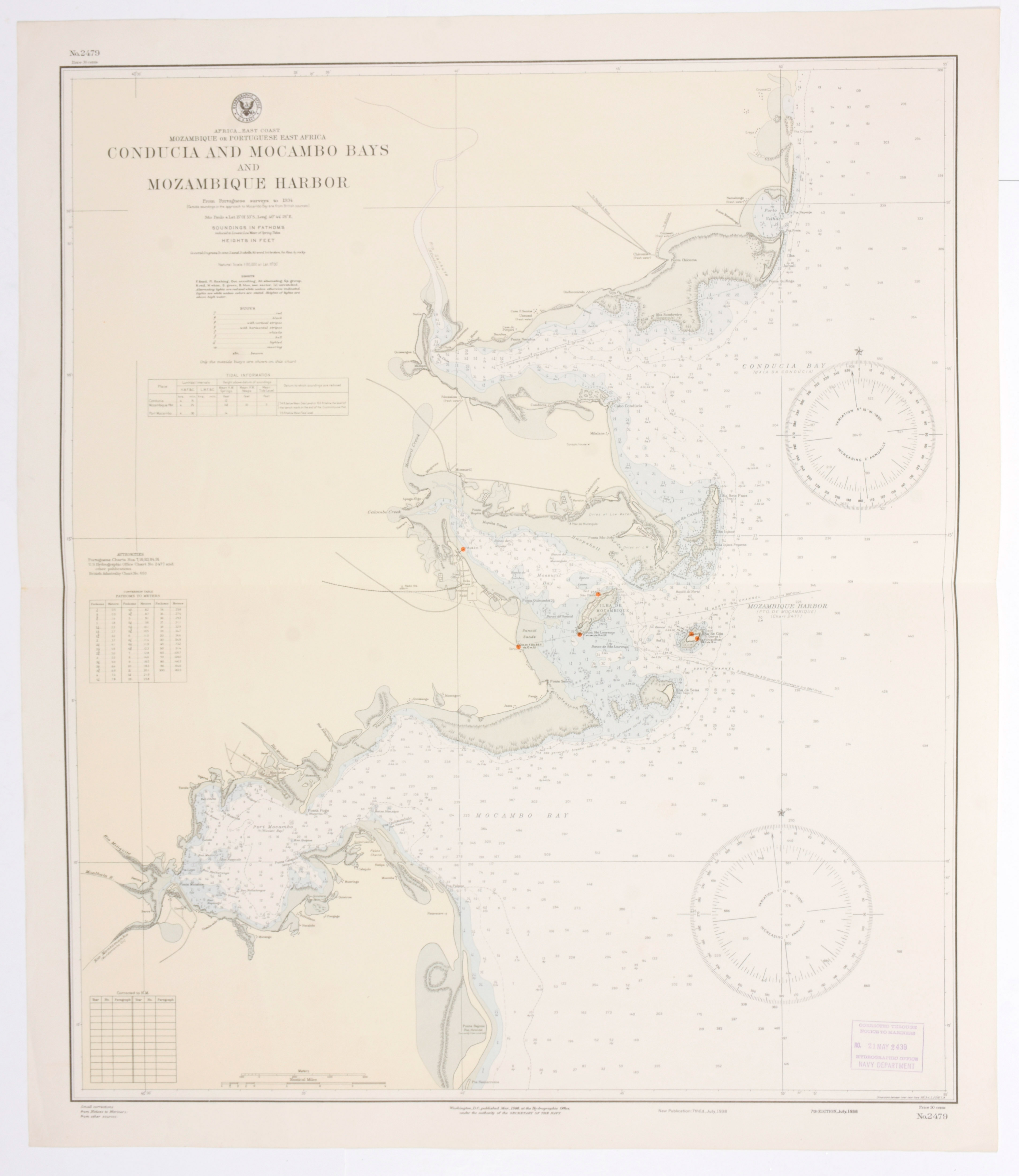
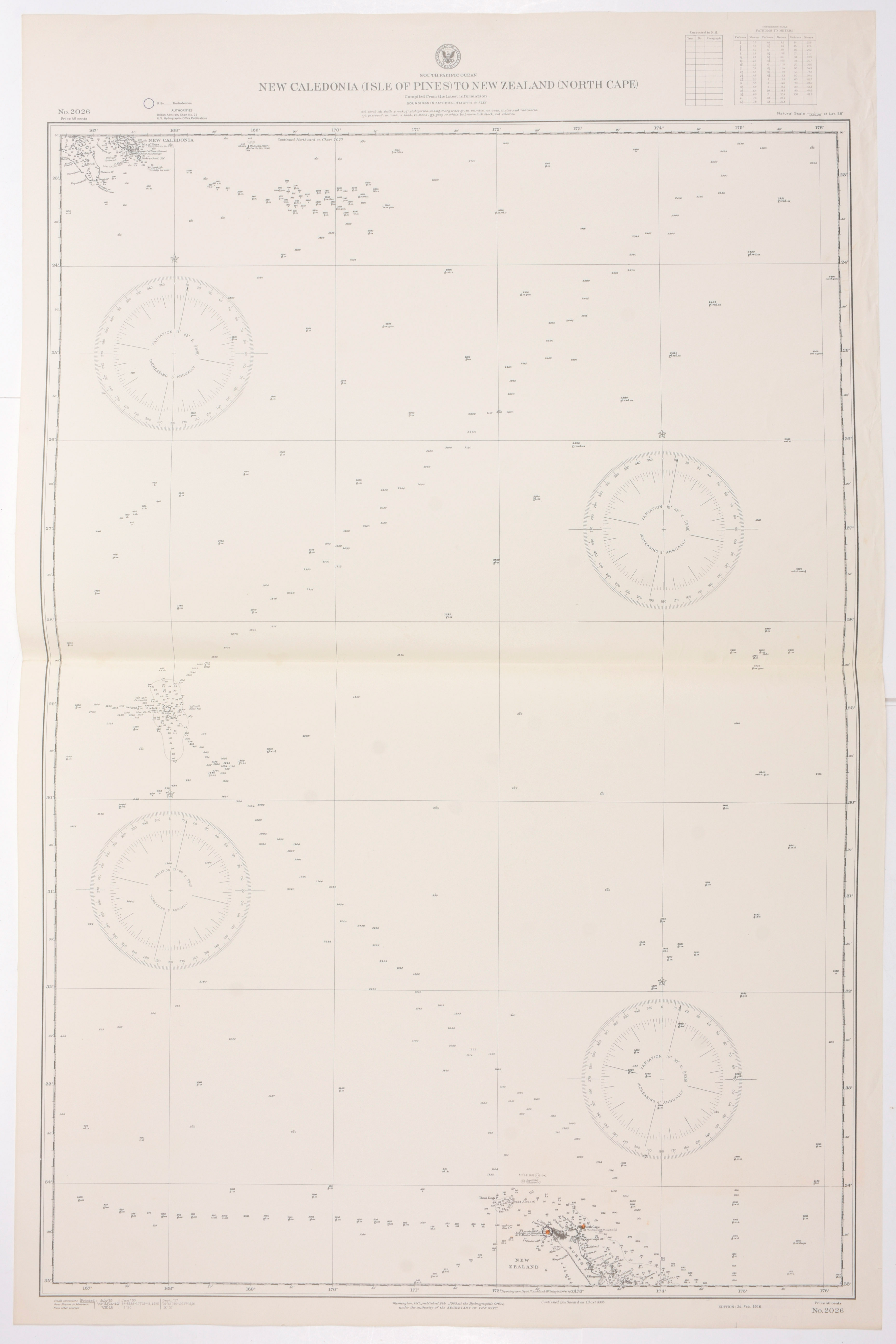
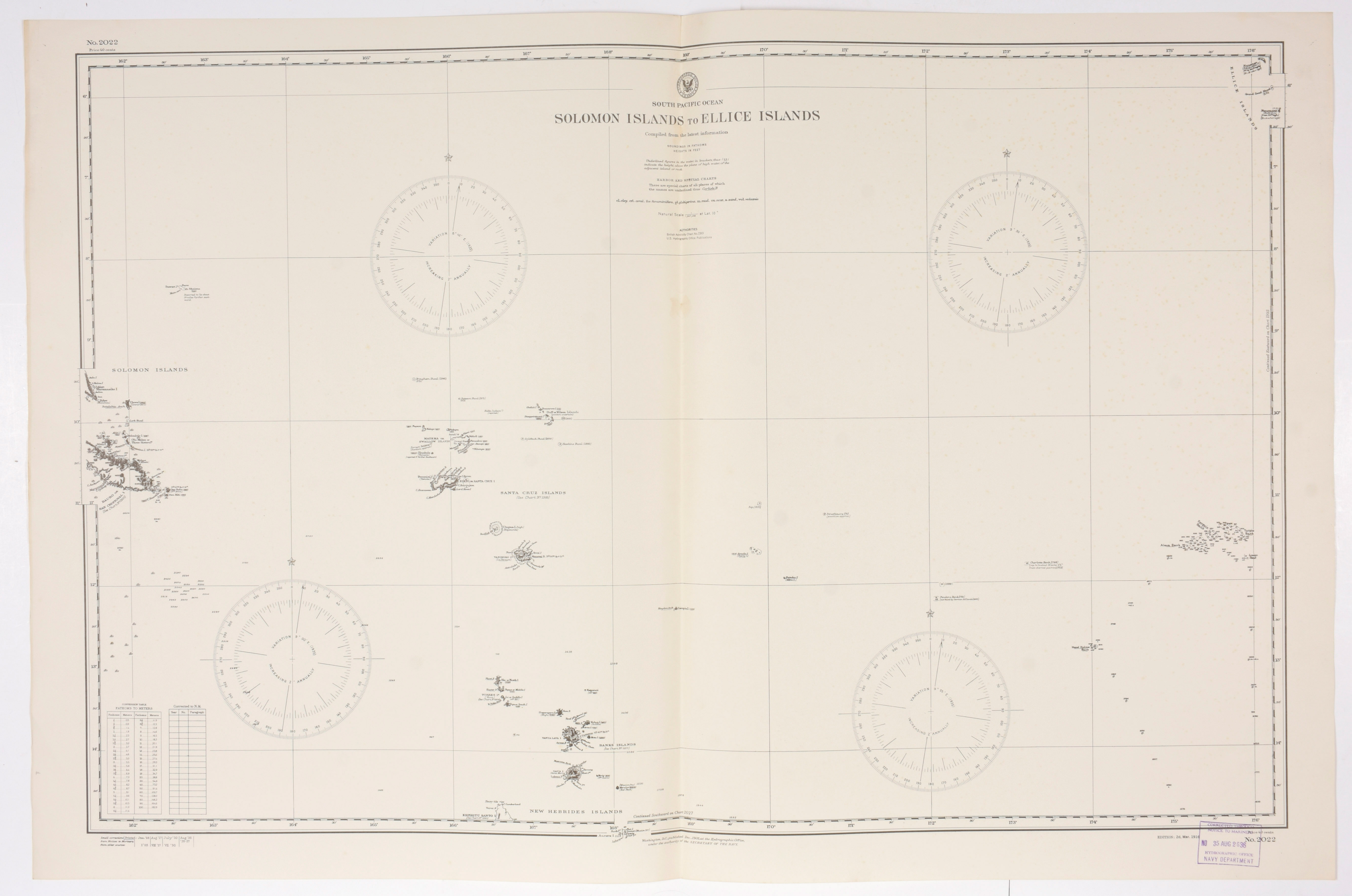
+ North Pacific Ocean. Marianas. Published in Washington Sept. 1923. (map 5360) + East Coast of Africa, Juba River to Zanzibar. Corrected in 1930 (map 1606) + República Argentina Río de la Plata a Golfo Nuevo. Alfredo Fernandez Cartógrafo. Buenos Aires, 1924 (map 51) + Chart of Phoenix Group by the U.S.Ex.Ex.. Washington, 1872. (map 124) + South Atlantic Ocean. London, corrected edition 1949 (map 2203) + Pacific Ocean. Tuamotu Archipelago from a survey by the U.S. Ex.Ex. in 1839. Washington, 1938. (map 77) + Africa East Coast, Mozambique or Portuguese East Africa, Conducia and Mocambo Bays and Mozambique Harbor. Washington, 1938. (map 2479) + South Pacific Ocean. New Caledonia (Isle of Pines) to New Zealand (North Cape). Washington, 1937. (map 2026) + South Pacific Ocean. Solomon Islands to Ellice Islands. Washington, 1935. (map 2022) Together: 11 nautical maps