BELANGRIJK: Accepteer cookies om te kunnen bieden!
Onze website heeft cookies nodig om het biedformulier te laten werken. Zonder cookies blijft je winkelmand leeg en kun je geen bod plaatsen. Klik op 'Accepteren' om te kunnen bieden en de website optimaal te lalten functioneren. Hiervoor vragen we je om akkoord te gaan met ons gebruik van cookies.

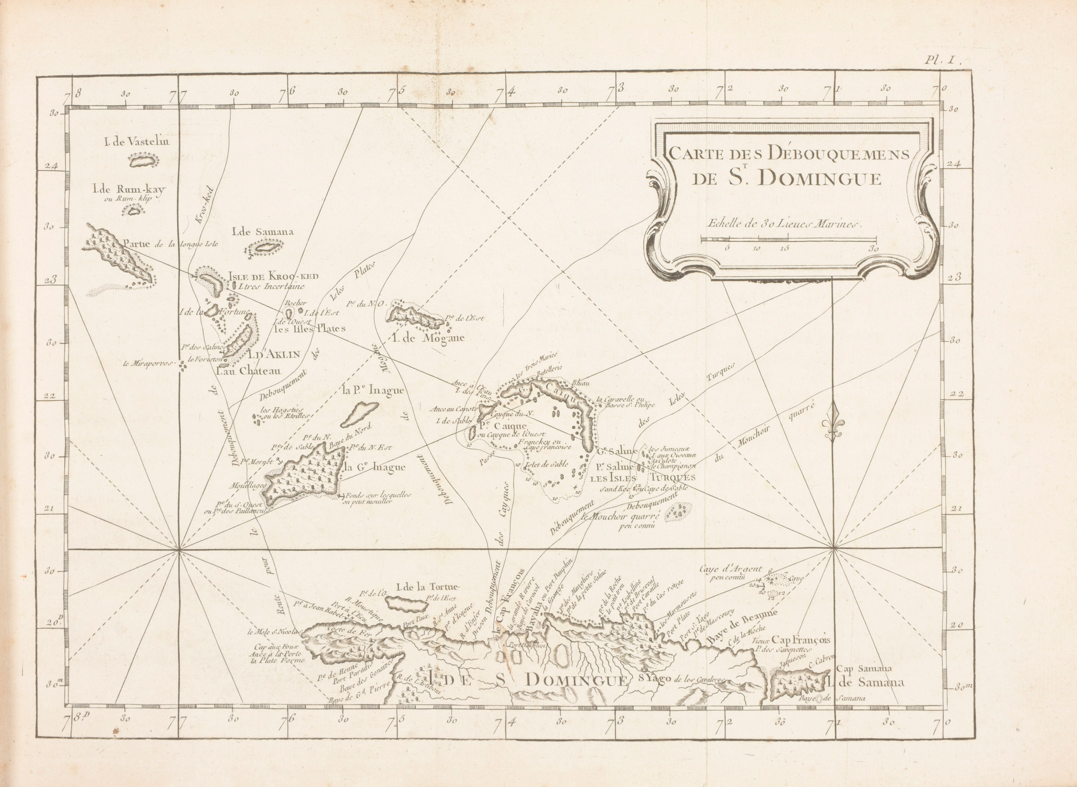
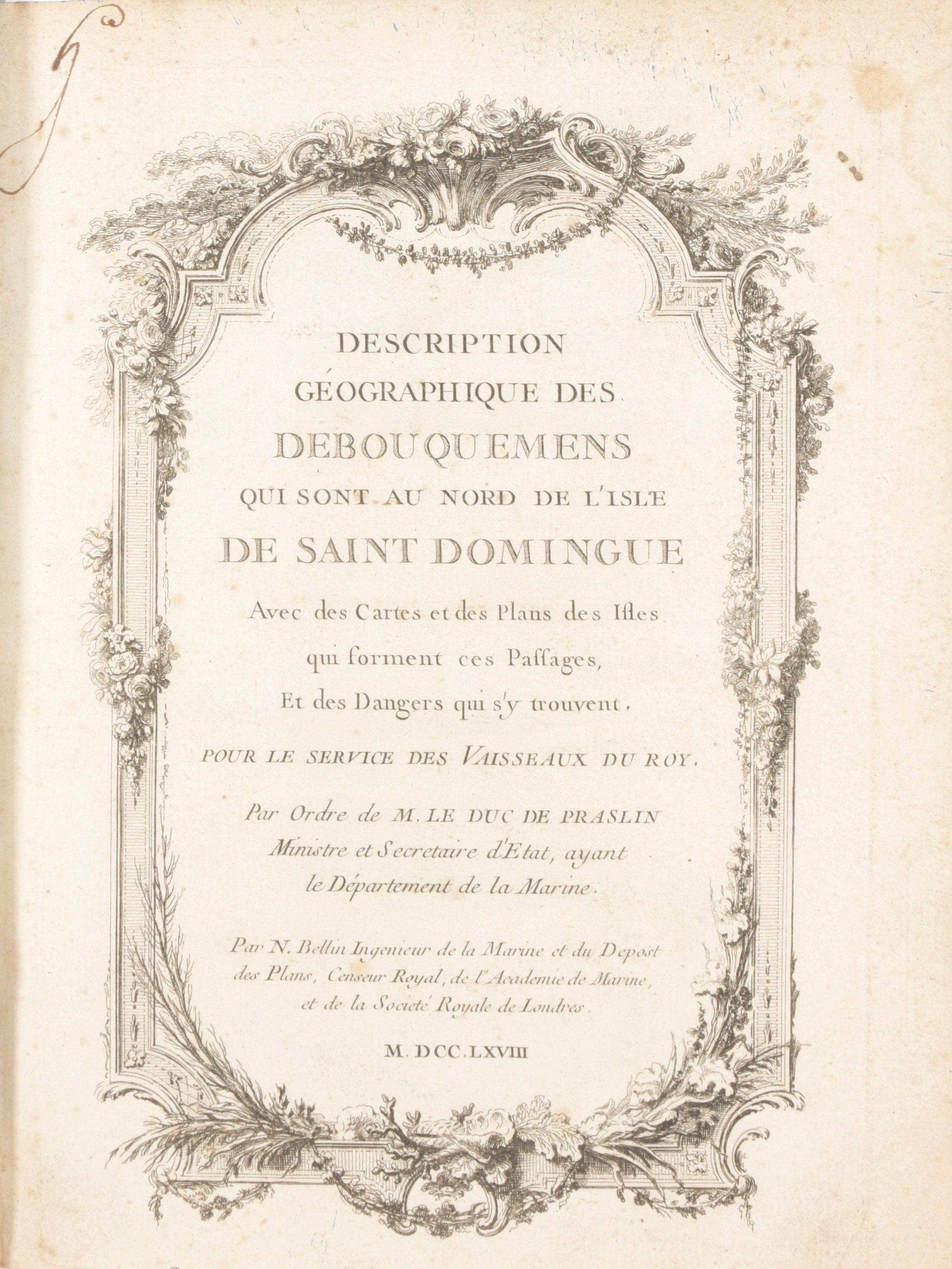
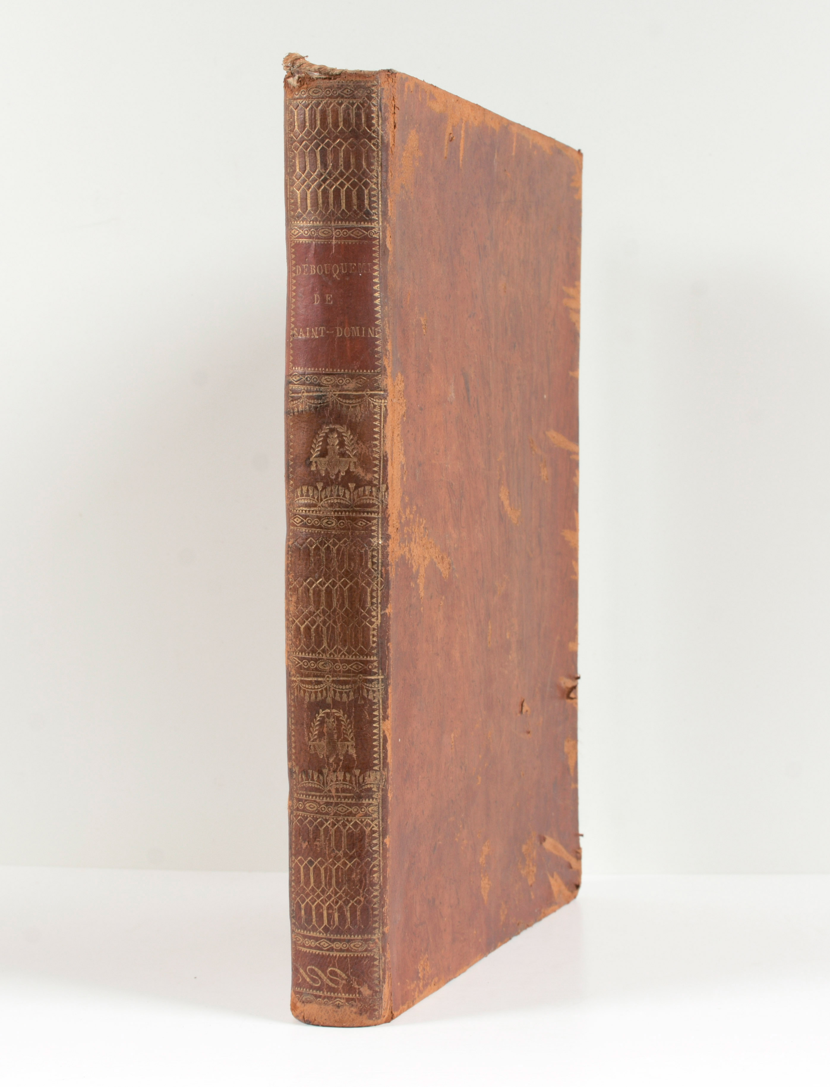
Description géographique des Debouquemens qui sont au nord de l'Isle de Saint Domingue avec des Cartes et des Plans des Isles qui forment ces Passages, et des Dangers qui s'y trouvent. Pour le Service des Vaisseaux du Roy
Versailles
Imprimerie du Département de la Marine
1768 (1773)
Imprimerie du Département de la Marine
1768 (1773)