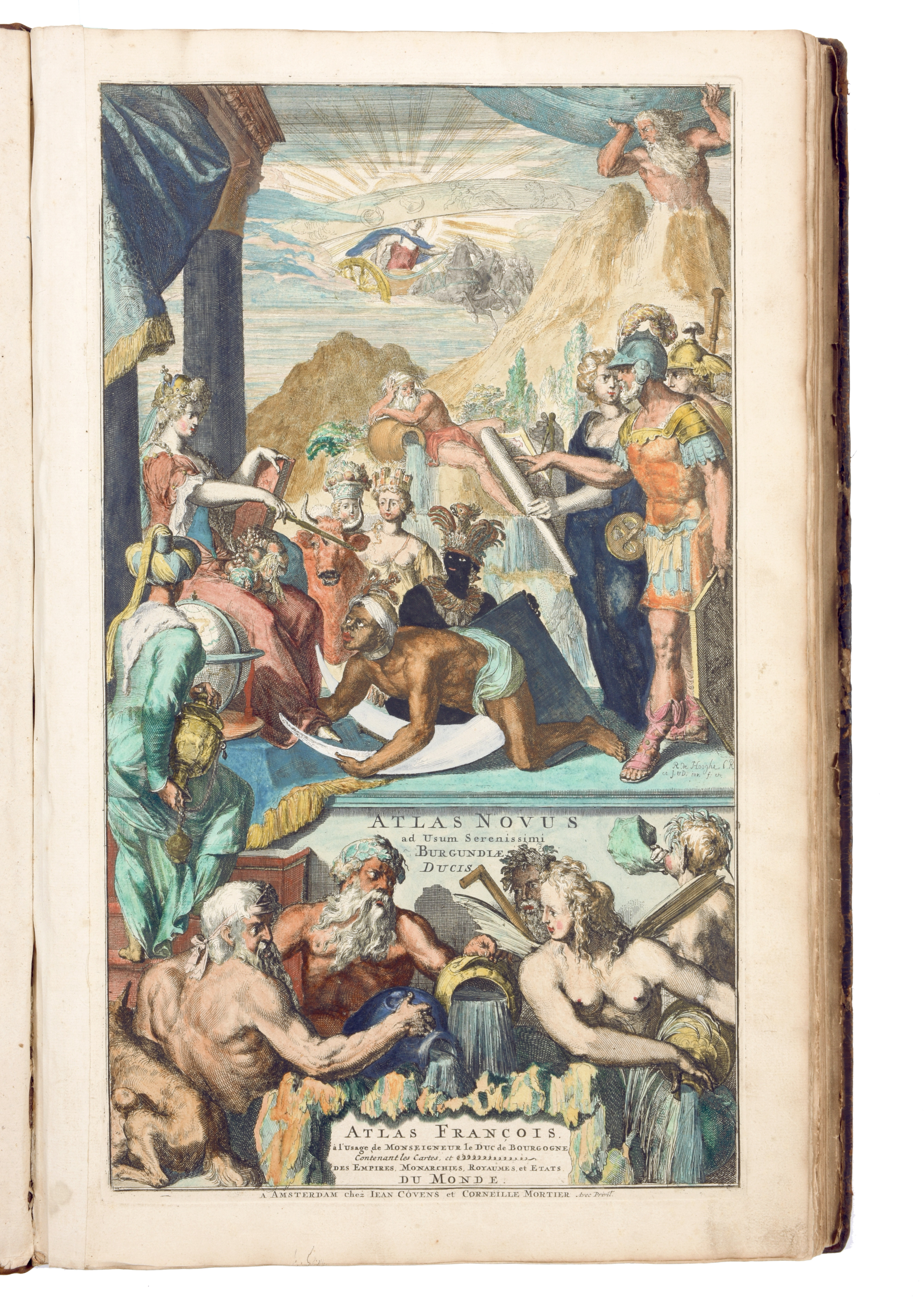
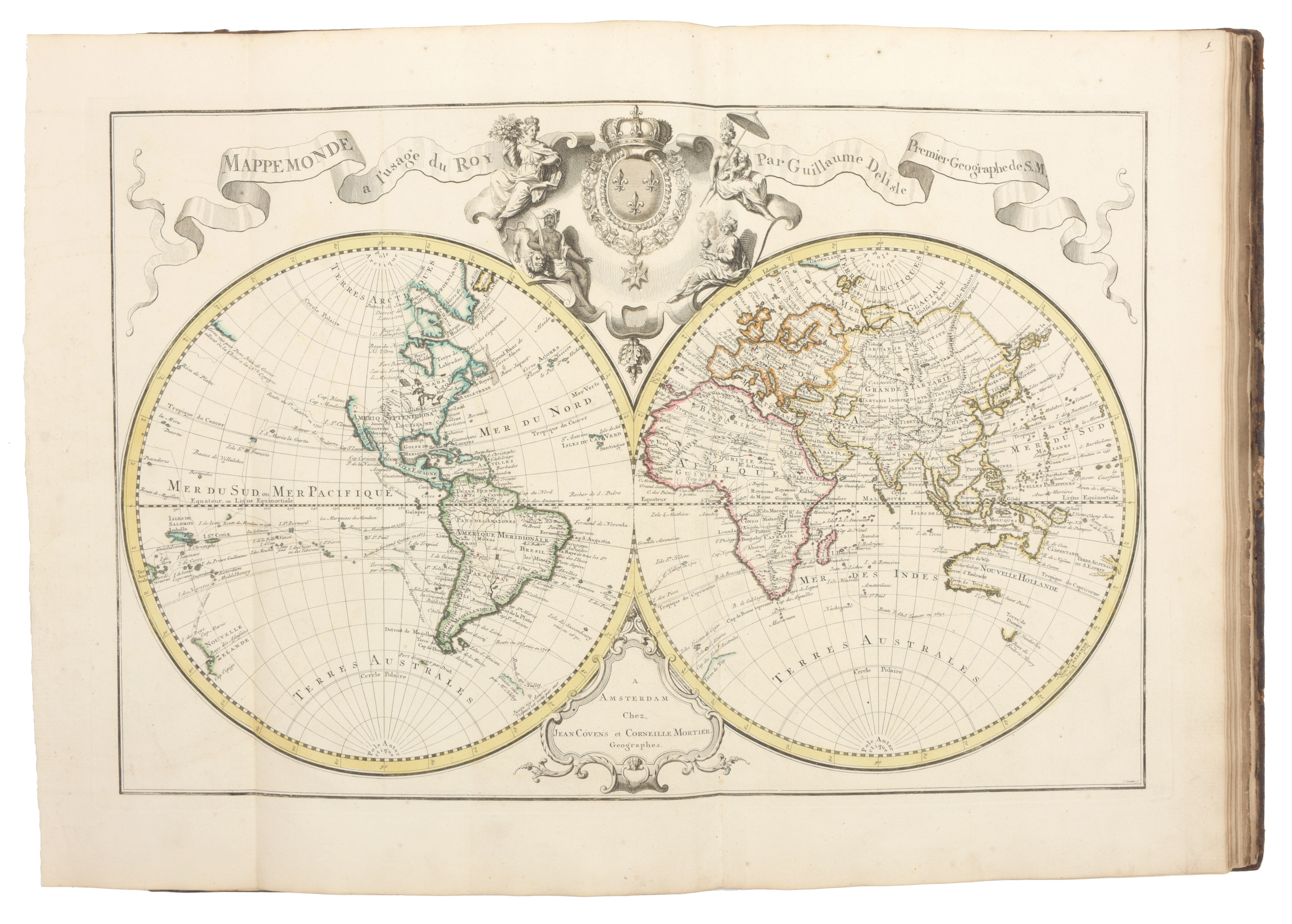
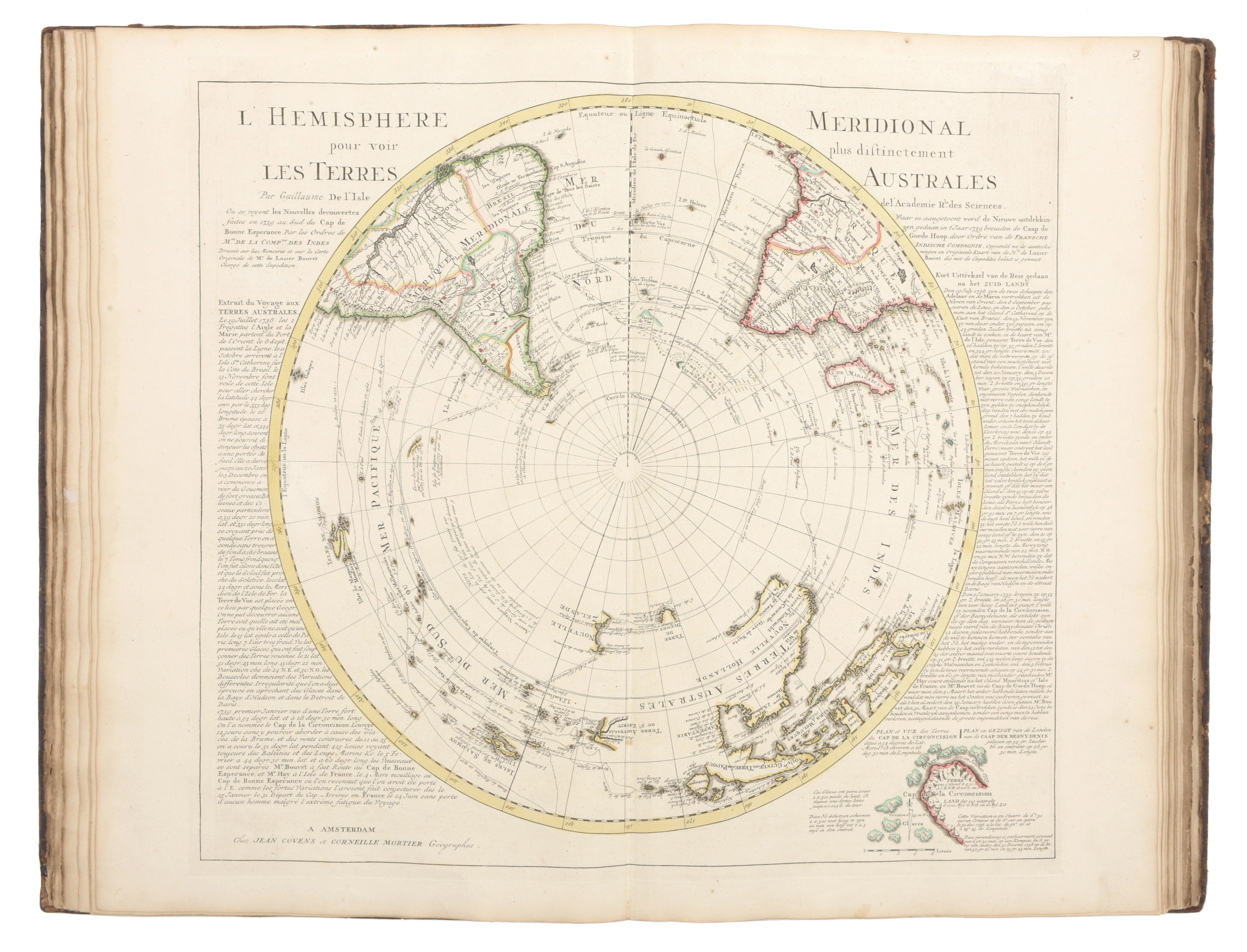
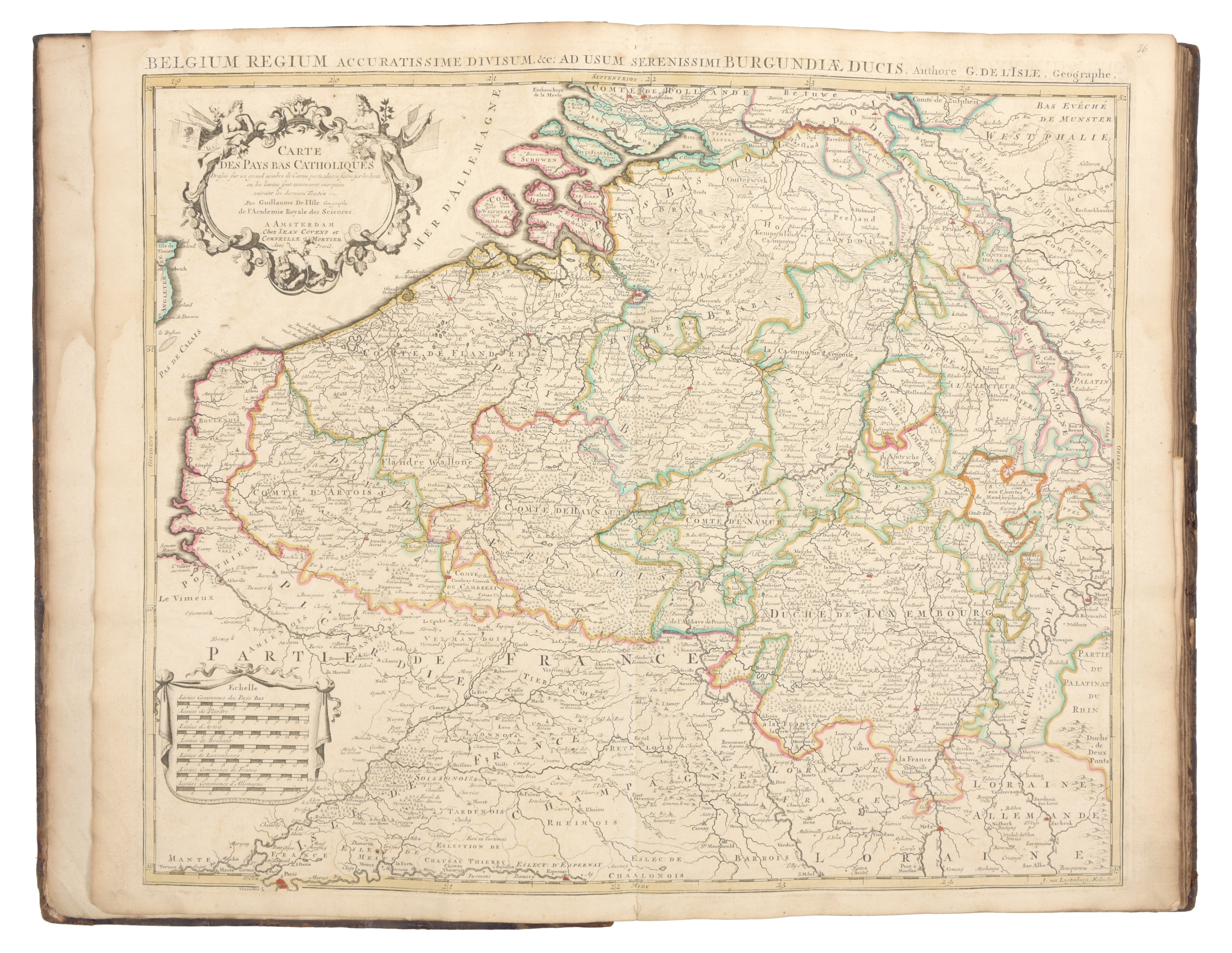
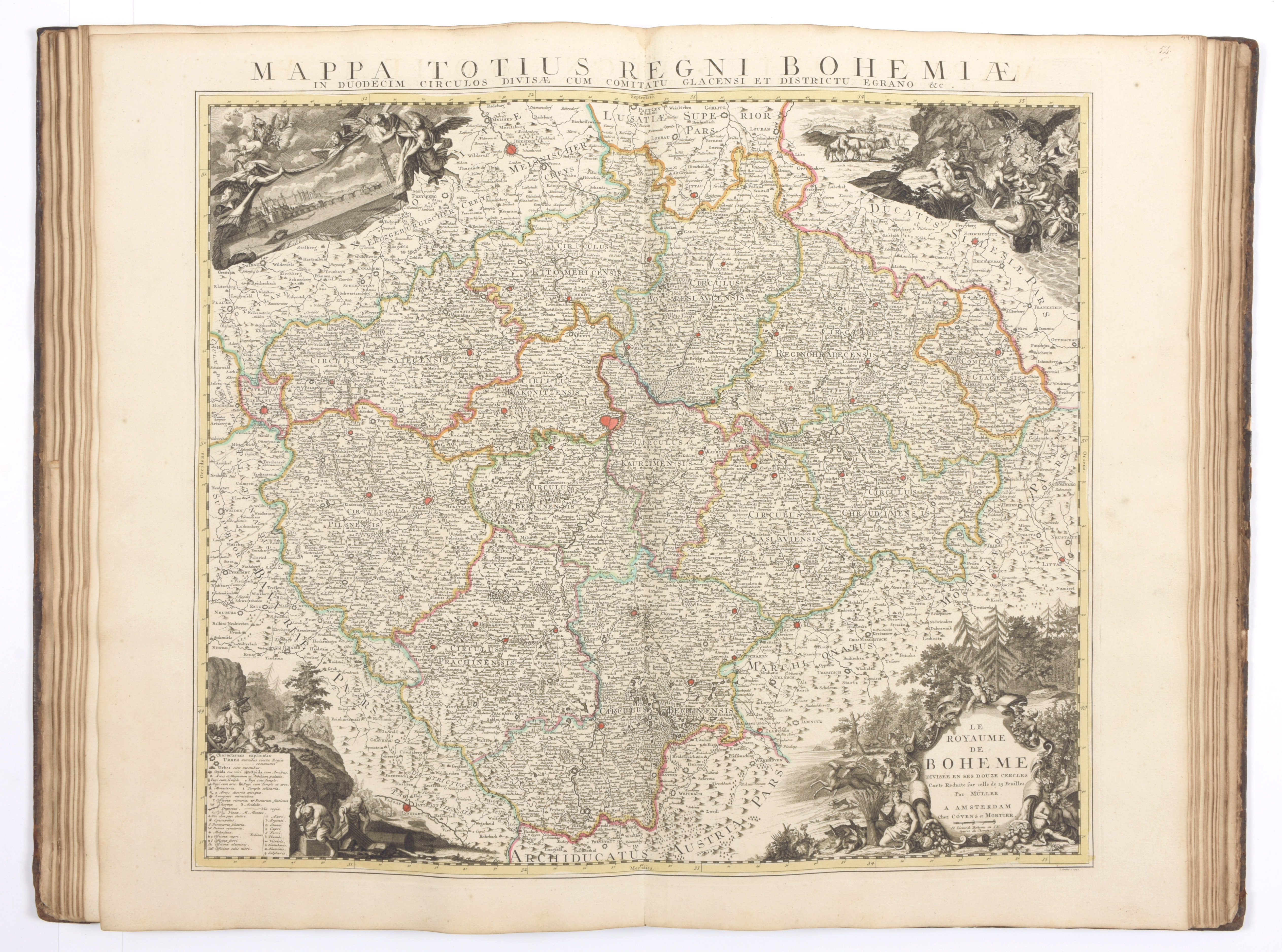
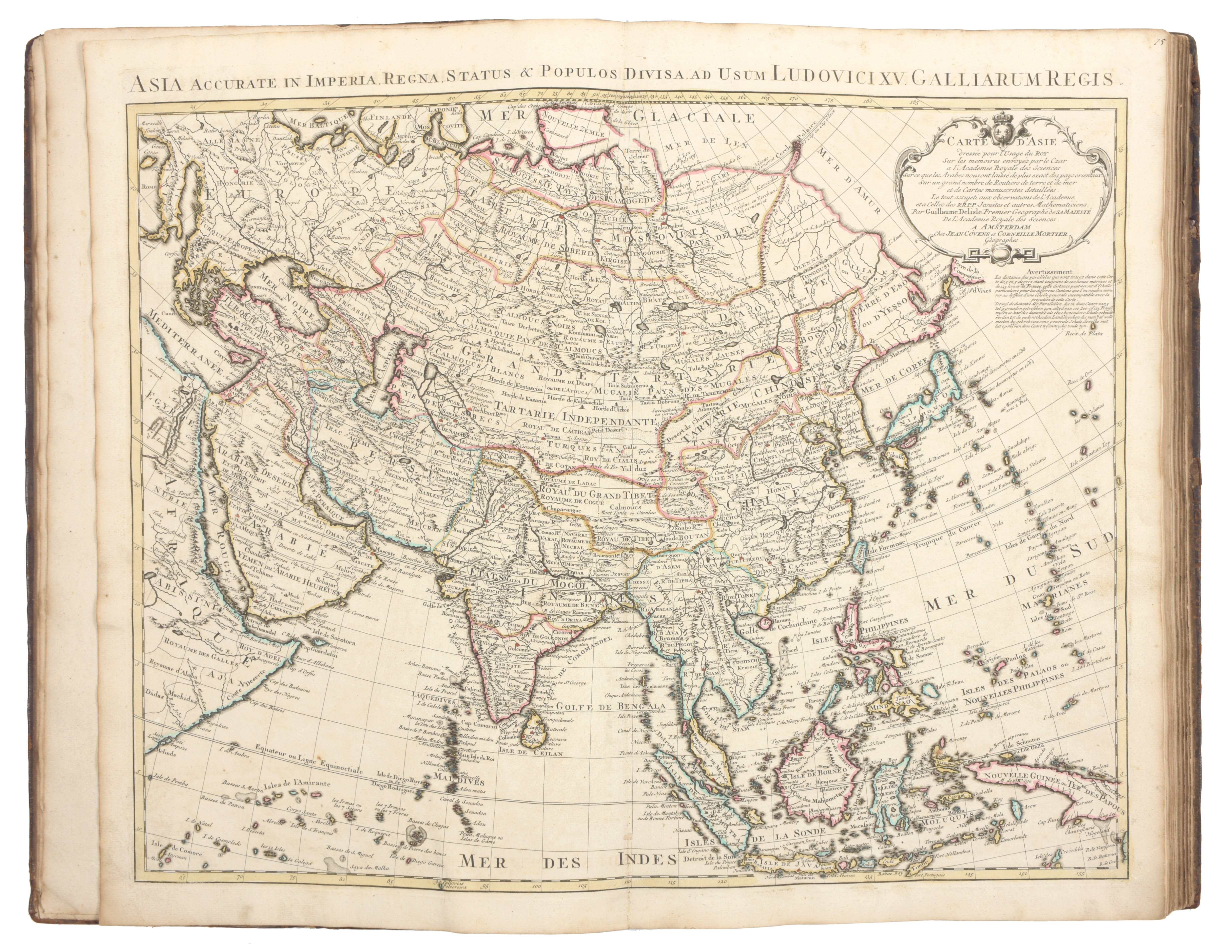
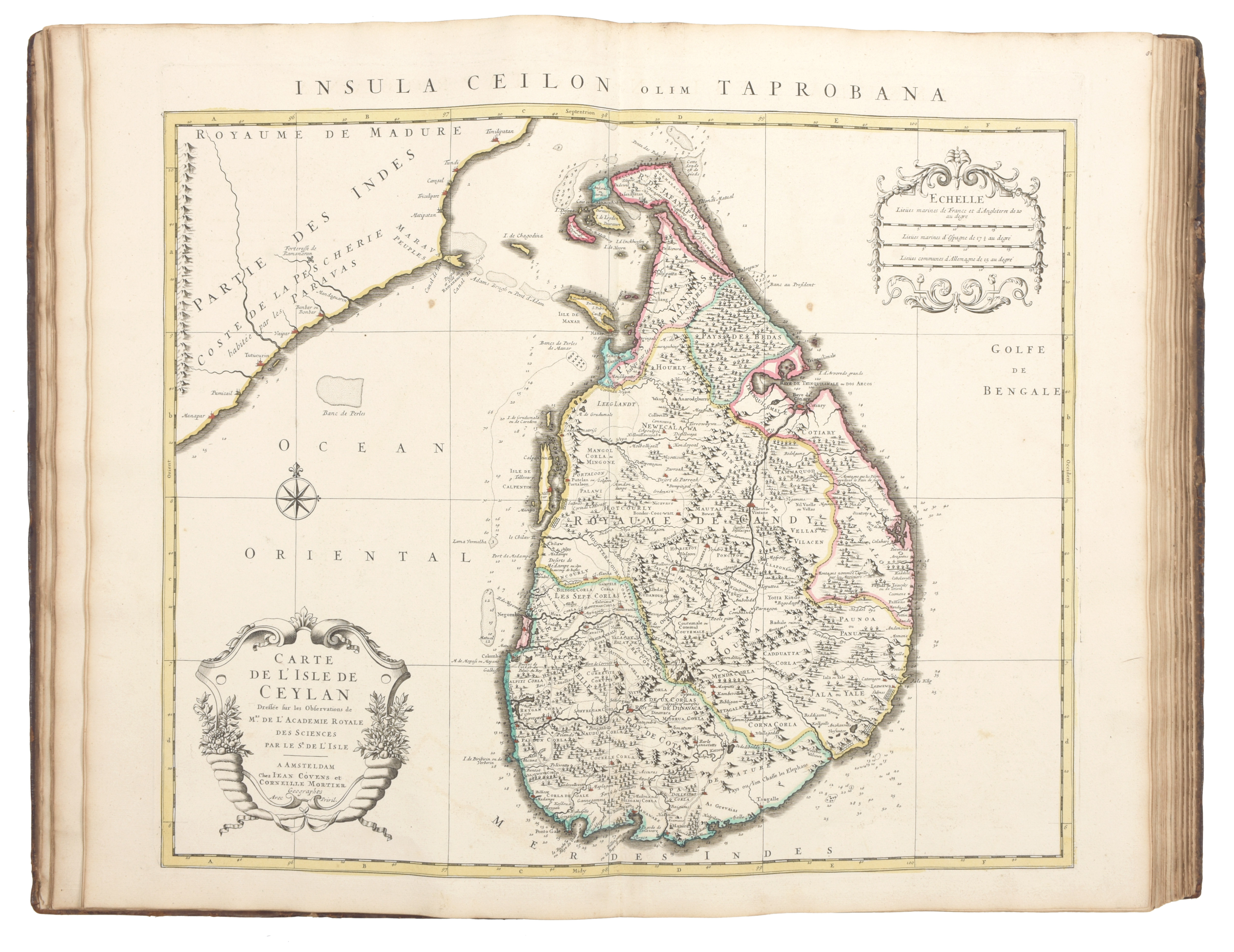
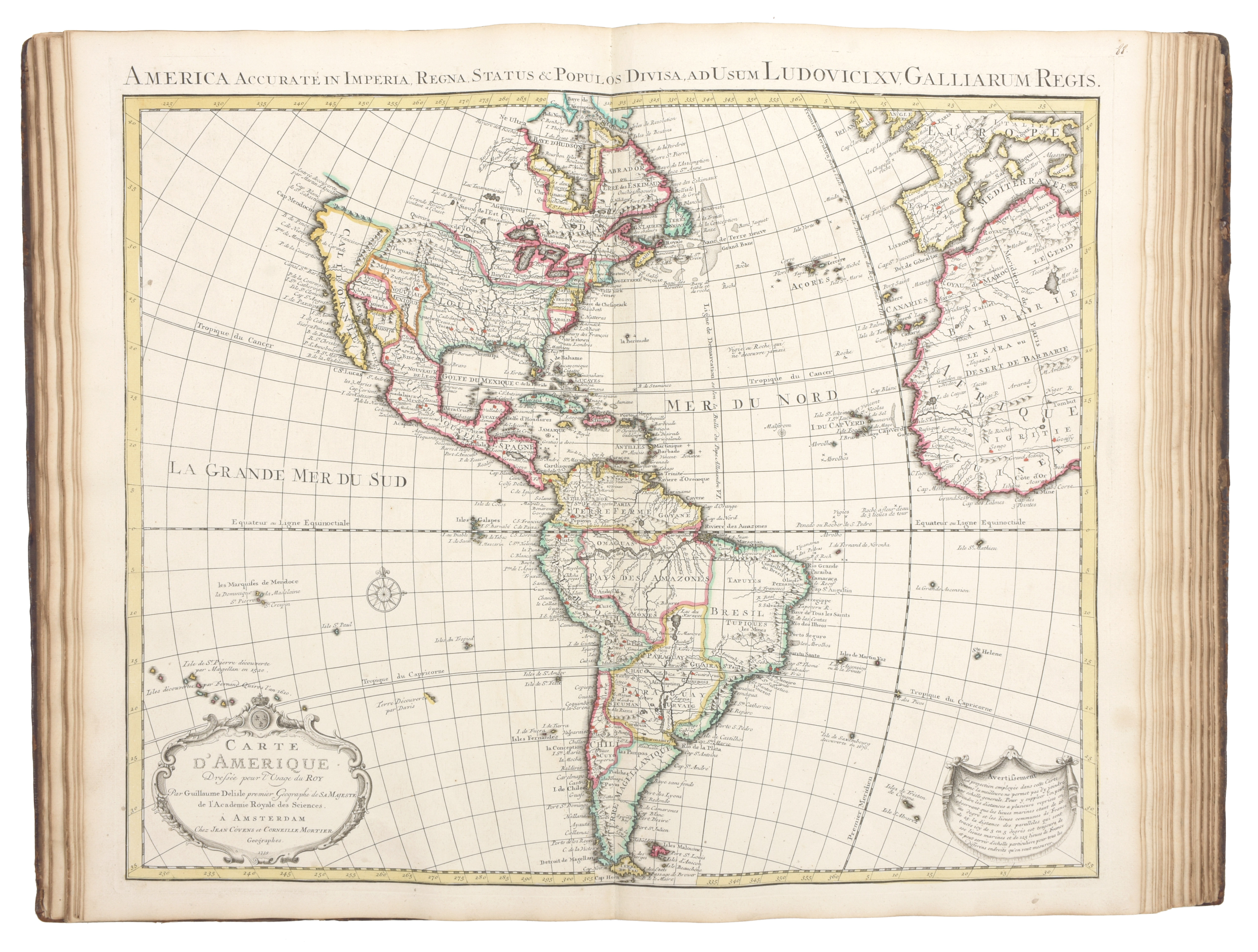
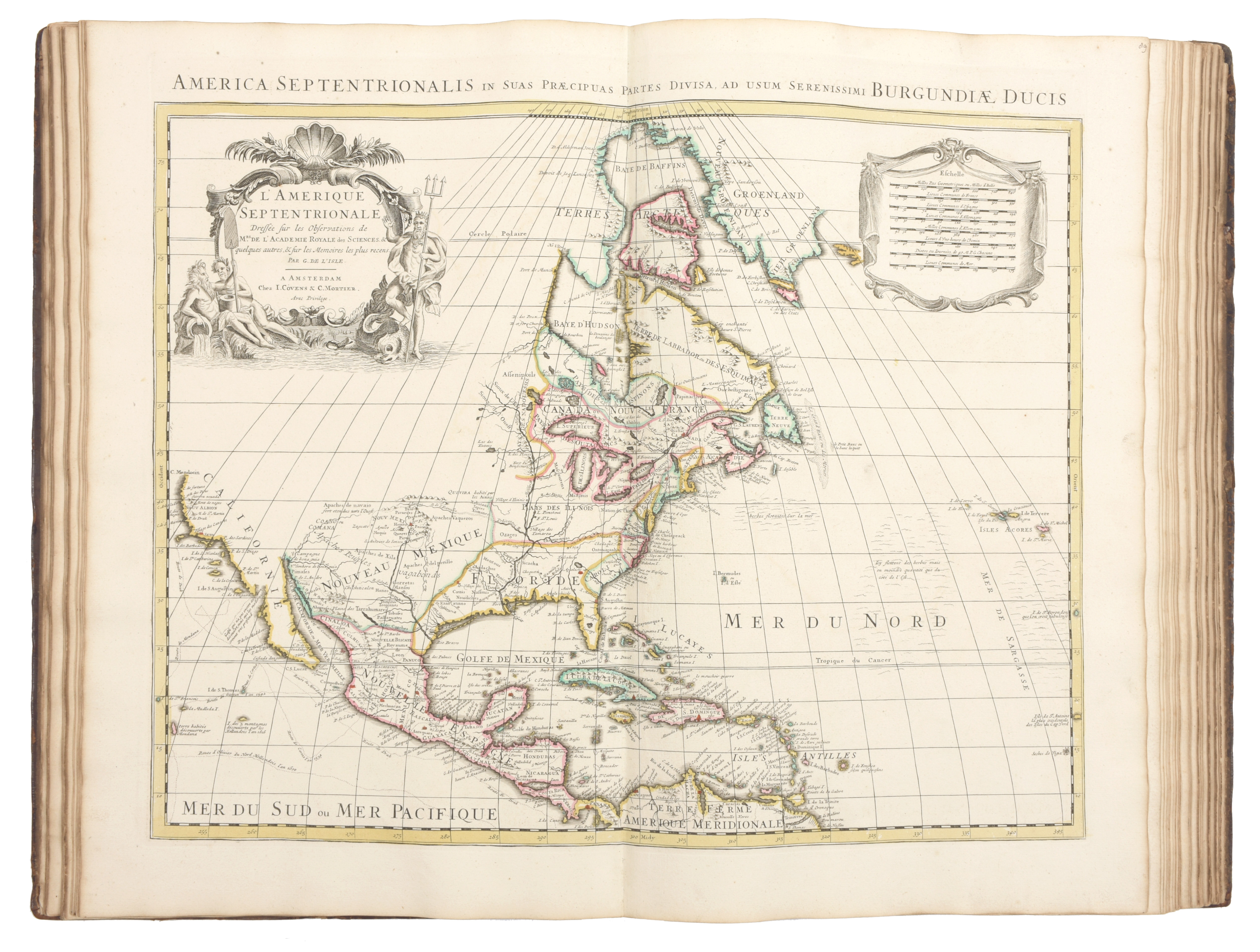
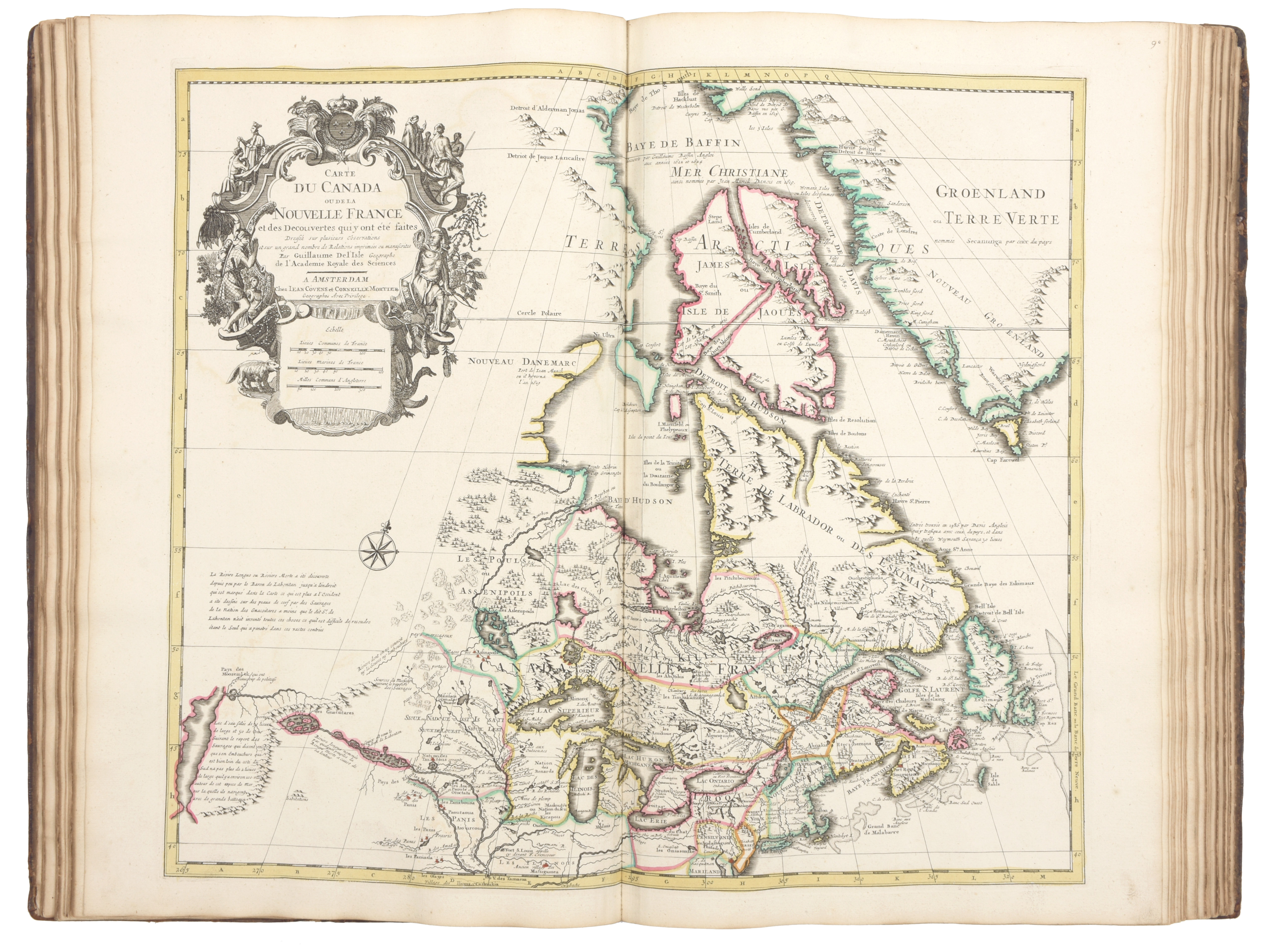
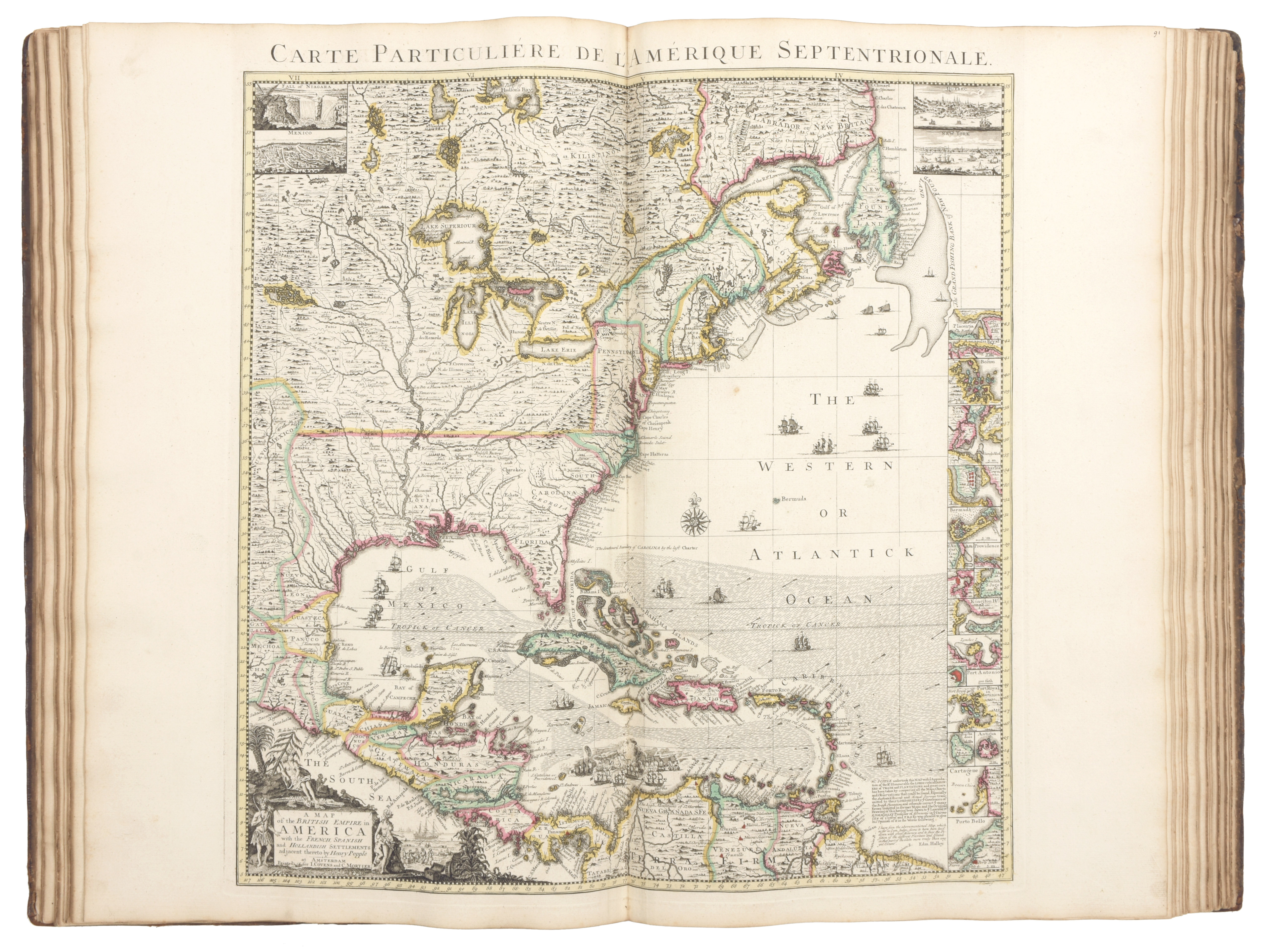
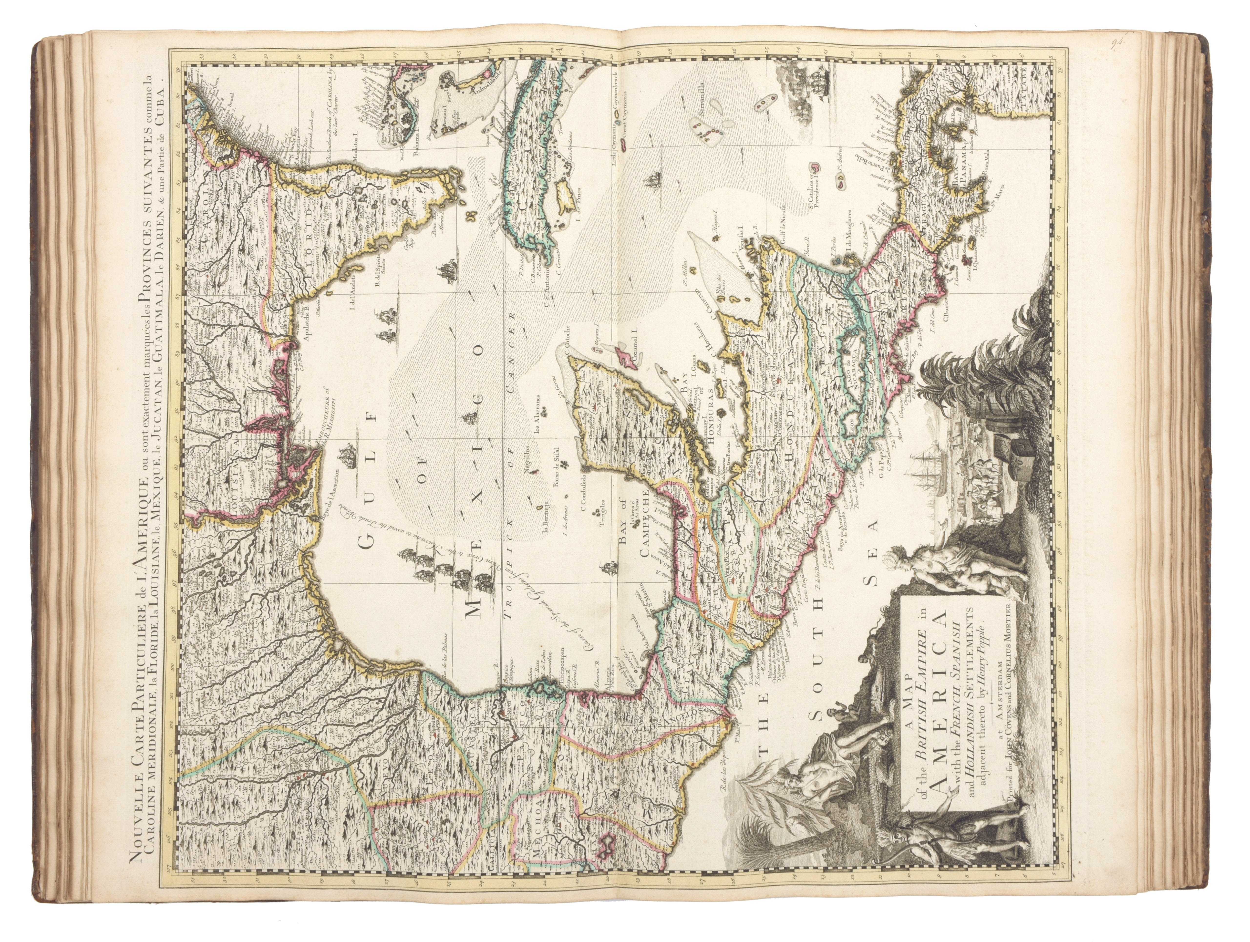
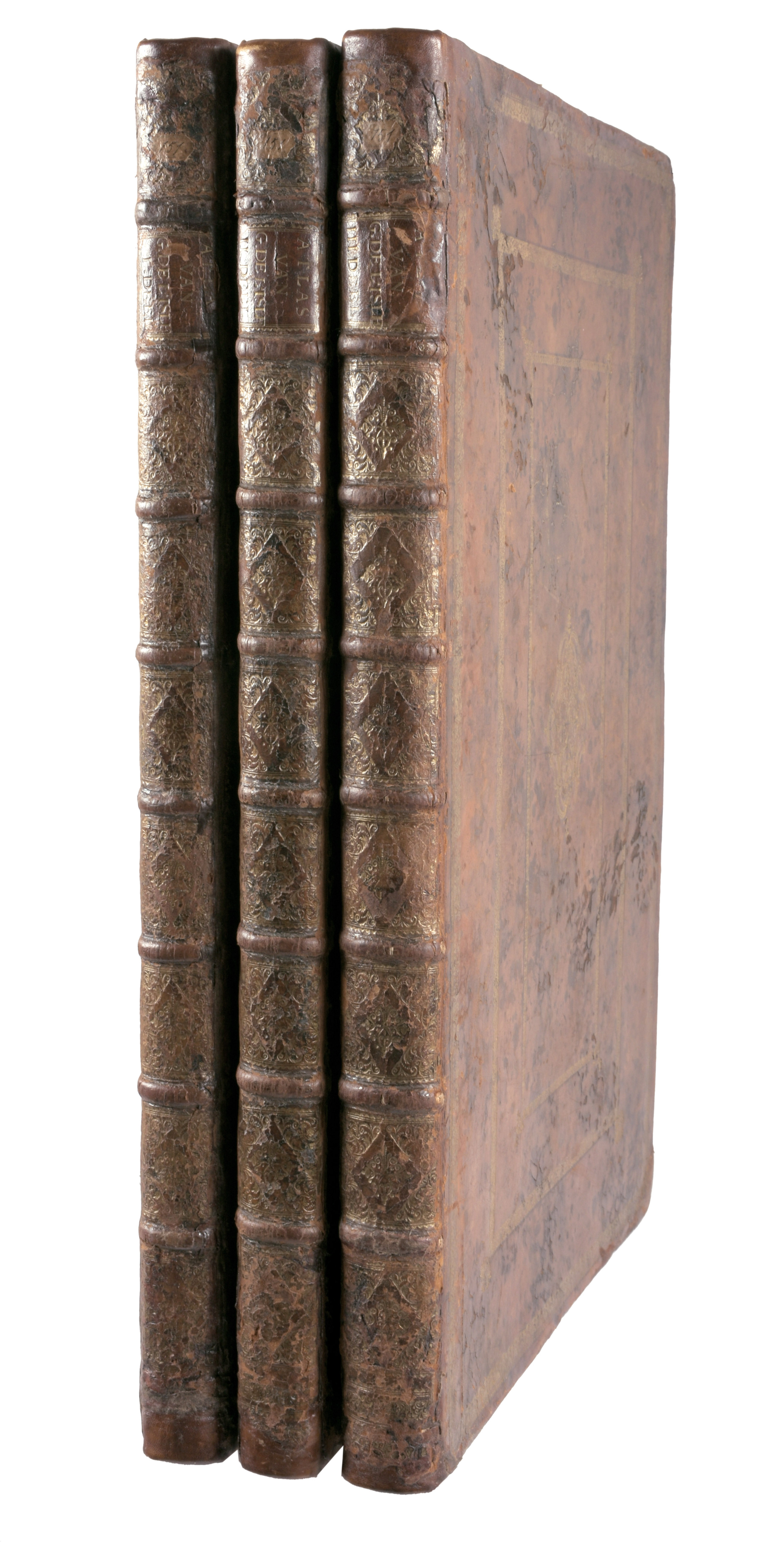
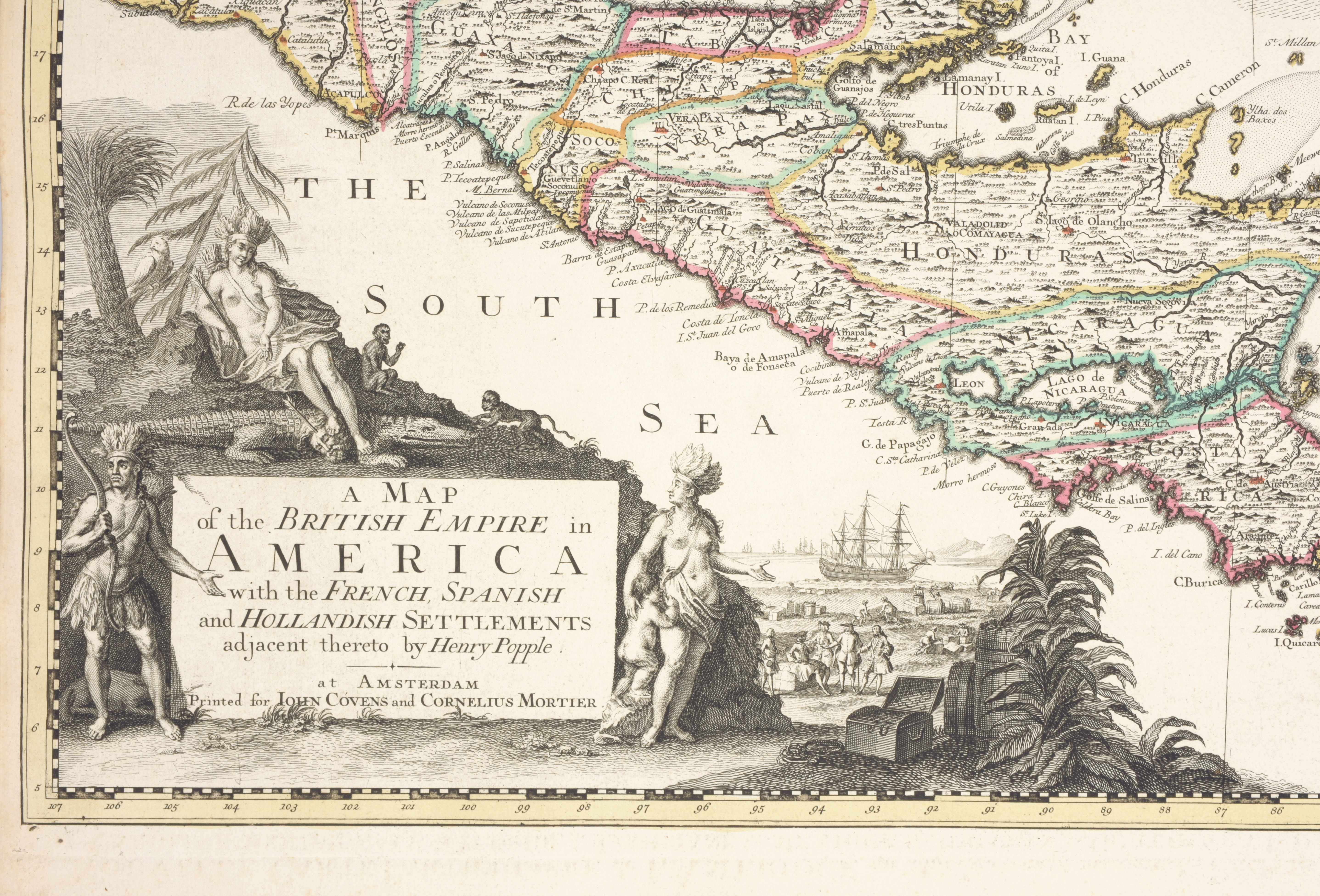
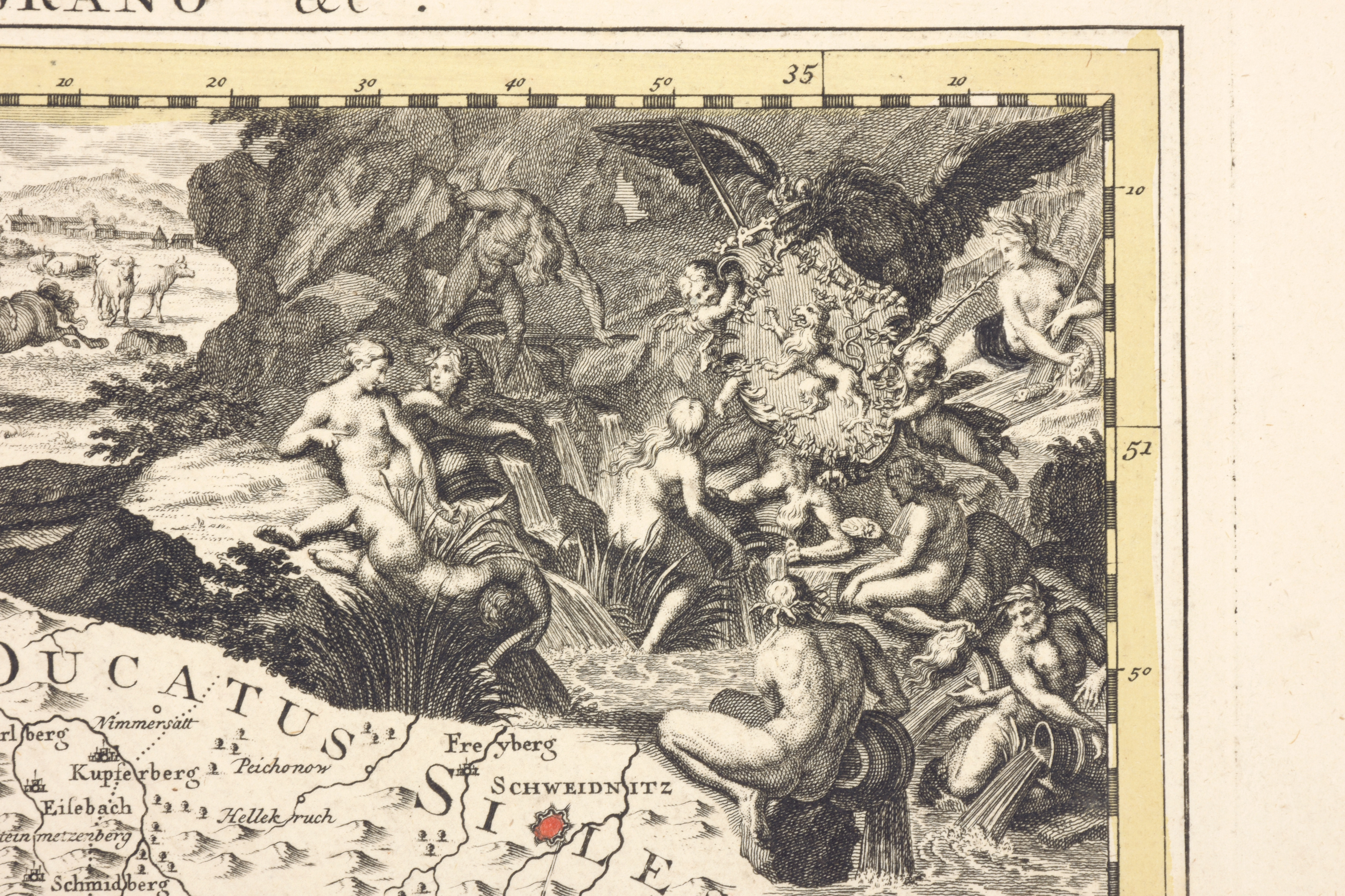
3 vol. in-folio (54 x 34 cm), allegorical frontisp. engraved by Romeyn de Hooghe (contemporary HAND COLOURED), 2 typographical title pages printed in red and black, with a vignette by Wandelaar and with a vignette by Folkema. With 119 very large engraved maps (plus 1 duplicate), all double page except for 7 larger folding on larger sheets. All but two COLOURED in outline by a contemporary hand. Many of the maps include fine pictorial decorations, inset maps or city plans, coats arms or decorative cartouches. The maps in the present copy are numbered in manuscript from 1 to 122, but there is an extra number 55 [bis], no numbers 79, 87 or 105 and 71 is a duplicate of 70. The present copy includes Philippe Durell's rare 1740 map of the 1739 NAVAL BATTLE of PORTOBELLO in Panama (n°100). This map does not appear in any of the contents lists for the various editions of the present atlas and Koeman does not record it in any atlas at all. Henry POPPLE's 6 maps of British North America are also of special interest and among the latest maps in the album, not yet included in the list of contents for the 1742 edition but advertised on 6 February 1742 to appear in a few days. Contemporary uniform, mottled and richly gold-tooled calf, sewn on 7 cords each board with a large centerpiece. (corners and ends of spine skillfully repaired) Some tools appear to match those used by the so-called Waaierbinderij in The Hague, active ca. 1732-1745
A rare beautiful, accurate and influential world atlas with 119 very large maps. Cf. Koeman II, C & M 5/7, plate 13 (frontisp.) Guillaume Delisle (1675-1726), son of Claude Delisle, became the student of the astronomer Jean-Dominique Cassini. Guillaume Delisle is known for his popular and accurate maps of Europe and the newly explored Americas. Joannes Covens and Cornelis Mortier published Delisles maps