IMPORTANT: Accept cookies to place a bid!
Our website requires cookies for the bidding form to work. Without cookies, your cart will remain empty, and you won’t be able to place a bid. Click ‘Accept’ to enable bidding and ensure the website functions optimally. We ask for your consent to use cookies.

I agree to the use of cookies. I don't agree to the use of cookies..
back to overview

[SEA CHART FRANCE]

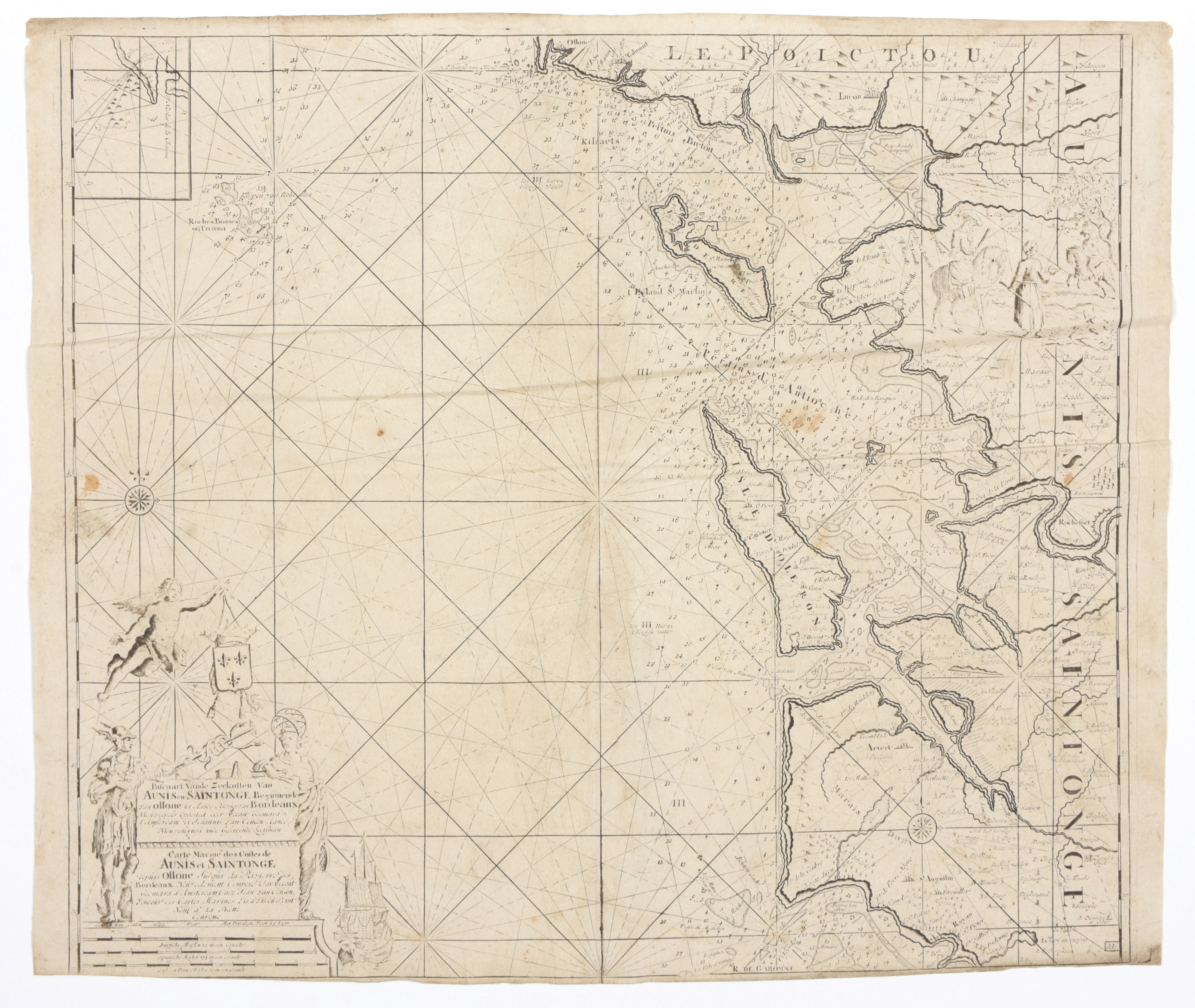
Pascaart vande Zeekusten van Aunis en Saintonge Beginnende van Ollone tot aande Rivier van Bordeaux ...
€280 - €360

Chart (50 x 57 cm), by Van Keulen (fam.), from 'Nouveau et Grand Illuminant Flambeau de la Mer', 1715. Trimmed to neatline at bottom.
We add:
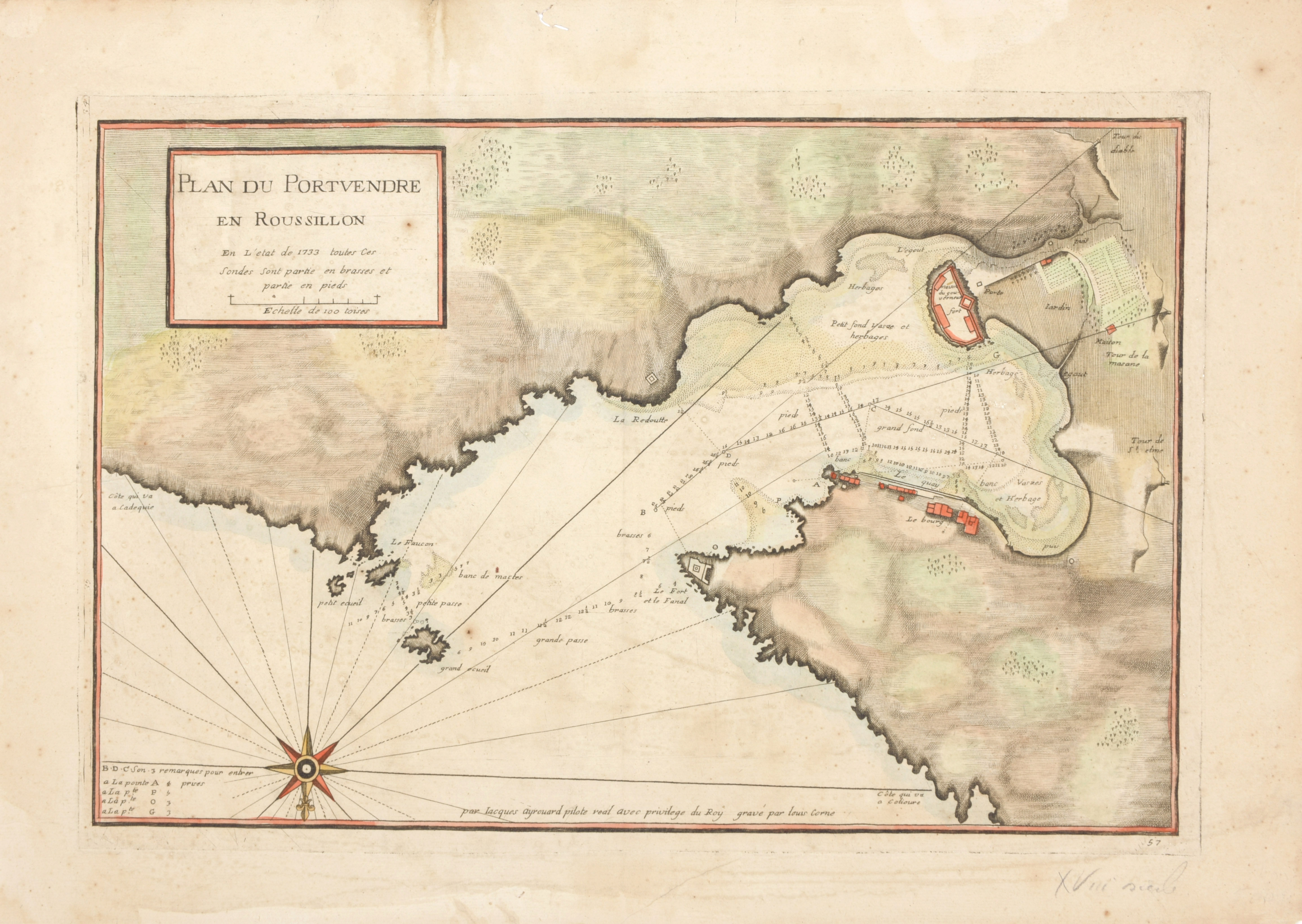
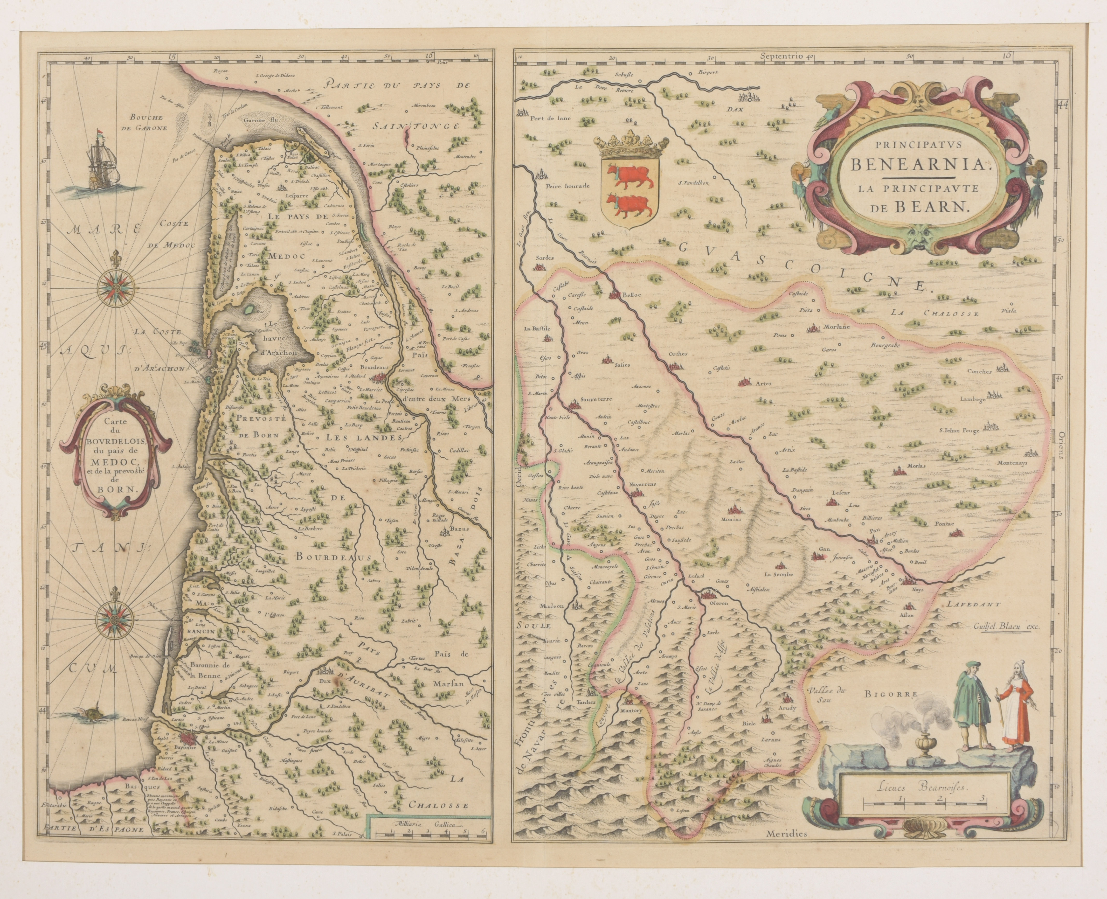
'Plan du Portvendre et Roussillon', handcol. chart (30.5 x 46 cm) by J. Ayrouard and engr. by Louis Corne, c. 1750 + and 2 cont. handcol. charts on one leaf 'Pricipatus Benearnia' and 'Carte du Bourdelois du pais de Medoc' by Blaeu (Amsterdam, c. 1650) (3)