IMPORTANT: Accept cookies to place a bid!
Our website requires cookies for the bidding form to work. Without cookies, your cart will remain empty, and you won’t be able to place a bid. Click ‘Accept’ to enable bidding and ensure the website functions optimally. We ask for your consent to use cookies.

I agree to the use of cookies. I don't agree to the use of cookies..
back to overview

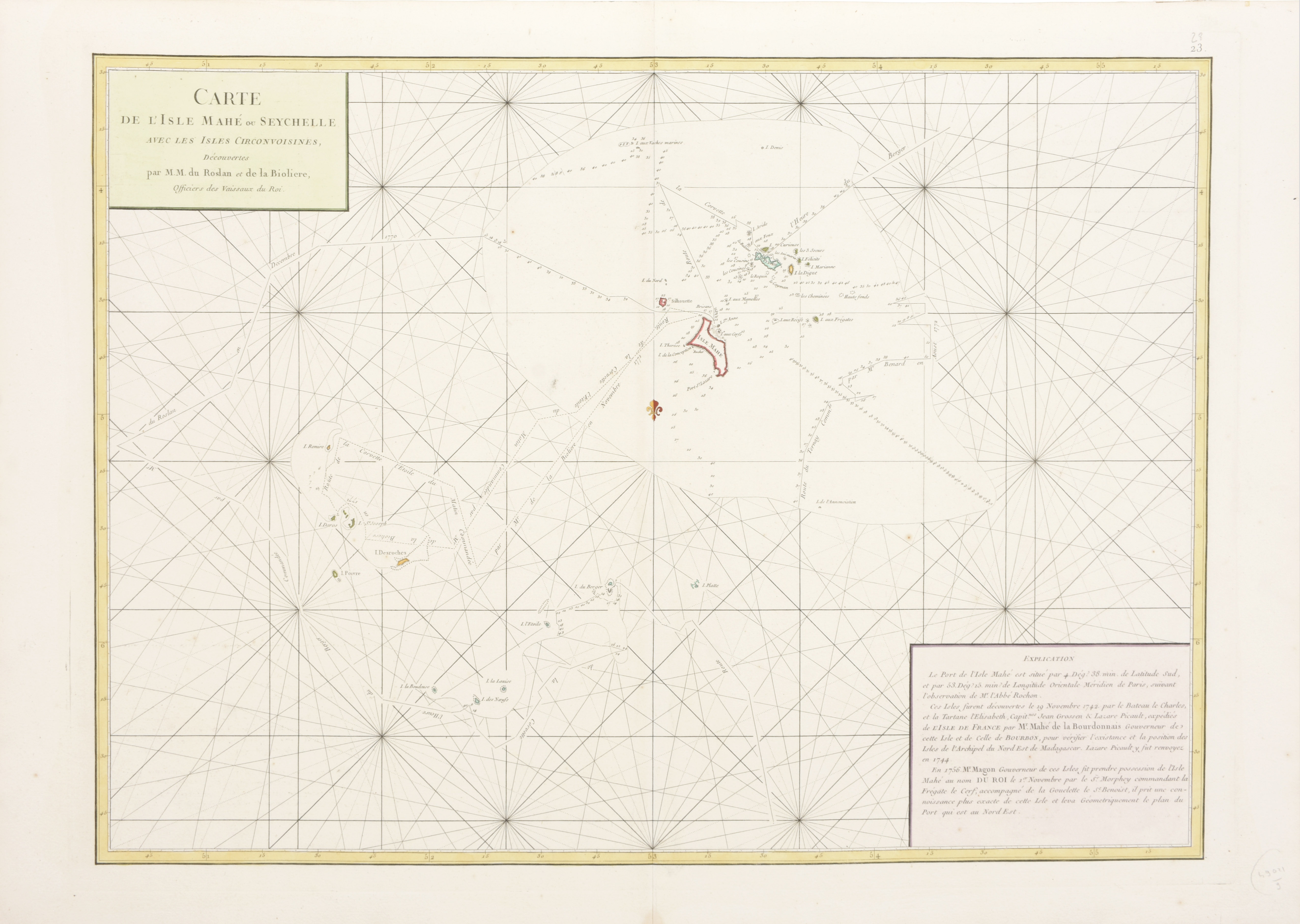
[SEA CHART SEYCHELLES]

Carte de L'Isle Mahe ou Seychelle avec les Isles Circonvoisines...
€260 - €380

Cont. handcol. map (50 x 69 cm) by Mannevillette, J.B. (Paris, c. 1781).
We add:
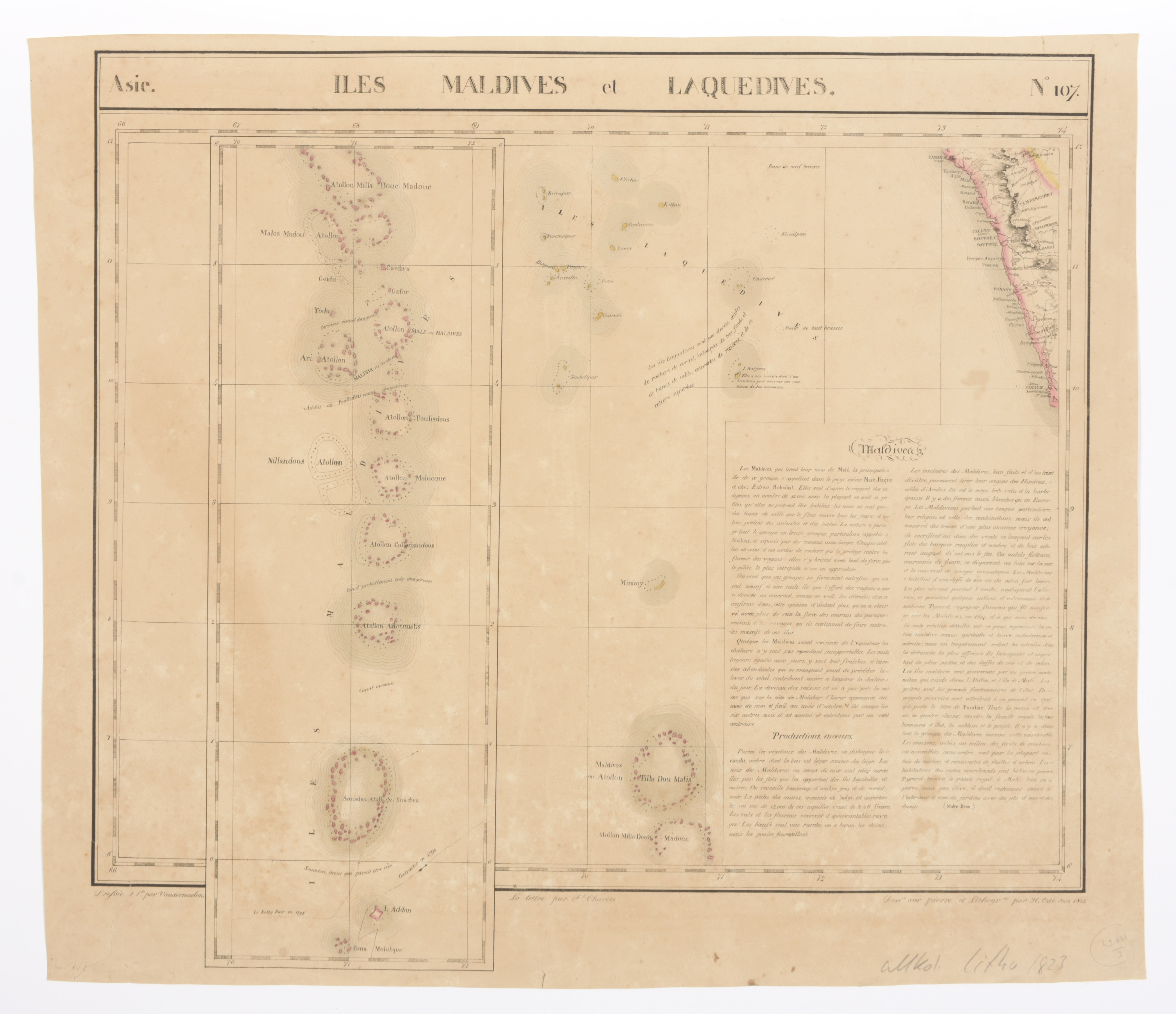
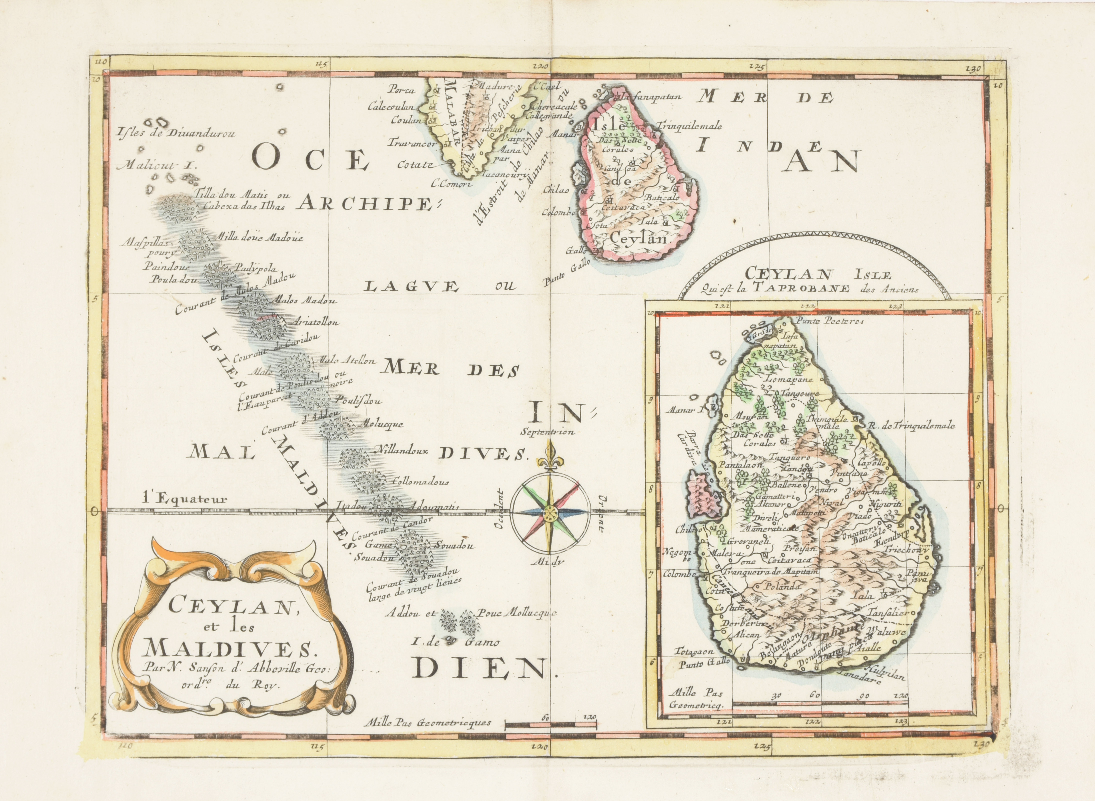
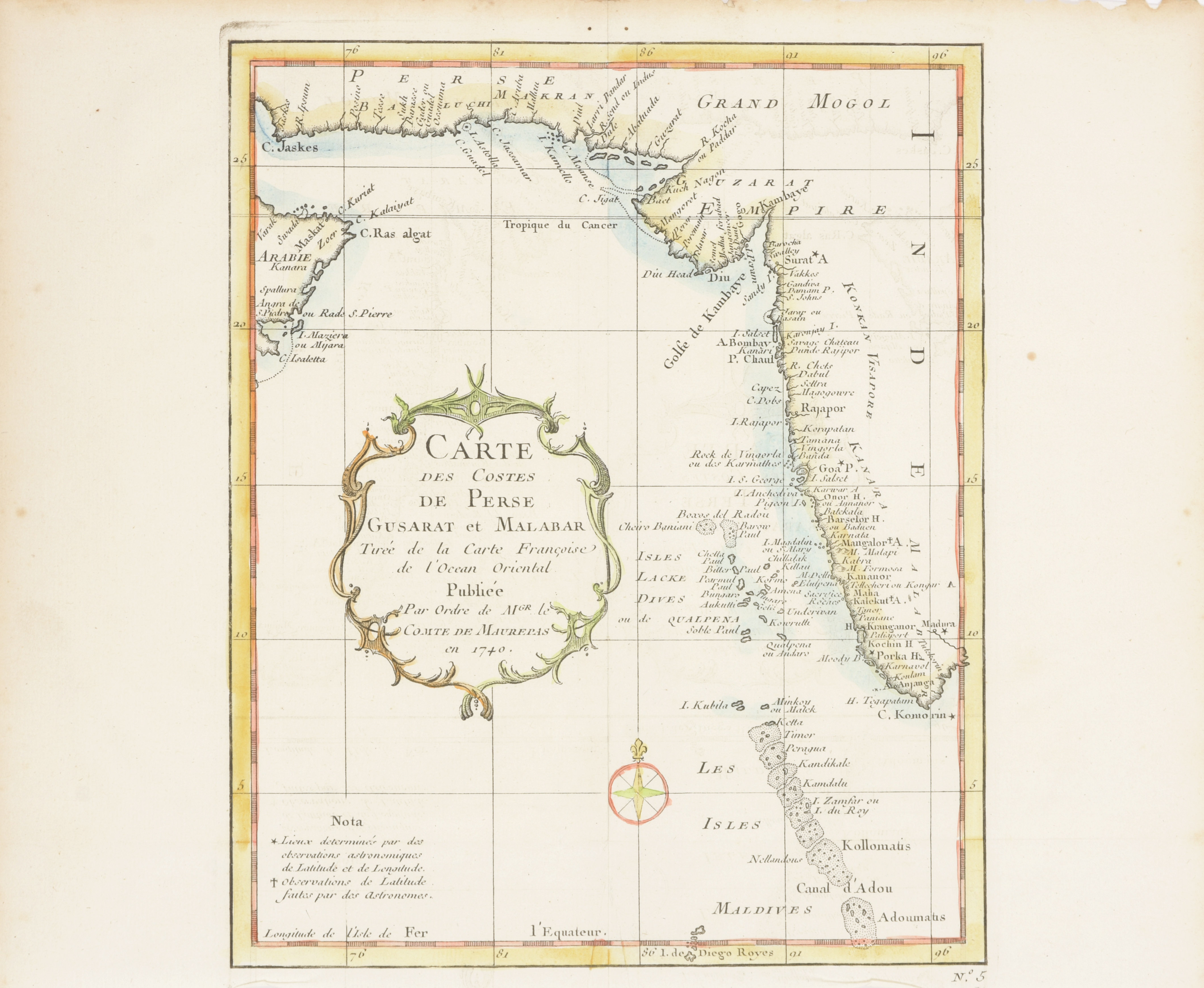
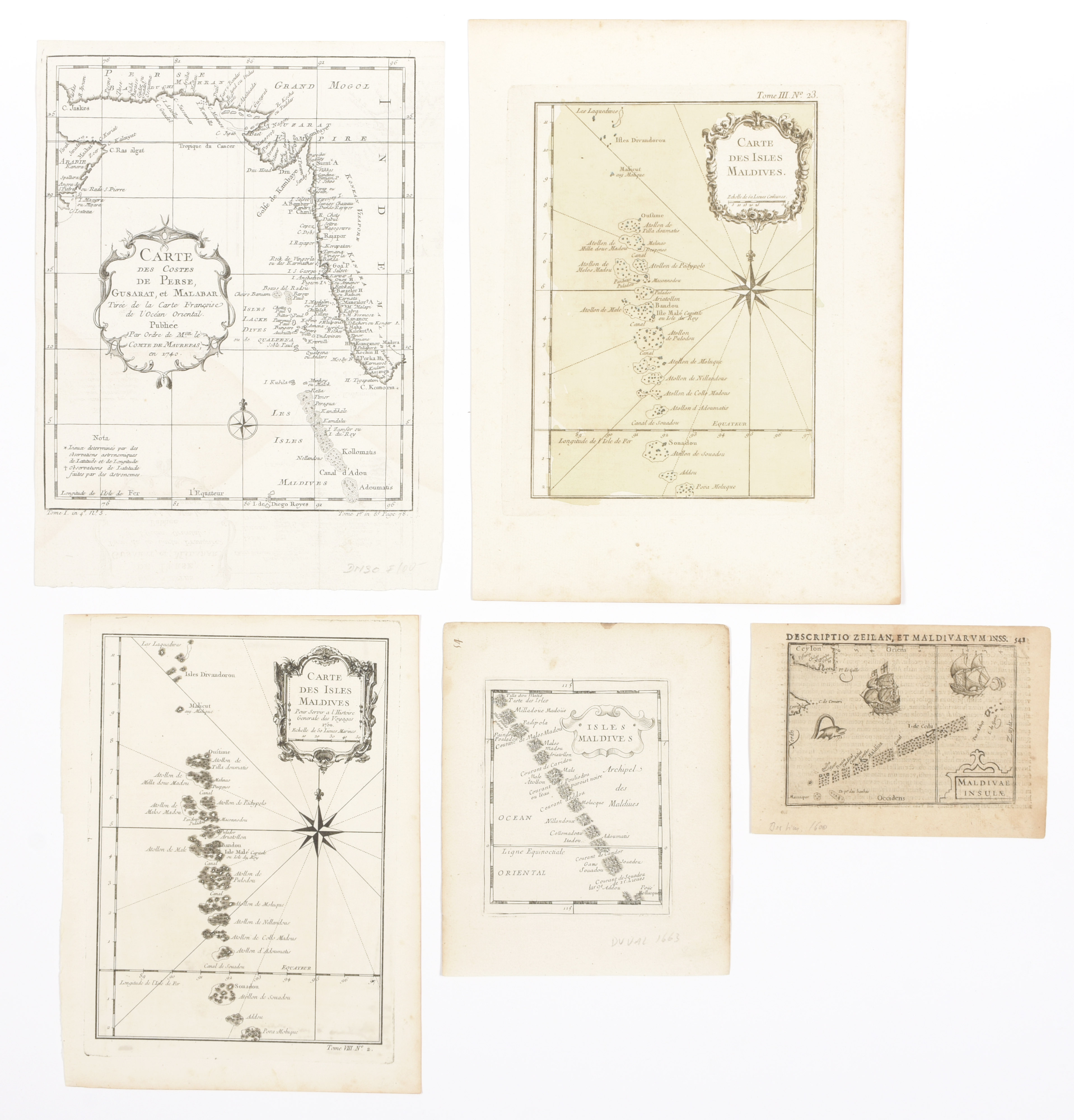
'Iles Maldives et Laquedives', Cont. handcol. litho map (52 x 57 cm) by Charles (Brussels, Vandermaelen, 1825) + 'Ceylan et les Maldives', cont. handcol. map by Sanson + 'Carte des costes de Perse Gusarat et Malabar', handcol. map (25 x 20 cm) by de Fer + 'Carte des Isles Maldives', cont. handcol. map (23 x 18.5 cm) + 'Maldivae Insulae', map (9 x 13 cm) by Ortelius c. 1600 + 3 others (9)