IMPORTANT: Accept cookies to place a bid!
Our website requires cookies for the bidding form to work. Without cookies, your cart will remain empty, and you won’t be able to place a bid. Click ‘Accept’ to enable bidding and ensure the website functions optimally. We ask for your consent to use cookies.

I agree to the use of cookies. I don't agree to the use of cookies..
back to overview

[SEA CHARTS IRELAND]

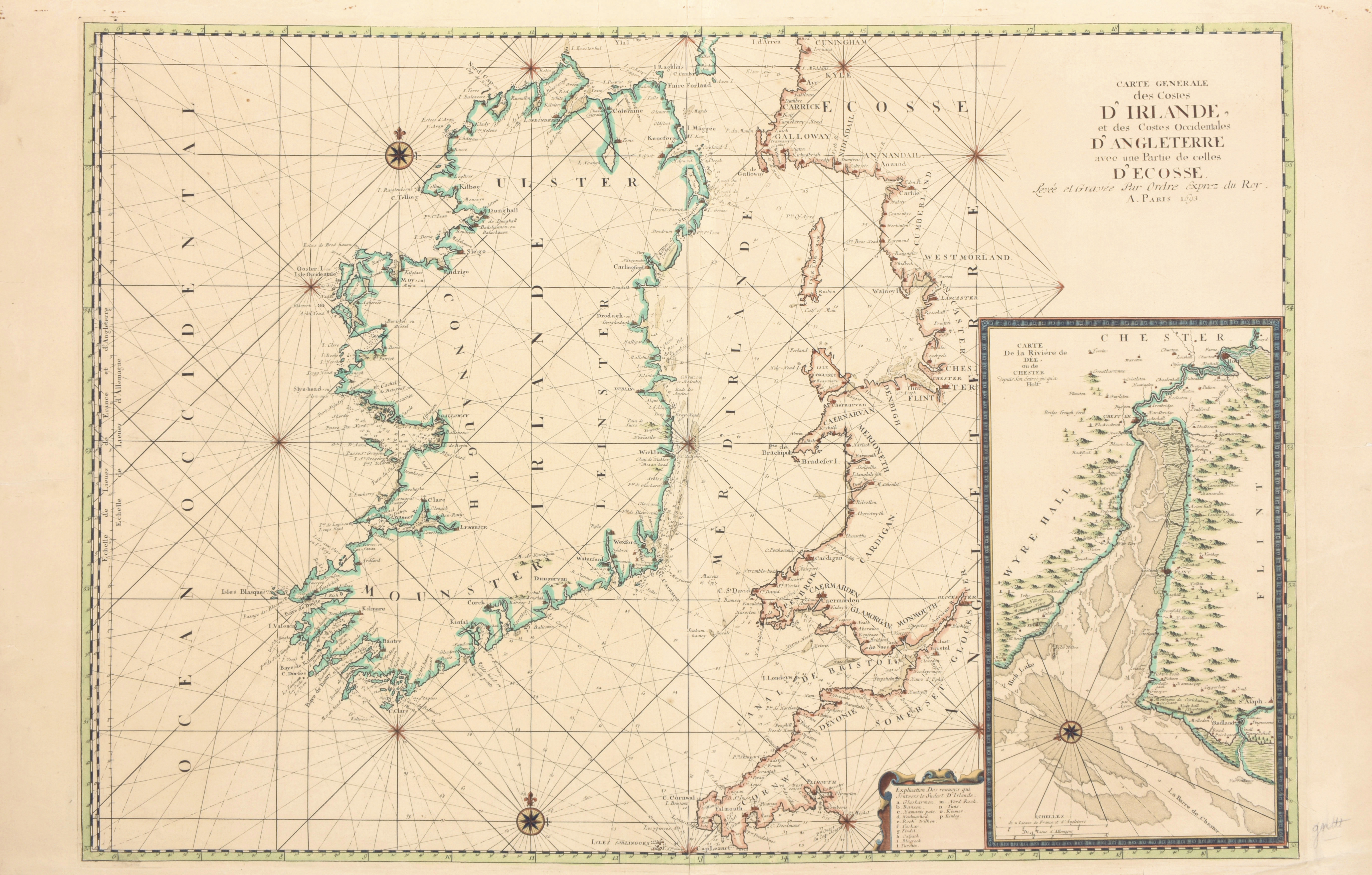
Carte generale des Costes d'Irlande, et des Costes Occidentales d'Angleterre avec une Partie de celles d'Ecosse
€280 - €360

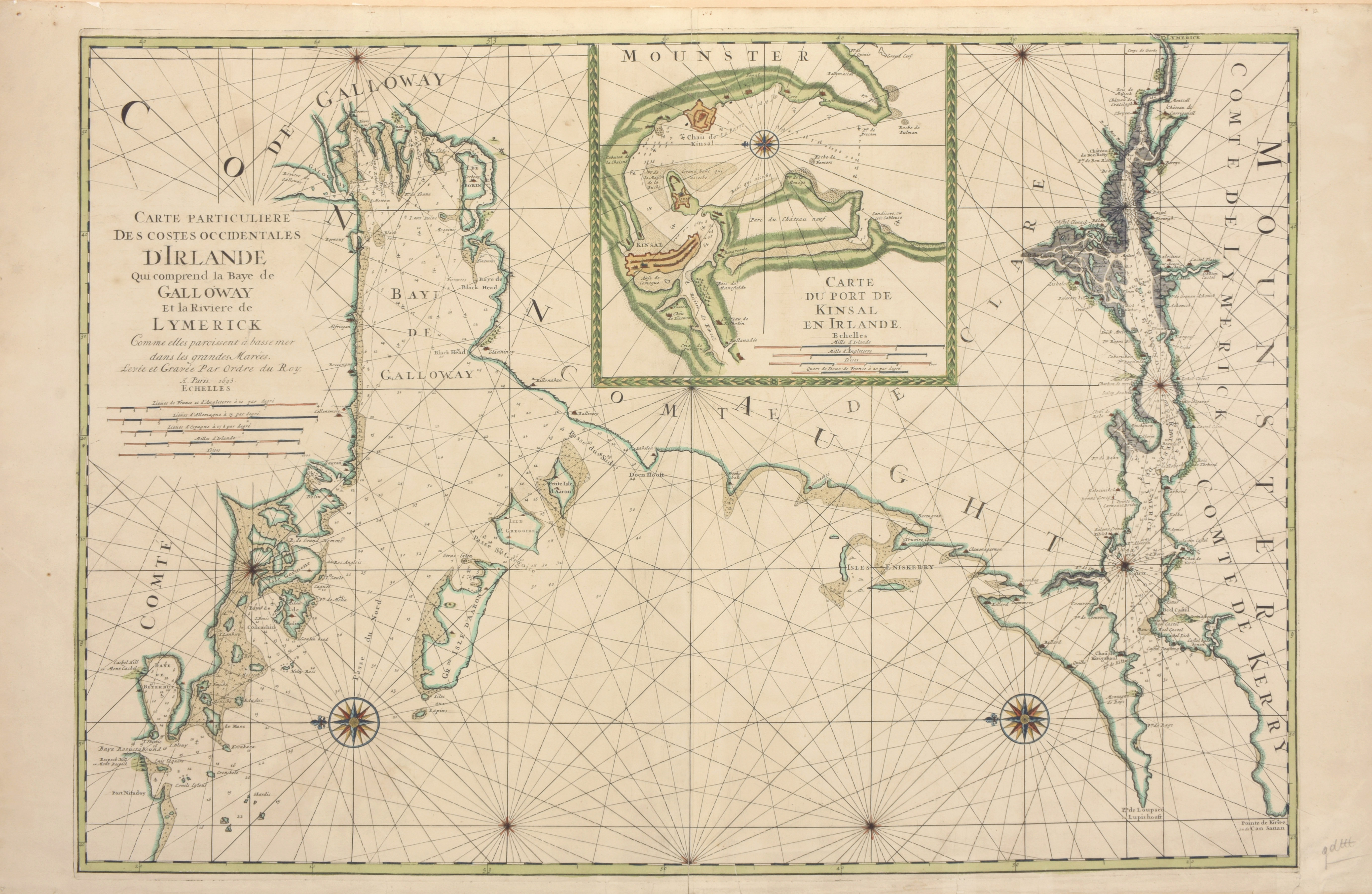
Large contemp. handcol. engr. chart (59 x 96 cm), sm. cartouche w. a legend, 2 compass roses and a large inset map of ""(...) la Riviere de Dee, ou de Chester"", from P. MORTIER, Neptune Francois, 1693 + from the same atlas 'Carte particuliere des costes occidentales d'Irlande qui comprend la Baye de Galloway et la rivière de Lymerick', cont. handcol. chart (60 x 87.5 cm) (2)