IMPORTANT: Accept cookies to place a bid!
Our website requires cookies for the bidding form to work. Without cookies, your cart will remain empty, and you won’t be able to place a bid. Click ‘Accept’ to enable bidding and ensure the website functions optimally. We ask for your consent to use cookies.

I agree to the use of cookies. I don't agree to the use of cookies..
back to overview

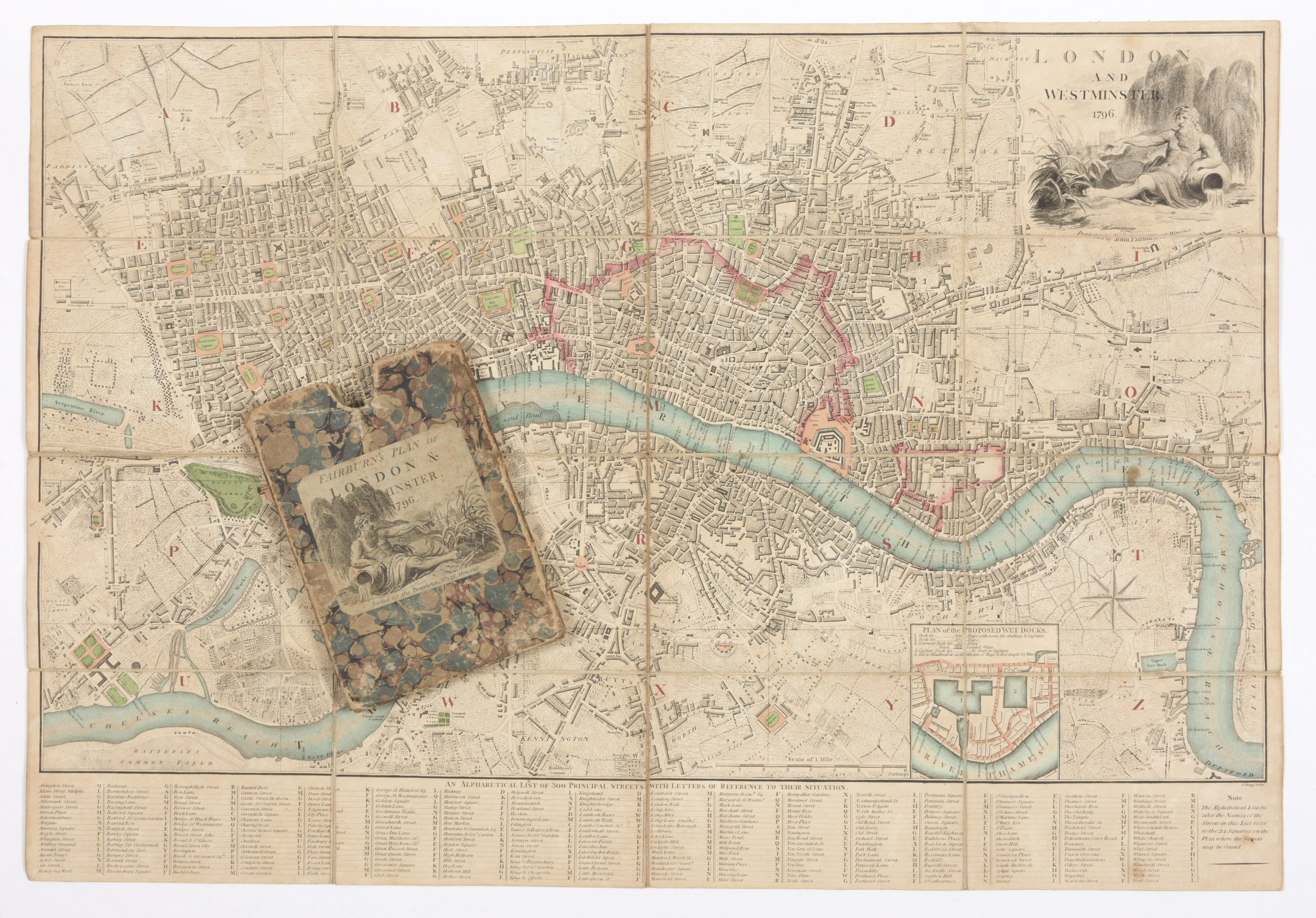
FAIRBURN, John

London and Westminster, 1796
€200 - €300

442 x 642 mm, detailed folding map of London by Mogg, extending from Knightsbridge to the The Isle of Dogs, and North to South from Pentonville to Kennington, with key and inset 'Plan of the Proposed Wet Docks', engraving with some hand-colouring, dissected and mounted on linen, minor surface dirt, folding into marbled slip-case with decorative title with vignette depicting Father Thames in the upper right corner, on upper cover, rubbed and worn