IMPORTANT: Accept cookies to place a bid!
Our website requires cookies for the bidding form to work. Without cookies, your cart will remain empty, and you won’t be able to place a bid. Click ‘Accept’ to enable bidding and ensure the website functions optimally. We ask for your consent to use cookies.

I agree to the use of cookies. I don't agree to the use of cookies..
back to overview

[REGIO GENT]

Kaart regio Gent met inzetje van Gravensteen
€200 - €300

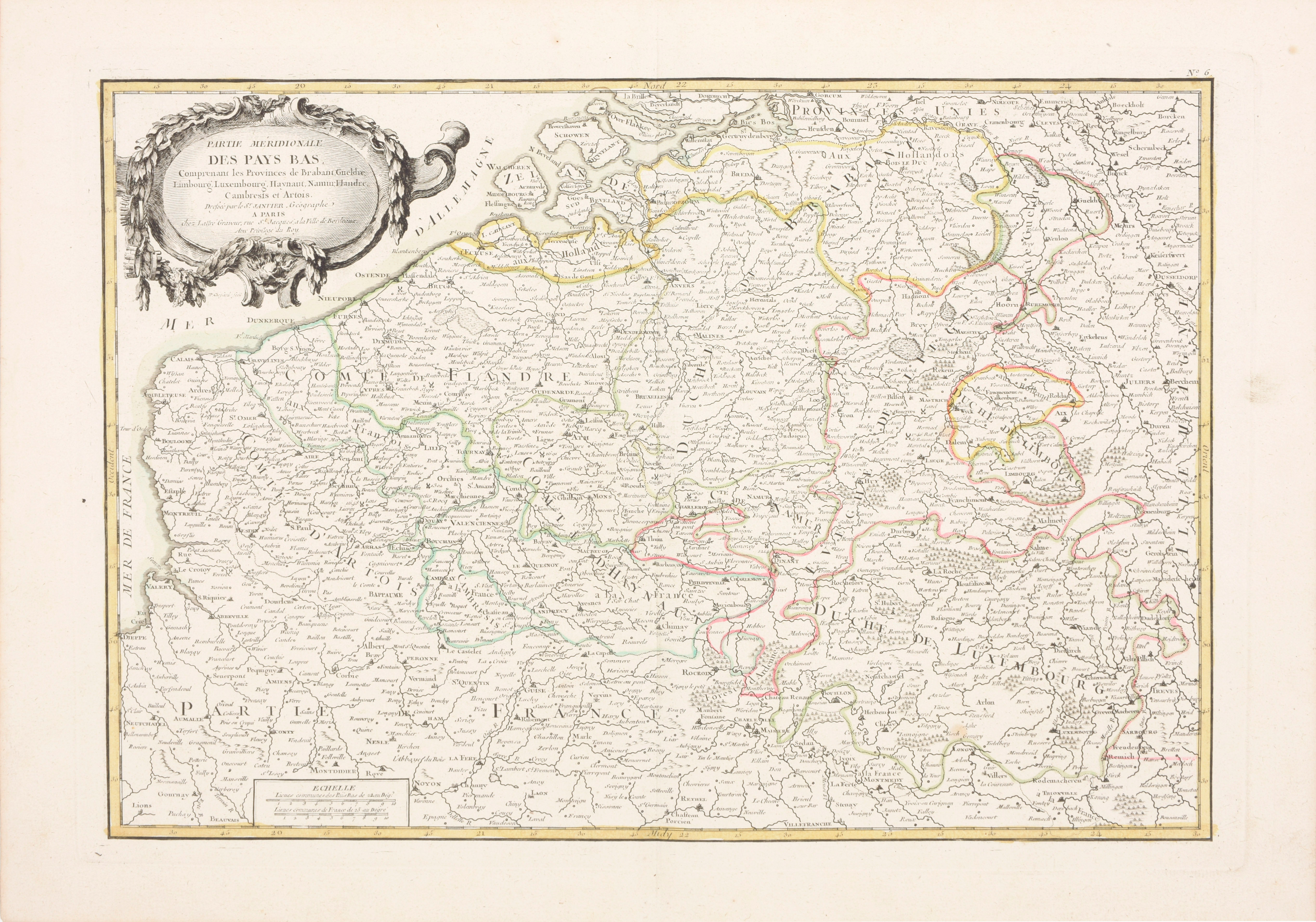
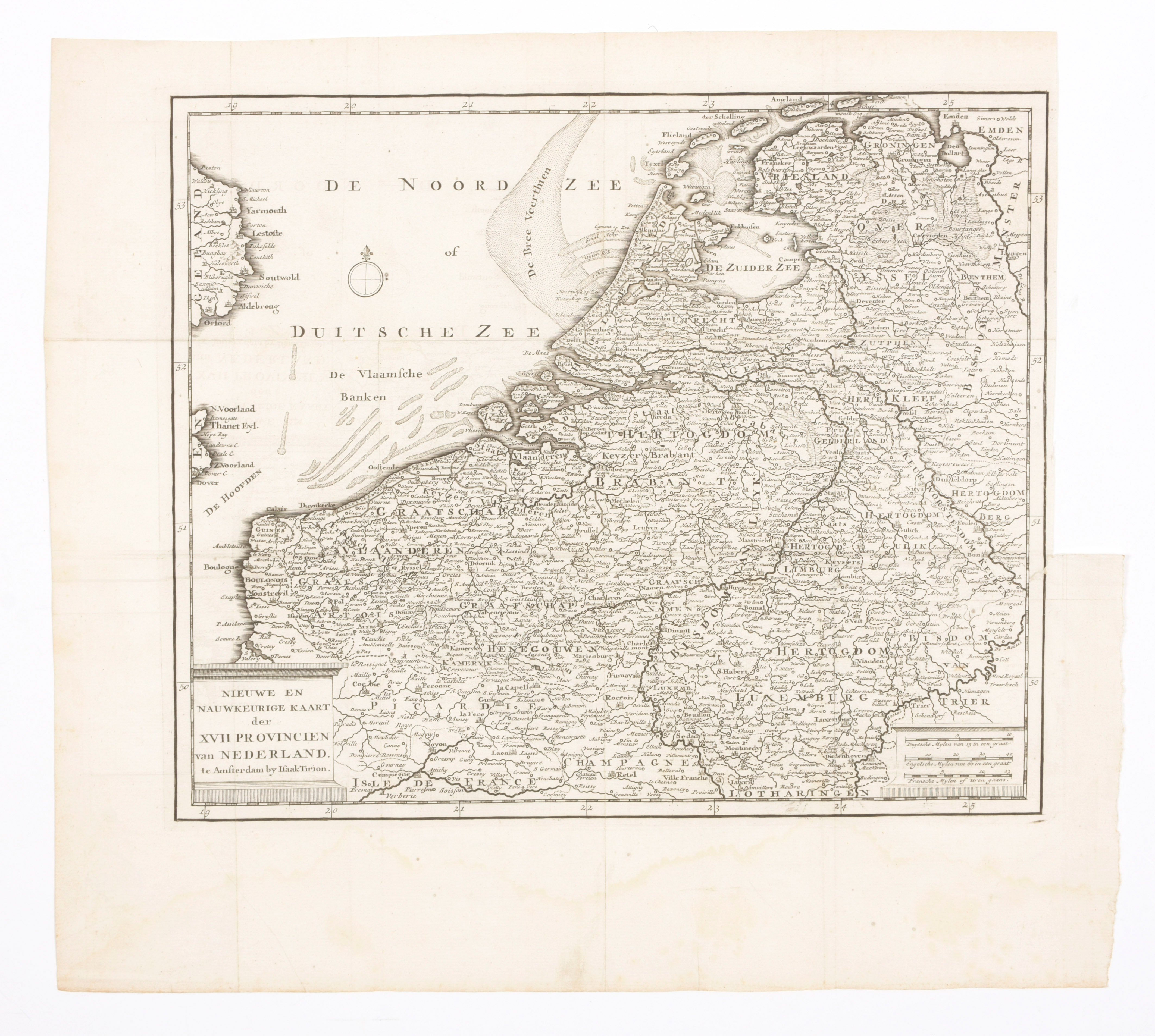
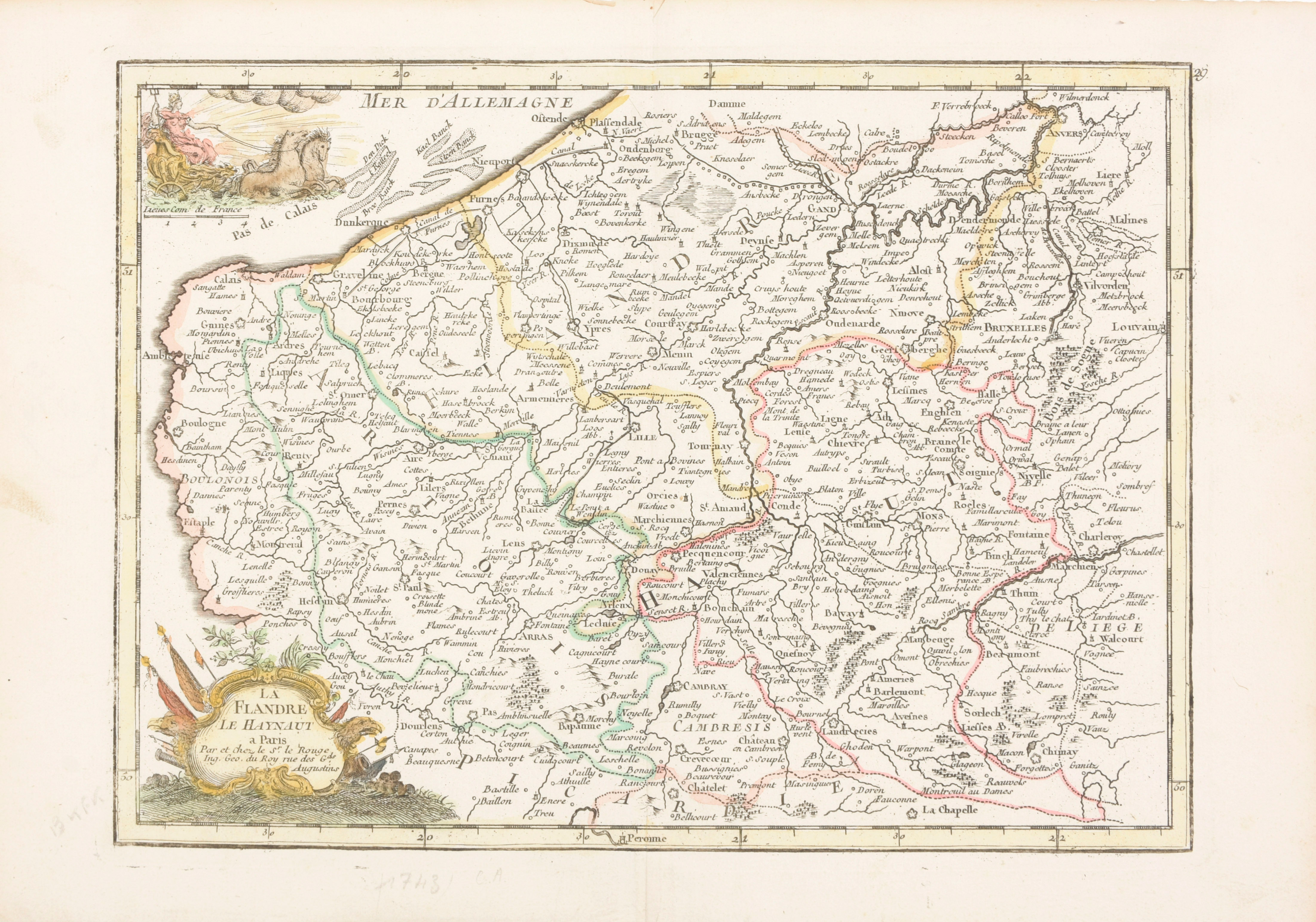
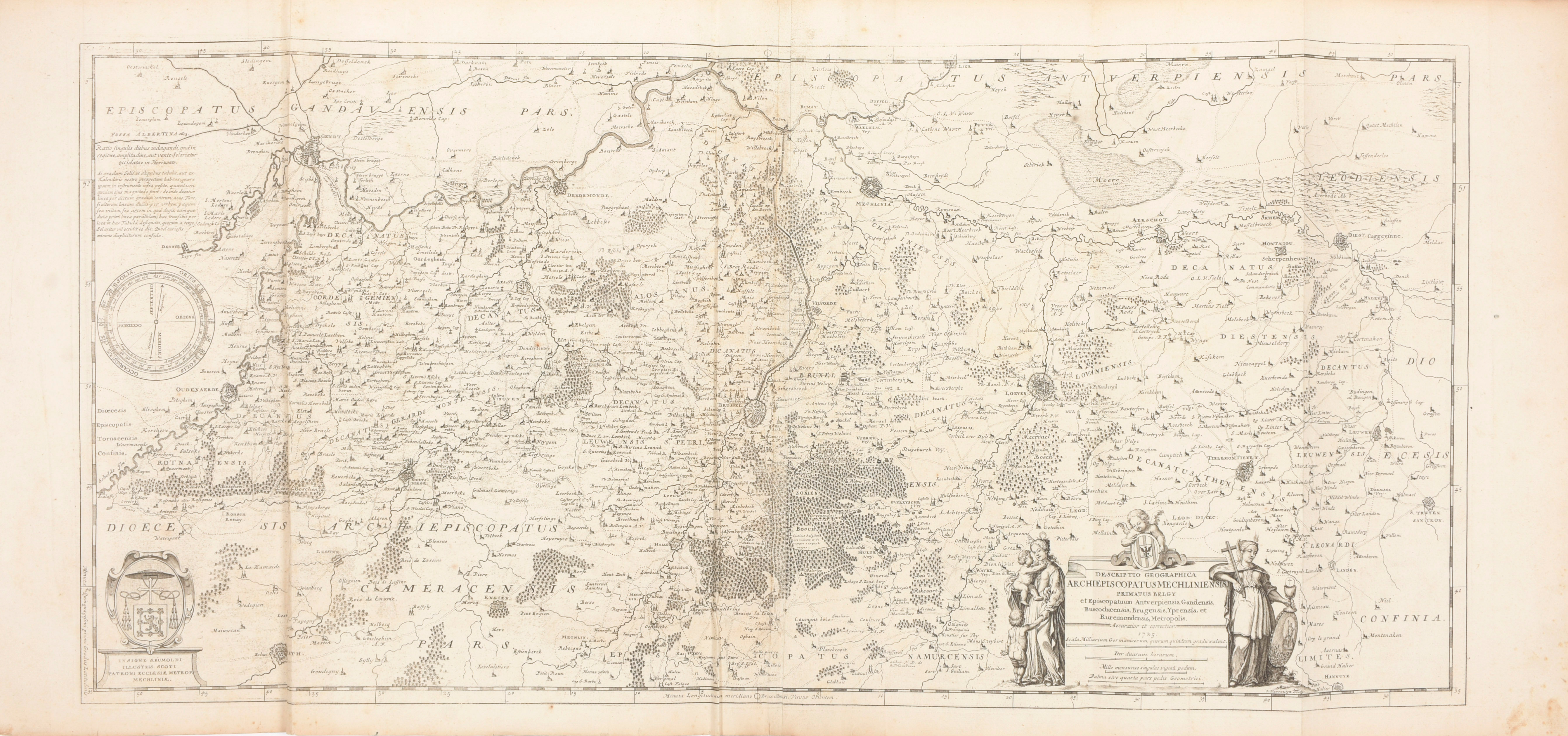
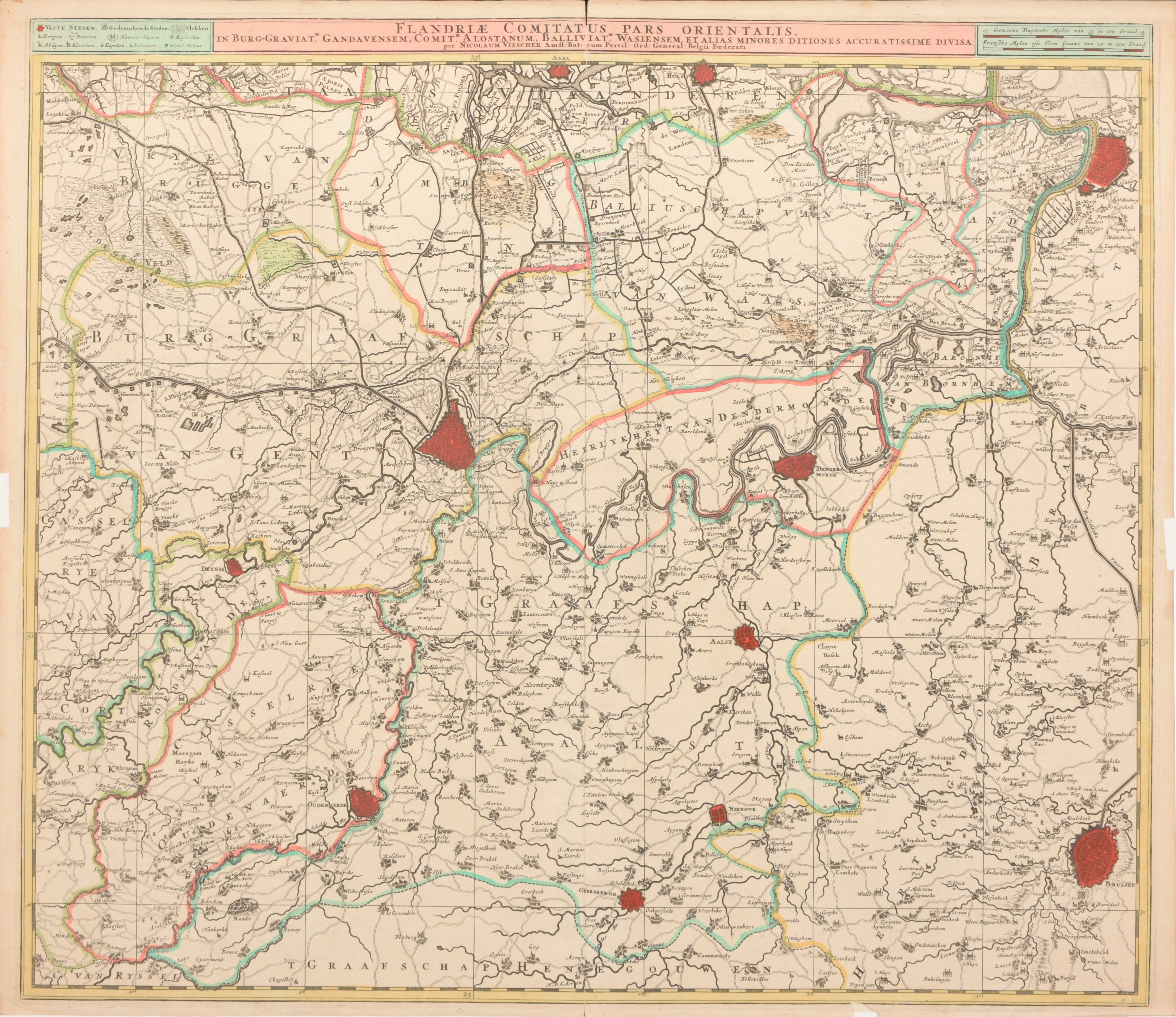
Handgekleurde kopergr. (42 x 50 cm) uit Sanderus (1732). Bijgevoegd: 'Flandriae Comitatus pars orientalis', handgekl. kaart (50.5 x 58 cm) door N. Visscher (Amsterdam, ca. 1700) + 'Descriptio geographica archiepiscopatus Mechliniensis', uit Brabantia (1725), kopergr. (41 x 86 cm) + 'XVII Provincien', kaart (29.5 x 35 cm) uit Tirion (Amsterdam, ca. 1760) + 'La Flandre - Le Haynaut', handgekl. kaart (20.5 x 27.5 cm) door Le Rouge, Paris, ca. 1740 + 'Partie meridionale des Pays-Bas', handgekl. kaart (33 x 47 cm) door Janvier, Paris, ca. 1760 (6)