IMPORTANT: Accept cookies to place a bid!
Our website requires cookies for the bidding form to work. Without cookies, your cart will remain empty, and you won’t be able to place a bid. Click ‘Accept’ to enable bidding and ensure the website functions optimally. We ask for your consent to use cookies.

I agree to the use of cookies. I don't agree to the use of cookies..
back to overview

[SEA CHARTS]

Lot of 5 sea charts - Europe
€60 - €100

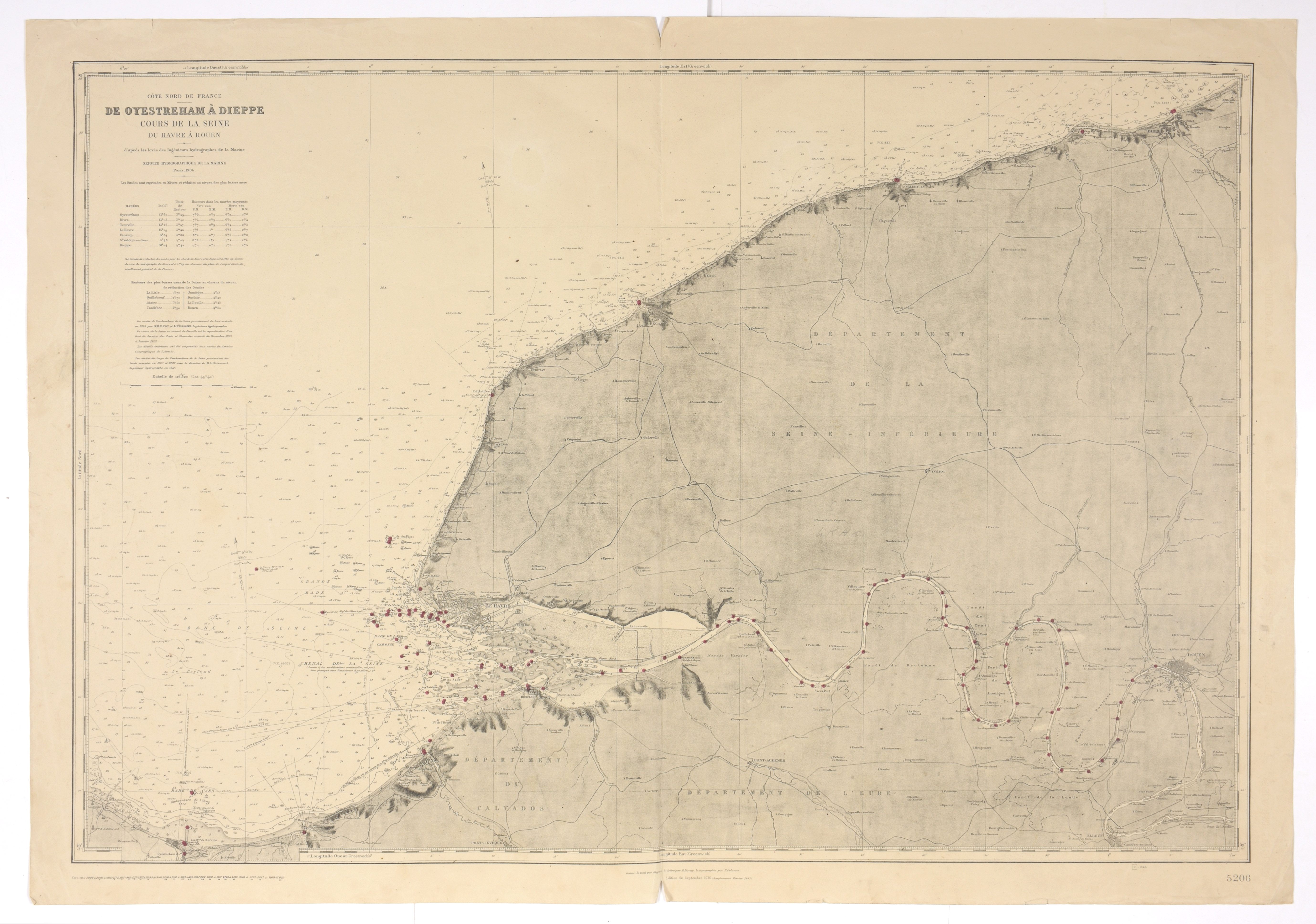
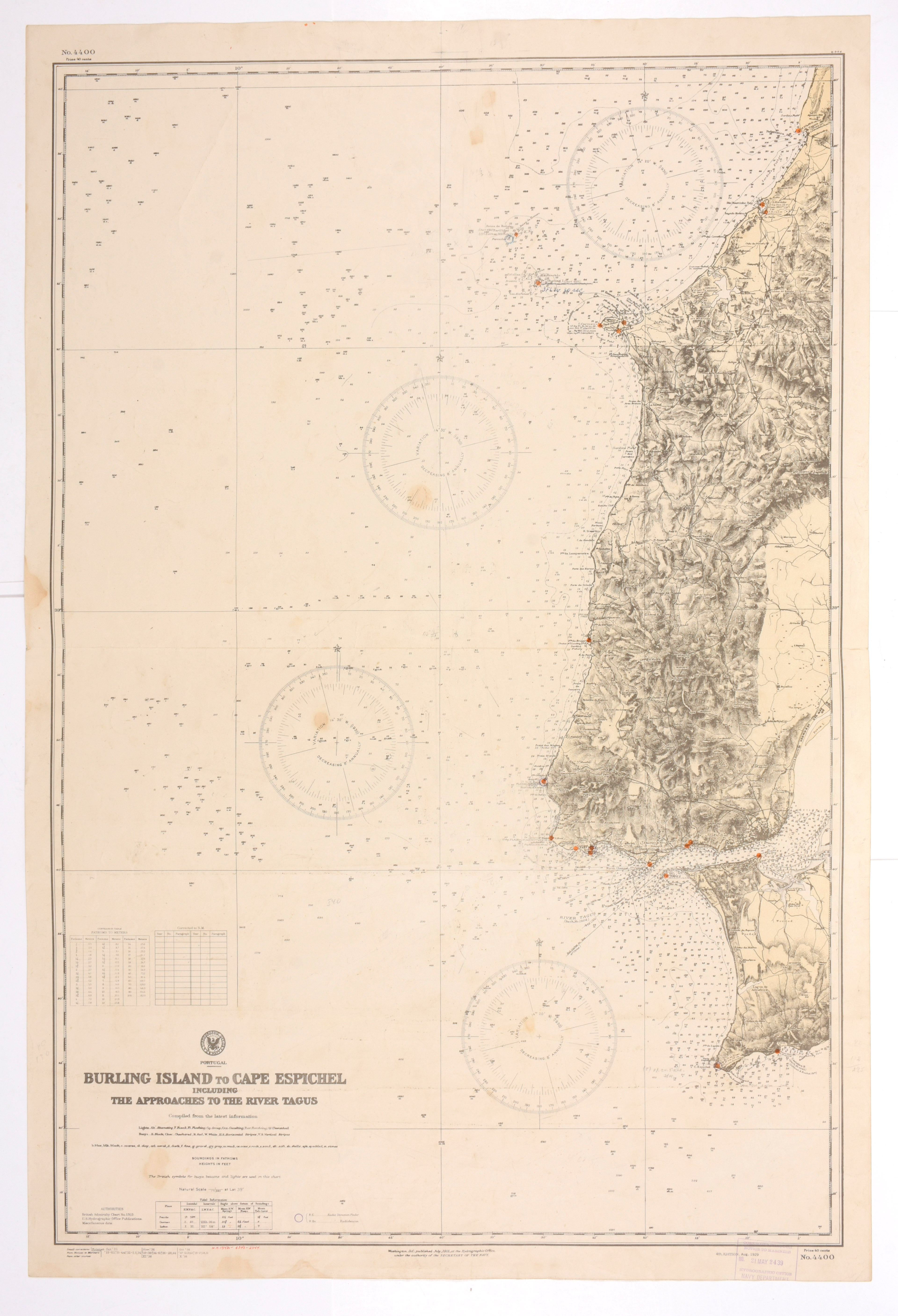
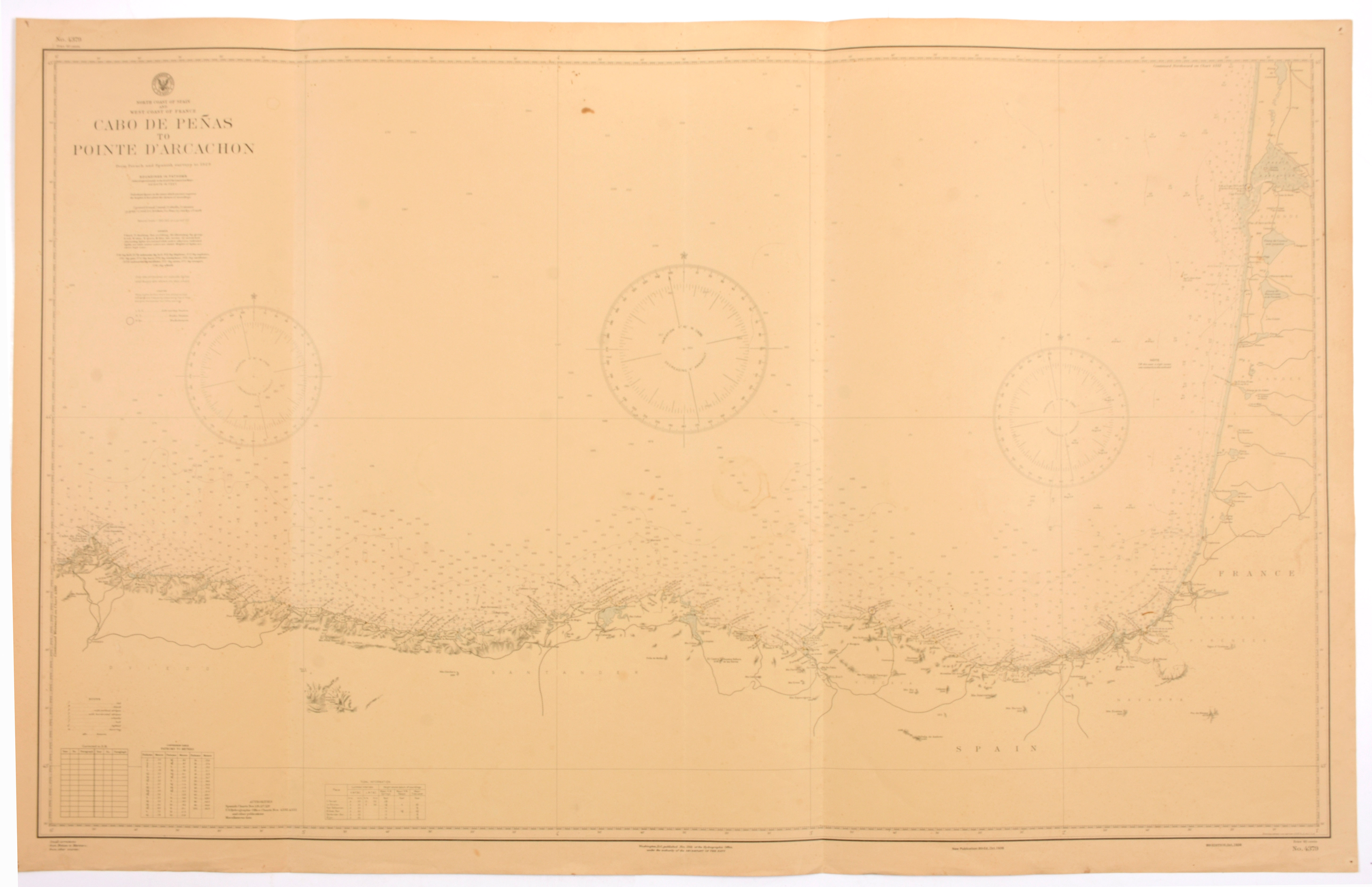
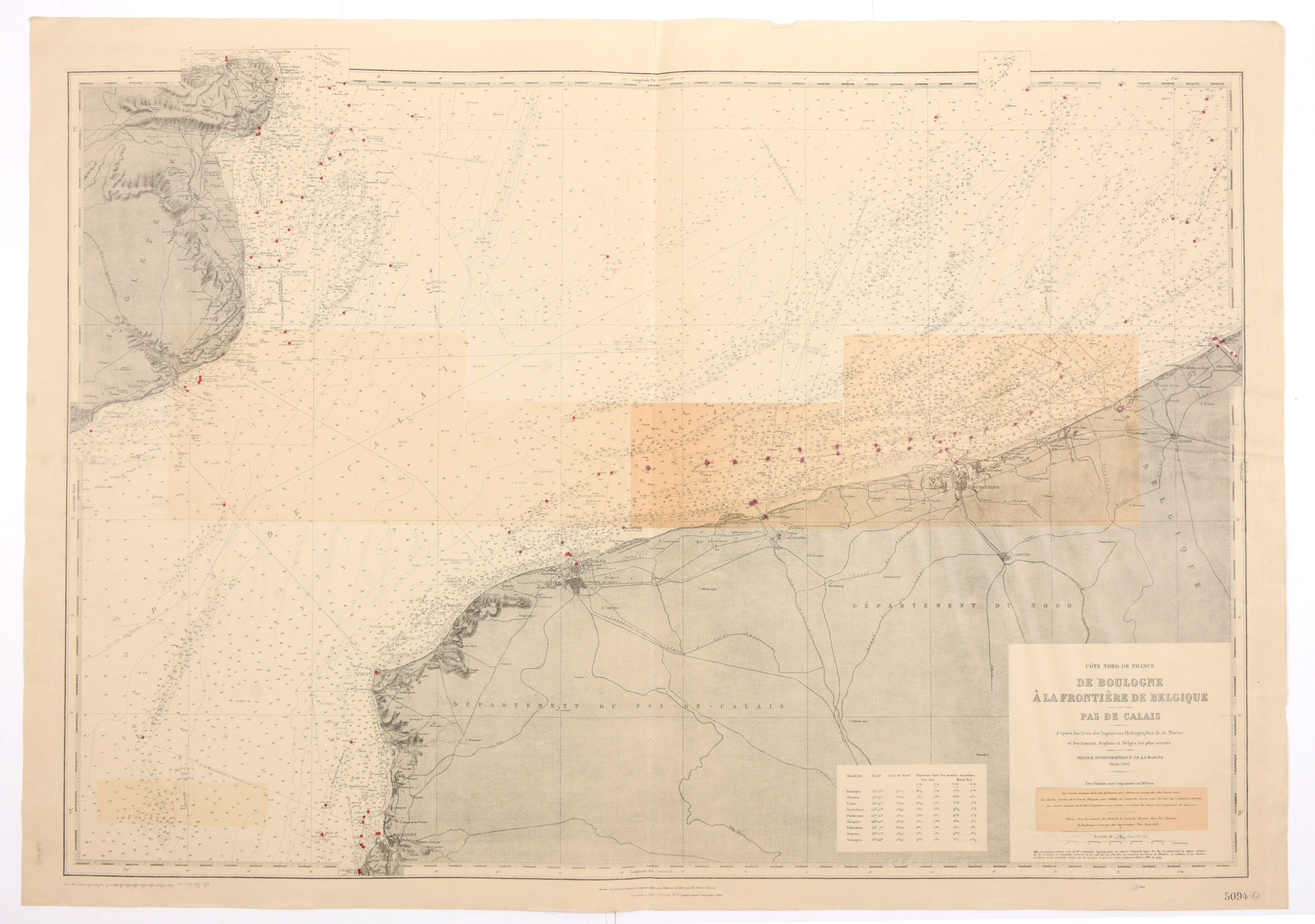
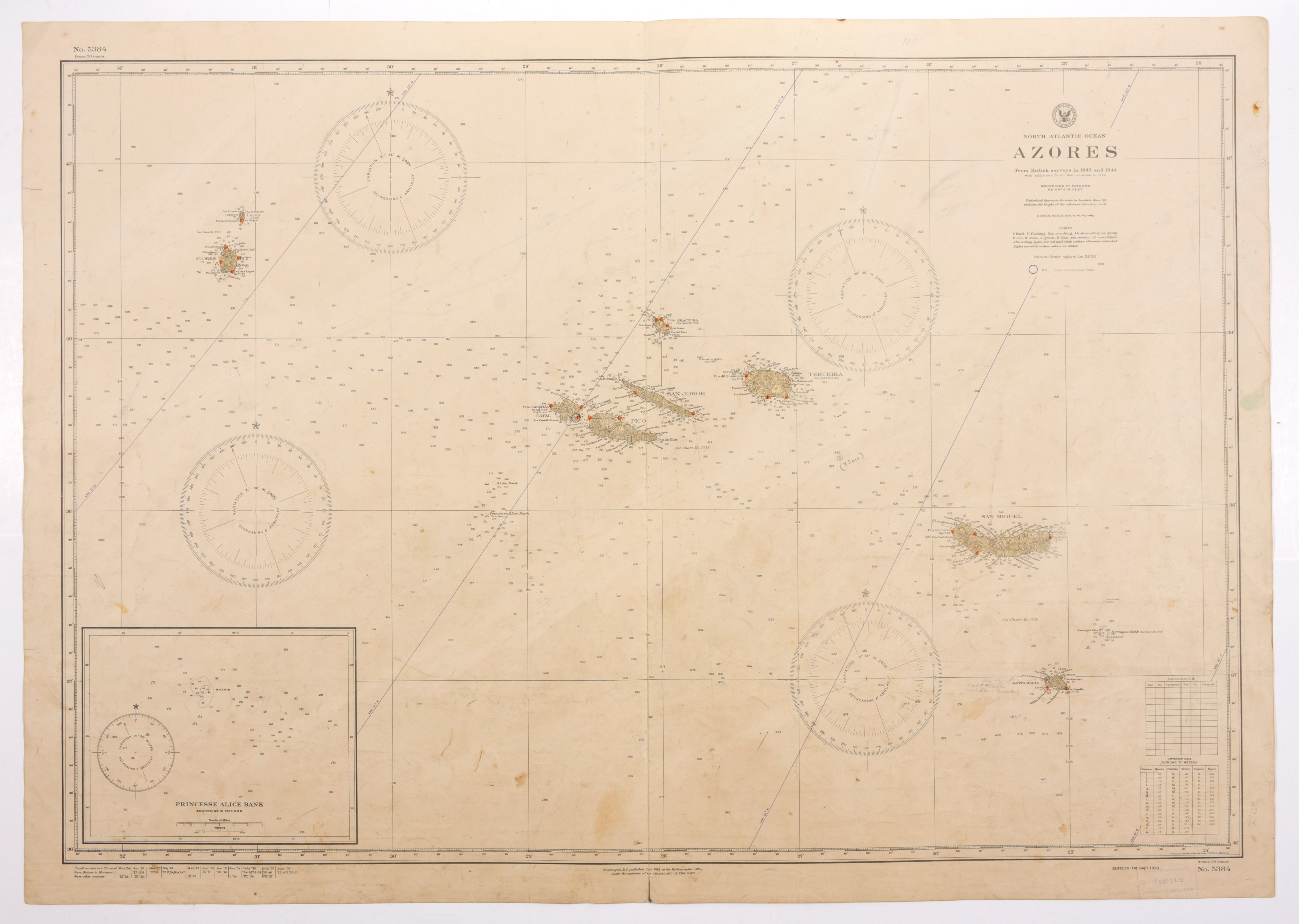
Côte Nord de France. De Oyestreham à Dieppe, cours de la Seine du Havre à Rouen. Edition 1943. (map 5206) + Côte Nord de France, De Boulogne à la frontière de Belgique, Pas de Calais. Paris, Service hydrographique de la Marine, 1947. (map 5094) + Portugal. Burling Island to Cape Espichel including the approaches to the River Tabus. Washington, edition 1938. (map 4400) + North Coast of Spain and West Coast of France. Cabo de Peñas to Pointe d'Arcachon. Washington edition 1938 (map 4379) + North Atlantic Ocean, Azores, from British Surveys. Washington, 1938. (map 5384) Together: 5 nautical maps