IMPORTANT: Accept cookies to place a bid!
Our website requires cookies for the bidding form to work. Without cookies, your cart will remain empty, and you won’t be able to place a bid. Click ‘Accept’ to enable bidding and ensure the website functions optimally. We ask for your consent to use cookies.

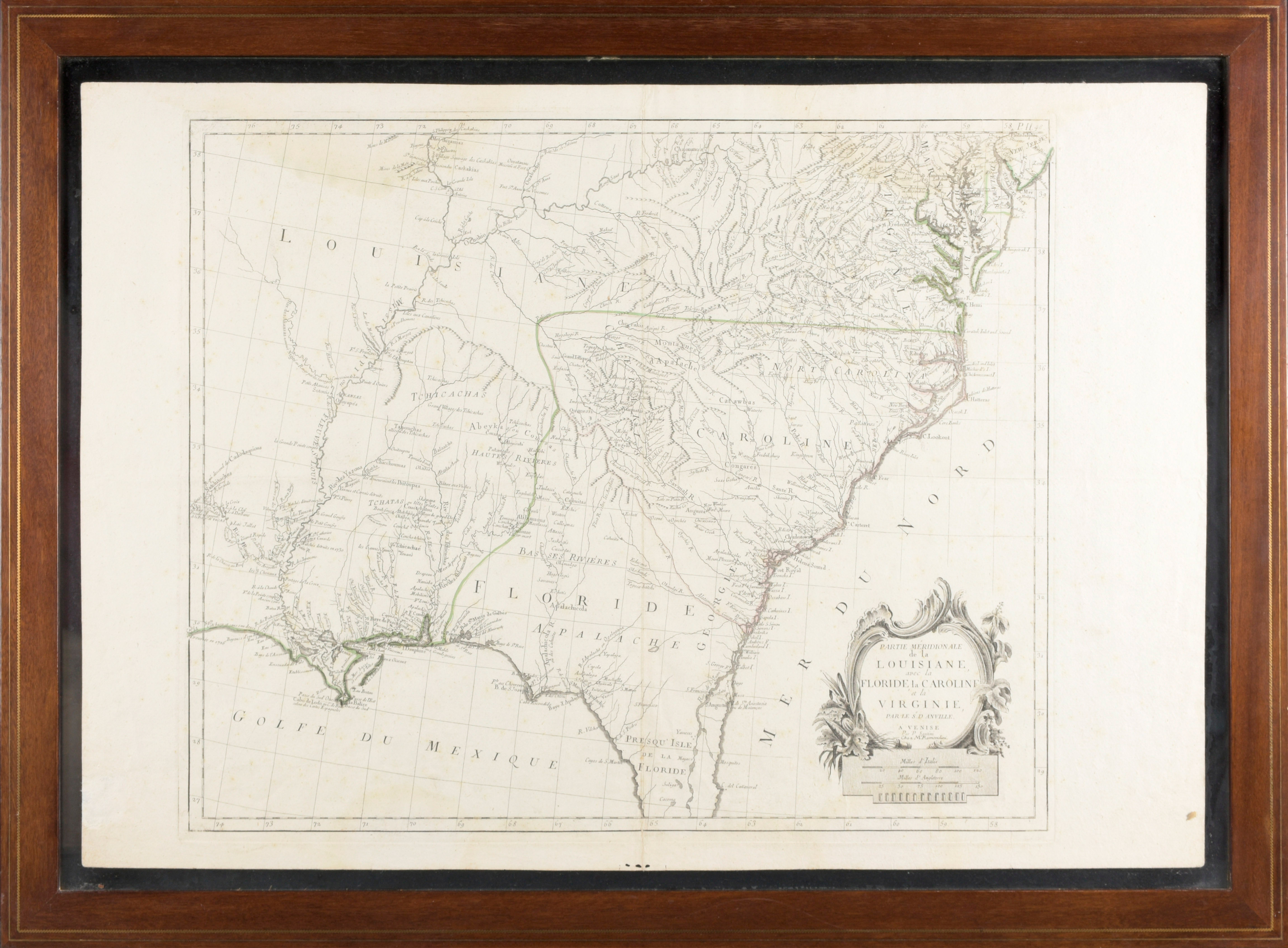
Partie Meridionale de la Louisiane, avec la Floride, la Caroline et la Virginie, par le Sr. d Anville, 1776