IMPORTANT: Accept cookies to place a bid!
Our website requires cookies for the bidding form to work. Without cookies, your cart will remain empty, and you won’t be able to place a bid. Click ‘Accept’ to enable bidding and ensure the website functions optimally. We ask for your consent to use cookies.

I agree to the use of cookies. I don't agree to the use of cookies..
back to overview

ZEILLER, Martin

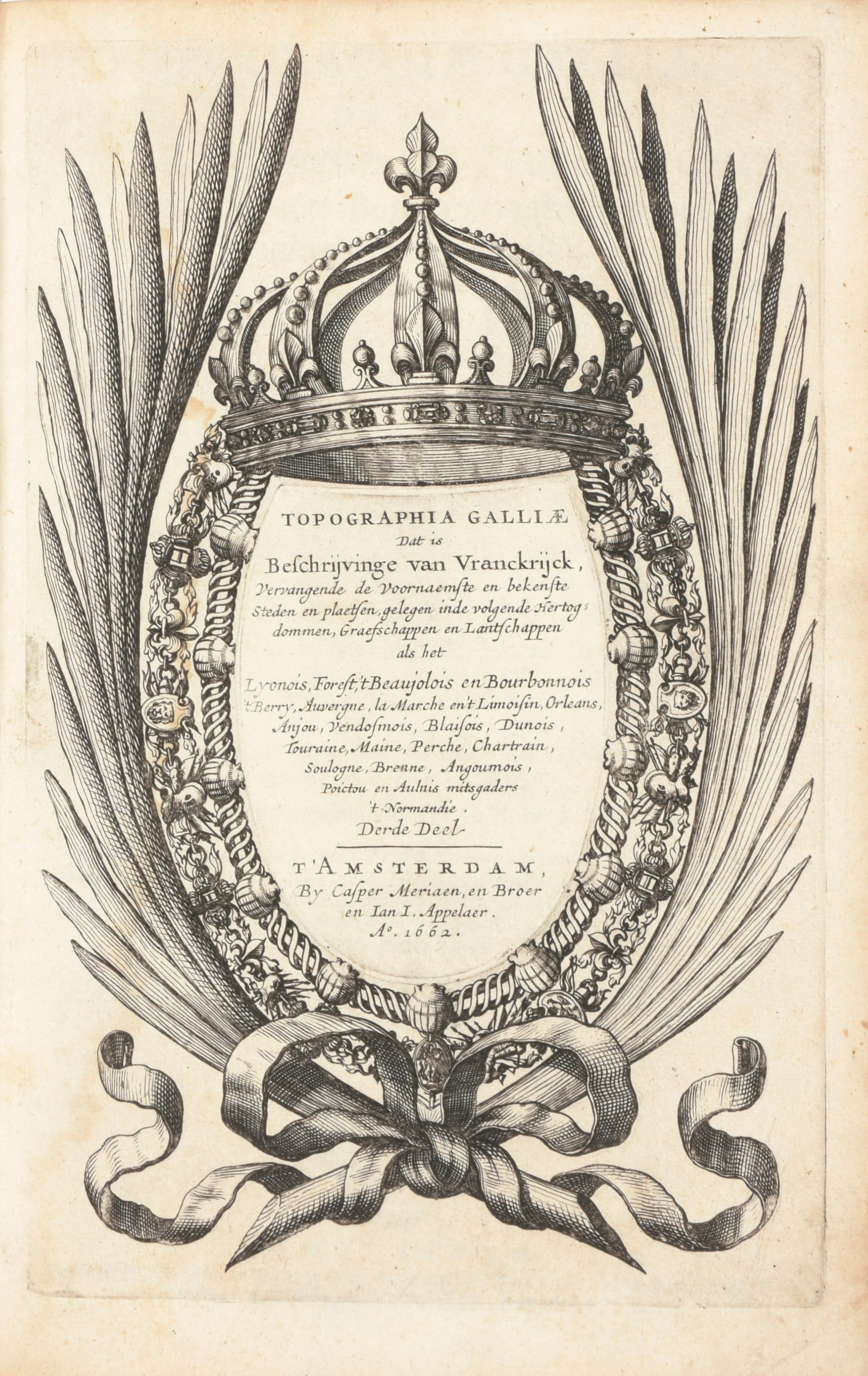
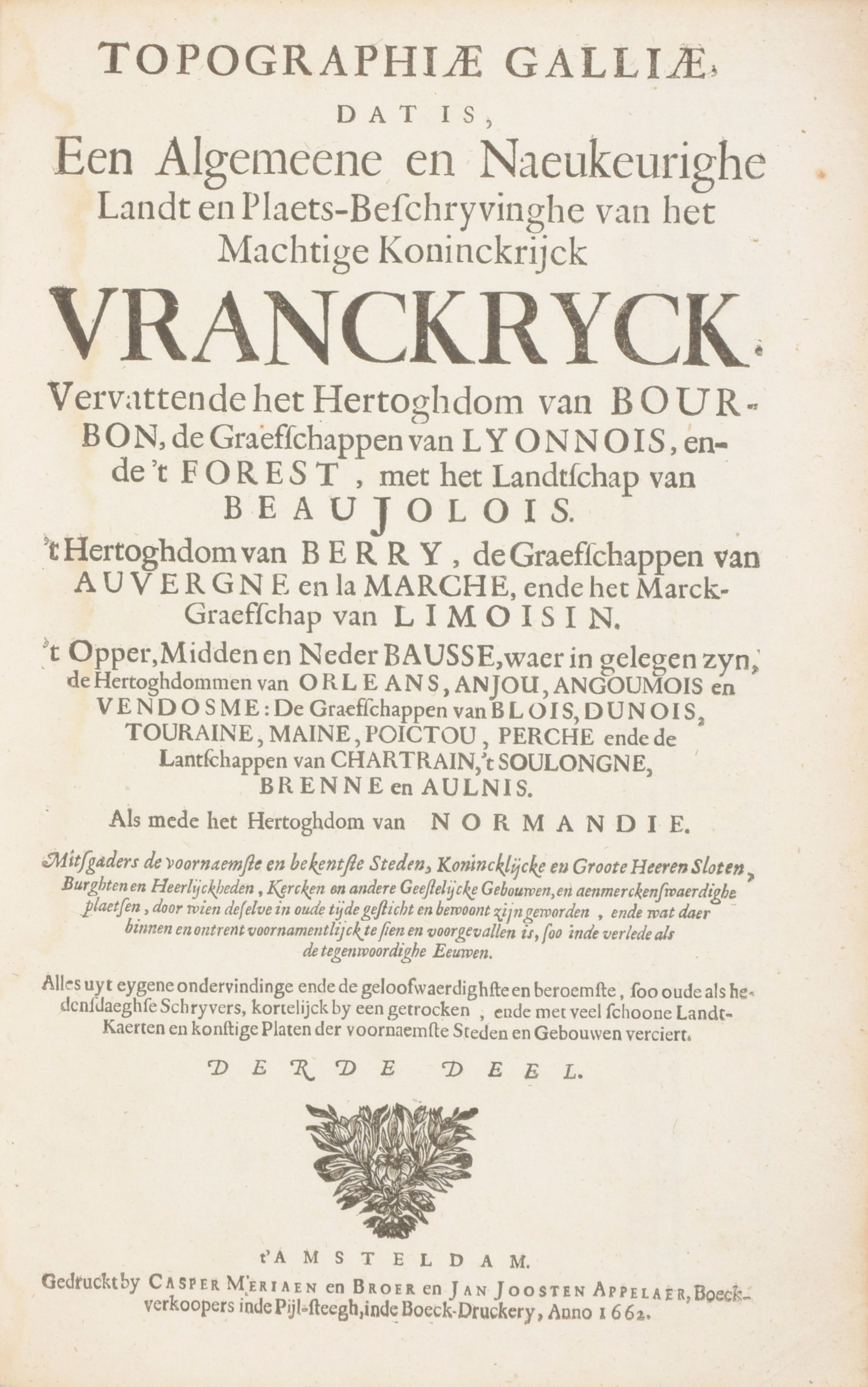
Topographia Galliae, dat is, een Algemeene en naeukeurige lant en plaets-beschrijvinghe van het machtige koninckrijck Vranckryck / Derde Deel / Vierde Deel
Amsterdam
Casper Meriaen, en Broer en Jan Appelaer
1662-1663
€500 - €1.000

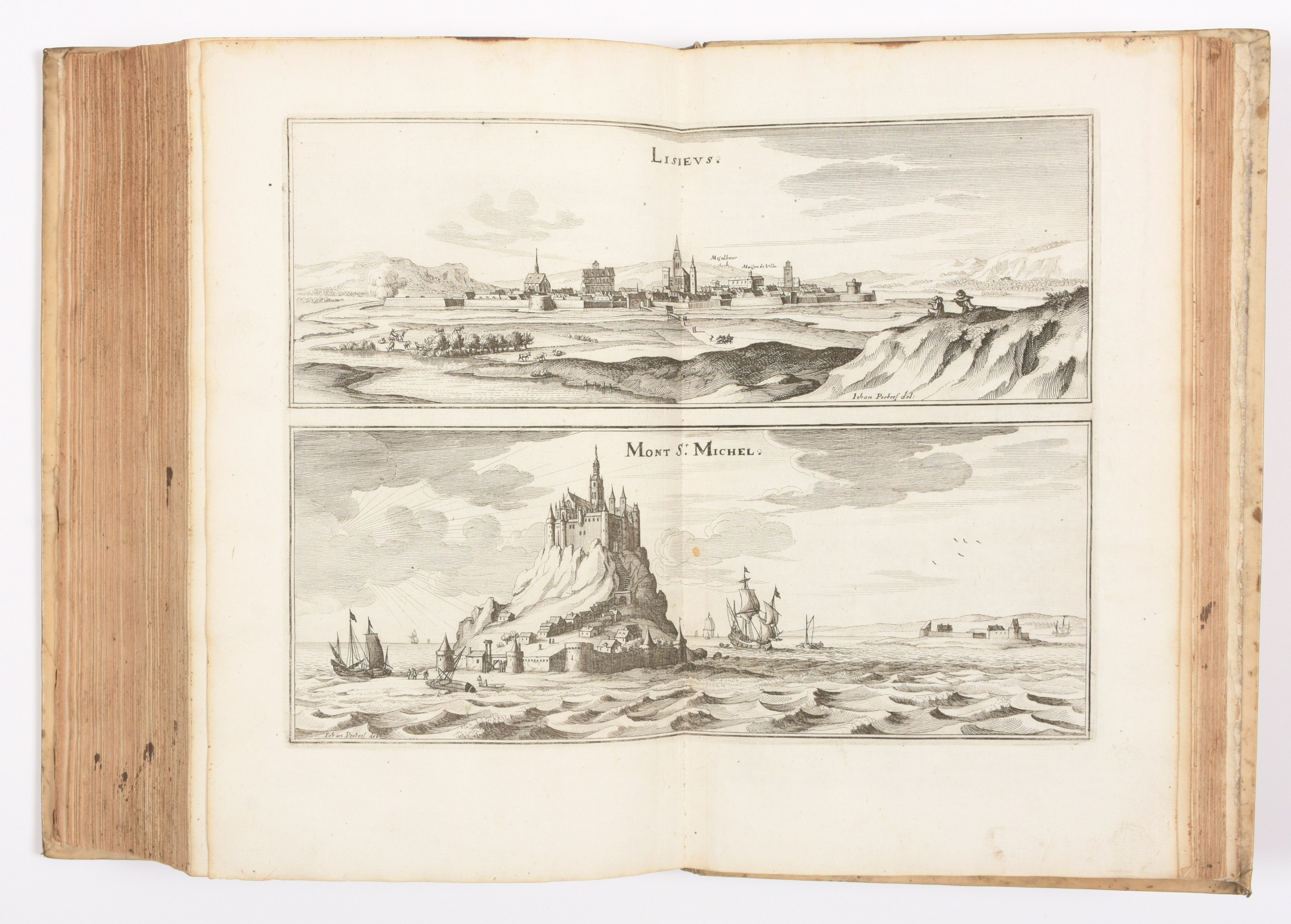
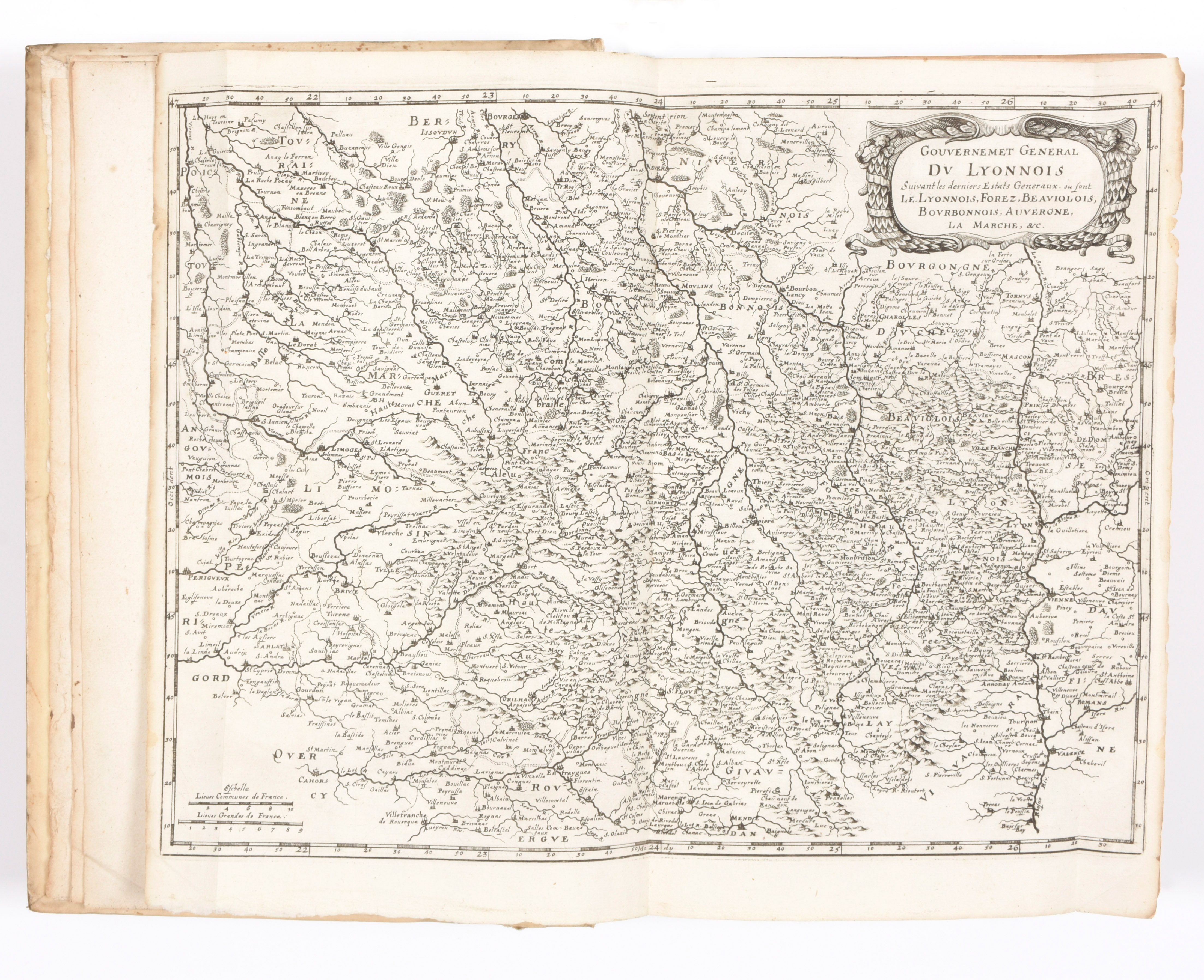
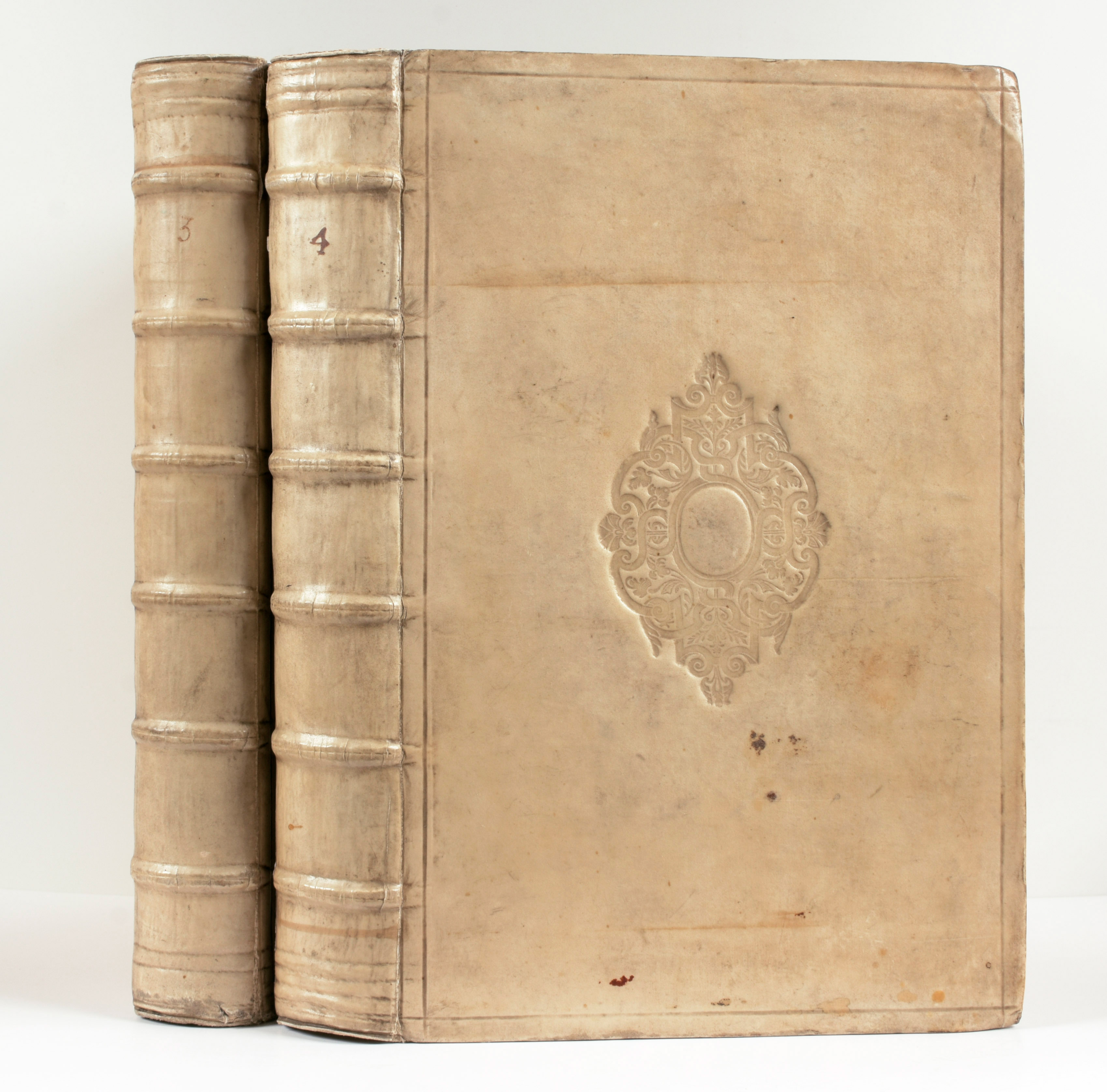
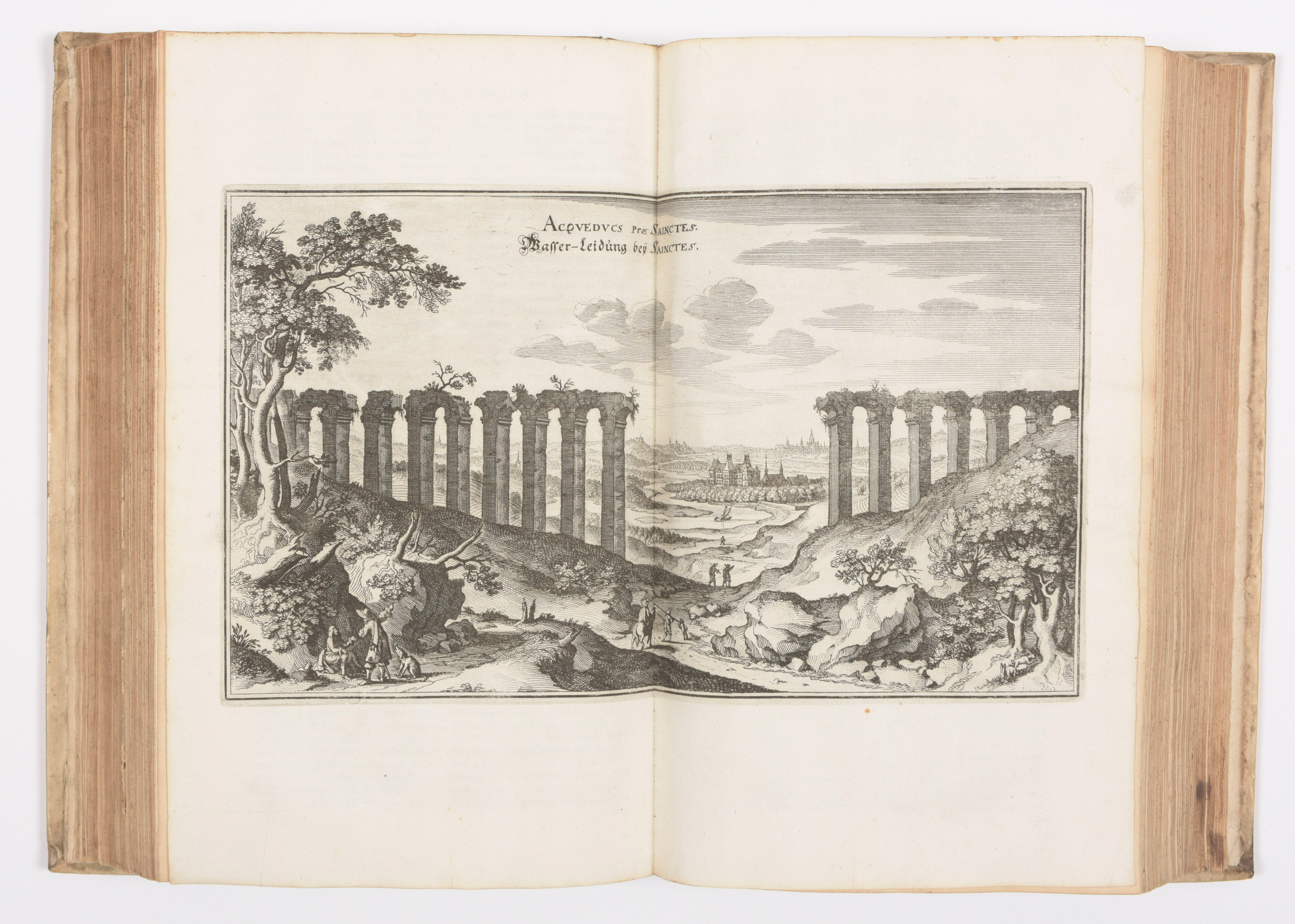
2 (van 4) vol. in-folio, [2]-420-]4], [2]-473-[5] pp met twee gegraveerde titelpagina's en 12 kaarten en 57 (meestal dubbele) gravures (zichten en plannen). Roestvlekken in de tekst, zeer weinig bladen met waterrand. Gebonden in vol perkament uit de tijd, versierd met blindstempeling

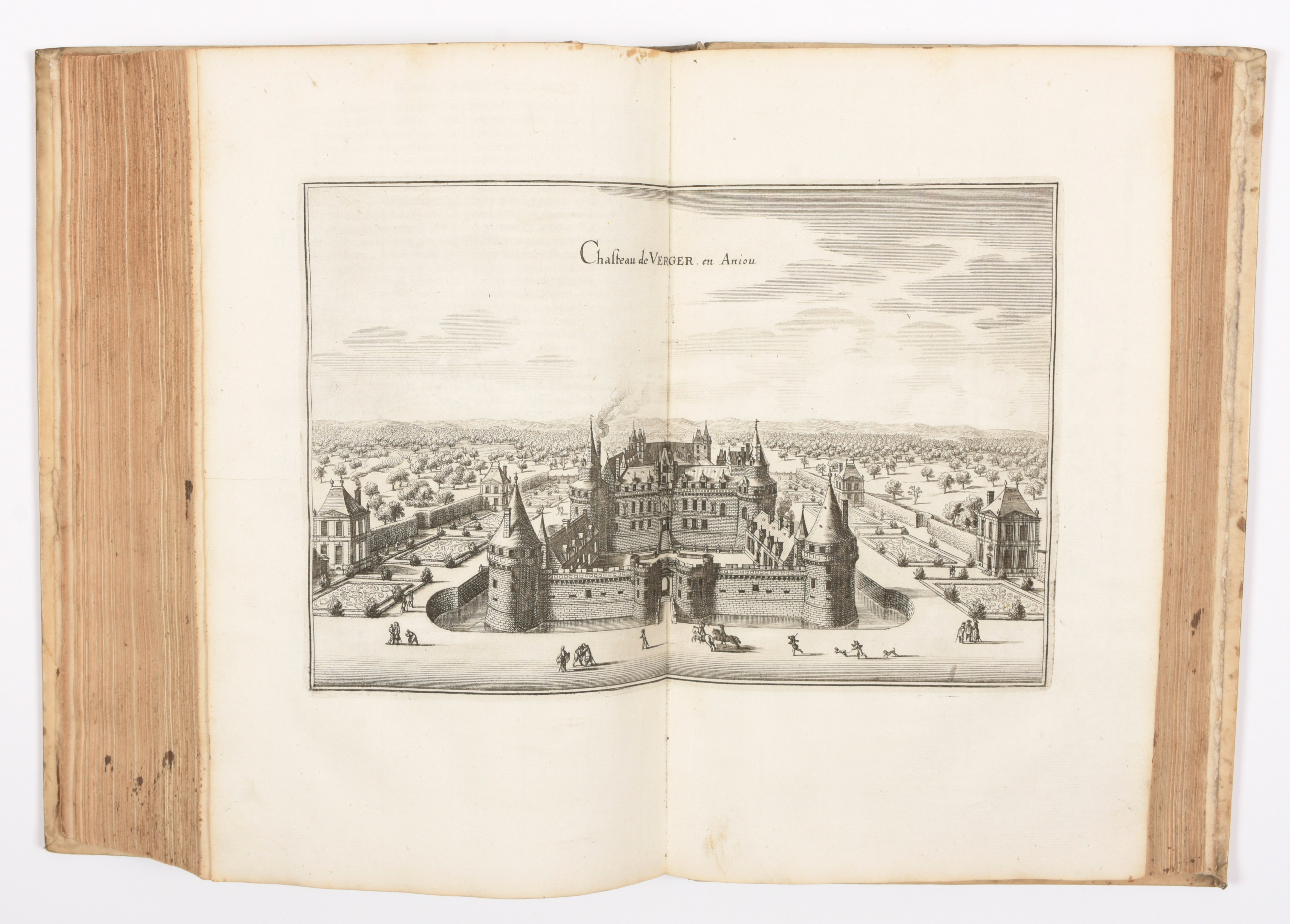
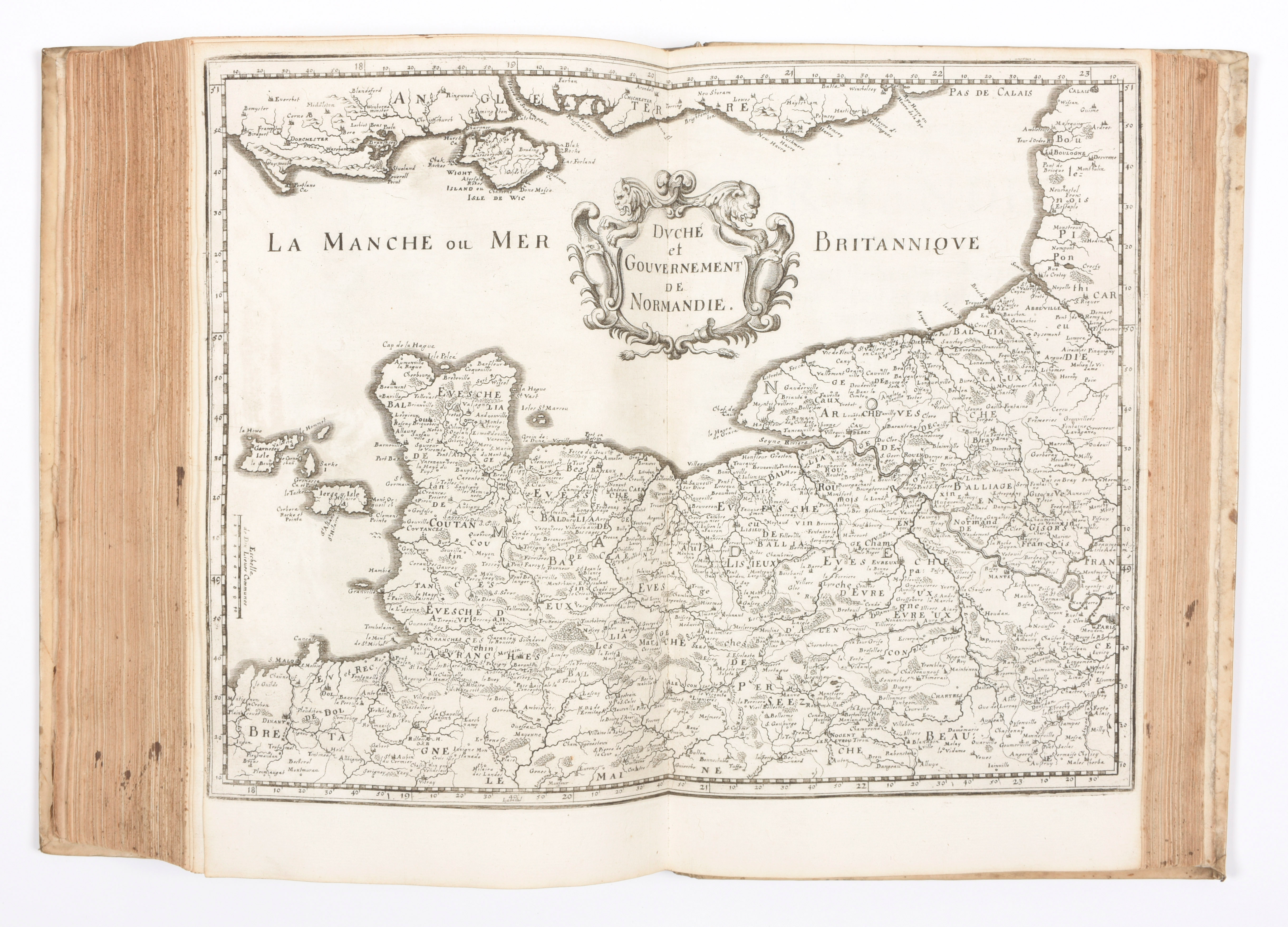
New, revised and enlarged ed. (1st ed. in German 1655-1661), profusely illustrated by Matthaus MERIAN : 2 different ill. title-pages, 12 maps and 57 pl., most double-paged, some folding, some representing more than 1 view. Magnificent iconography of the 17th c. France, picturing perspective or bird's eye views of sites, cities, castles, abbeys, churches, fortifications... Containing beautiful views of Bordeaux, Lyon, Rouen, Metz, Reims, Troyes, Dijon, Nevers, Marseille... Splendide iconographie de la France du XVIIe s., comprenant 2 titres illustrés, 12 cartes (dépliantes), 57 planches, figurant des plans et de très belles vues. Réf. Schurchhard 71-84 (German ed.).