Our website uses cookies to improve your browsing experience. In order to use this website optimally, we ask you to agree to our use of cookies.

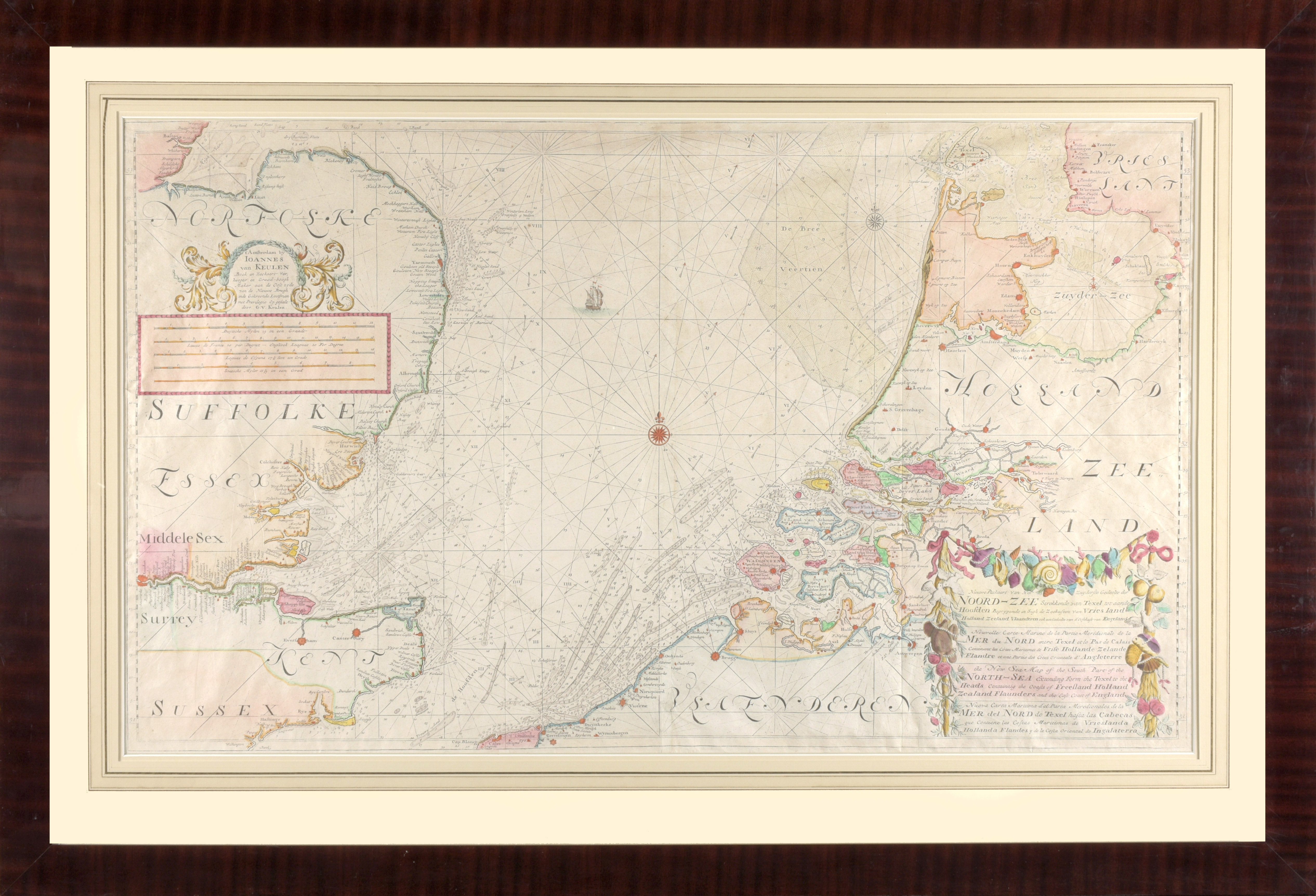
Nieuwe paskaart van het Zuyderste gedeelte der Noord-Zee strekkende van Texel tot aande Hoofden Begrypende in sigh de Zeekusten van Vriesland, Holland, Zeeland, Vlaanderen ook een gedeelte van d'Oostkust van England