Our website uses cookies to improve your browsing experience. In order to use this website optimally, we ask you to agree to our use of cookies.
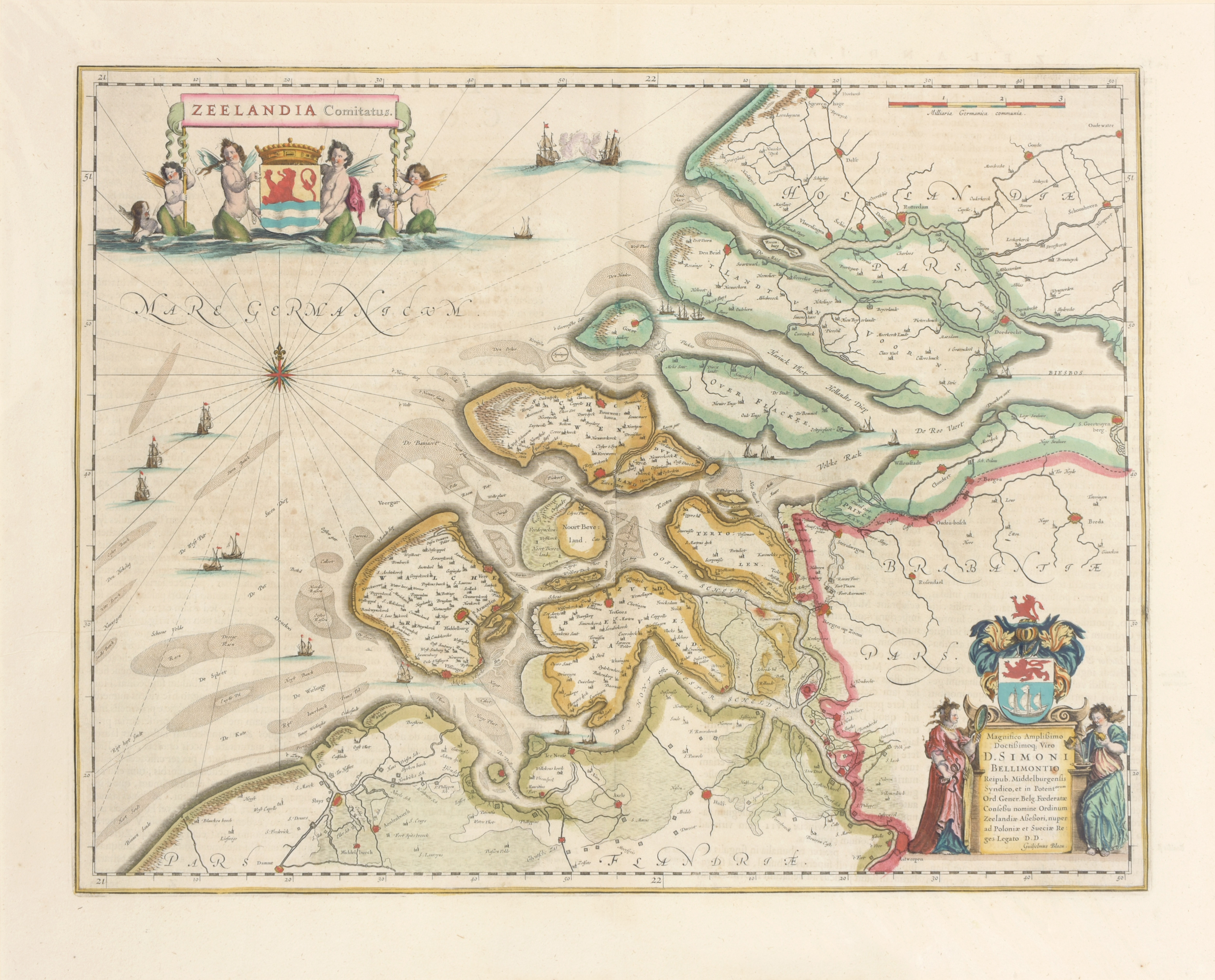
Zeelandia Comitatus

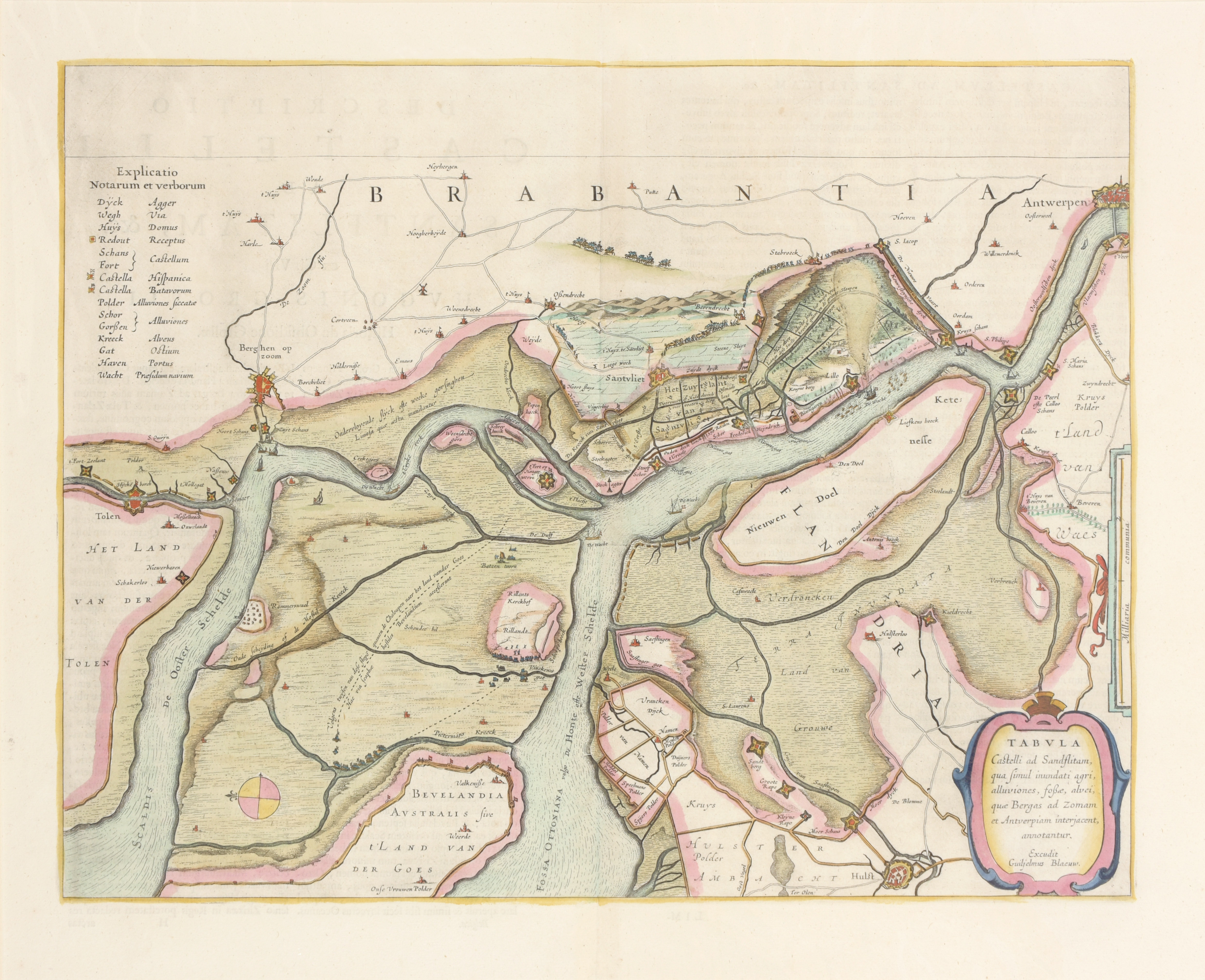
Handcol. engr. map with 2 nice cartouches, 38,5 x 50 cm., Amst., Blaeu, ca.1640. Passe-partout. We add: 'Tabula castelli ad Sandflitam' handcol. engr. map (38.5 x 50.5 cm) from same atlas (2)
Blonk-van der Wijst 36.1; Van der Krogt/ Koeman I, 3600:1B.1