IMPORTANT: Acceptez les cookies pour pouvoir enchérir !
Notre site web a besoin de cookies pour que le formulaire d'enchères fonctionne. Sans cookies, votre panier restera vide et vous ne pourrez pas enchérir. Cliquez sur « Accepter » pour activer les enchères et assurer le bon fonctionnement du site. Nous vous demandons votre consentement pour utiliser les cookies.

J'accepte l'utilisation des cookies Je n'accepte pas.
retour à l'aperçu

[ZEEKAARTEN]

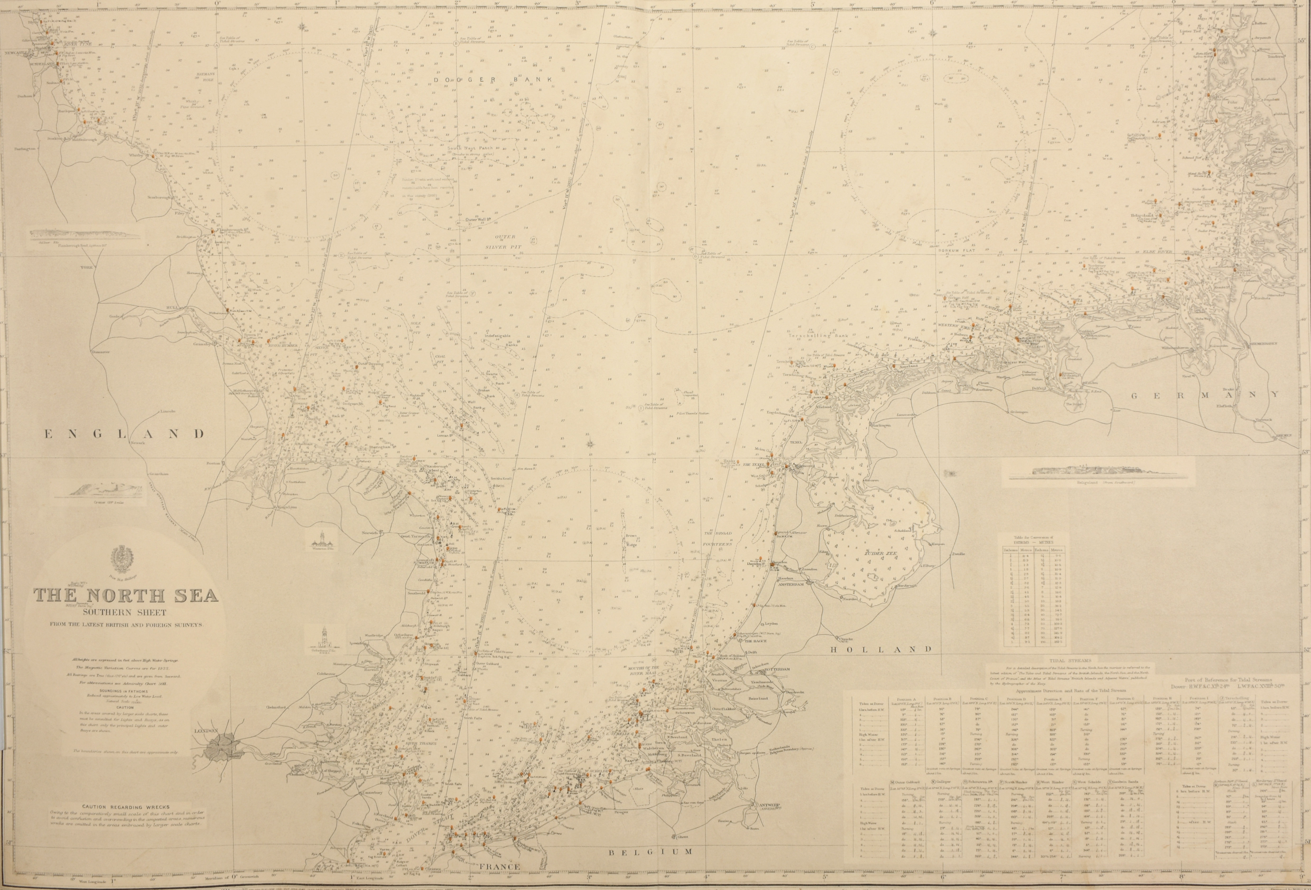
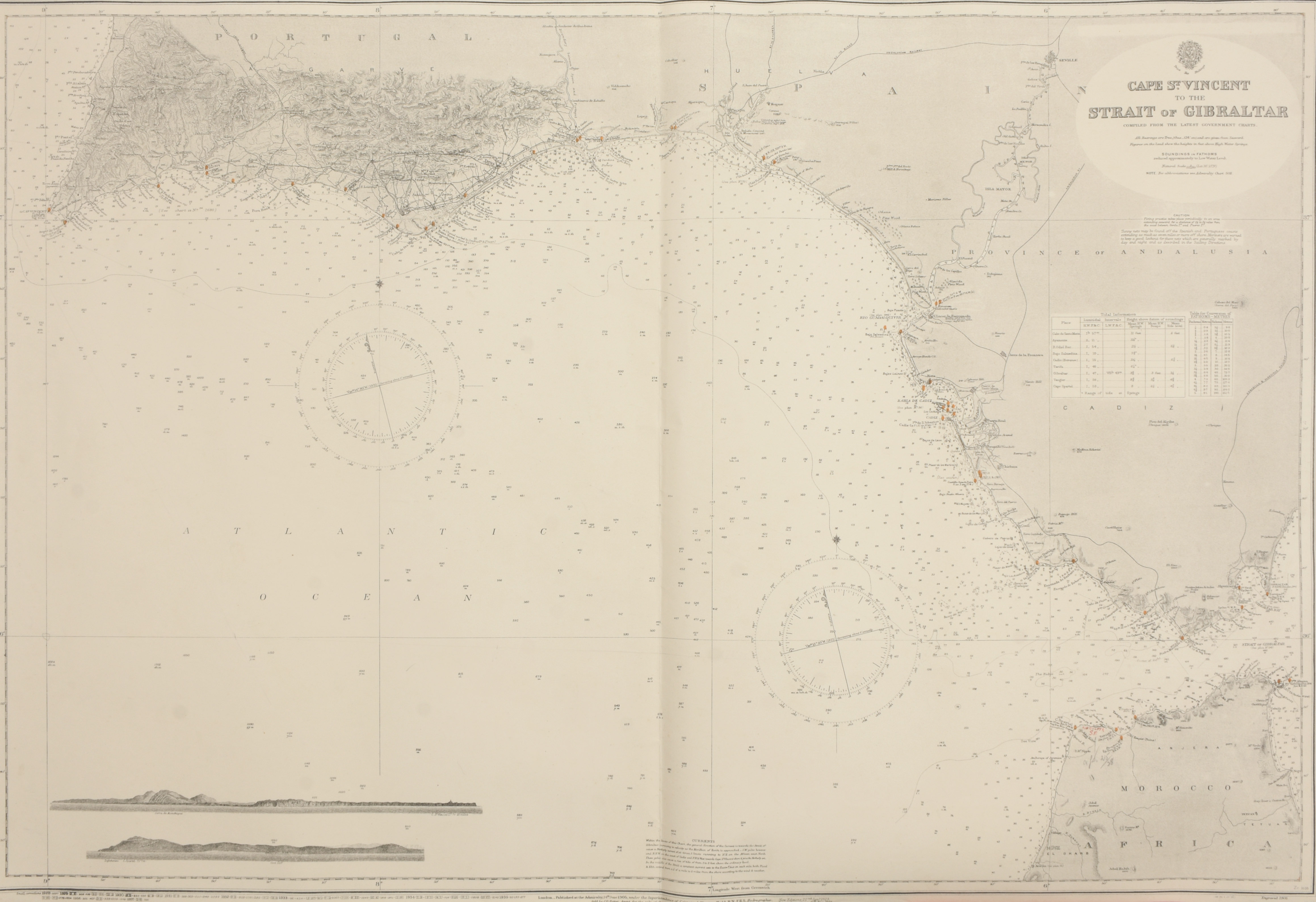
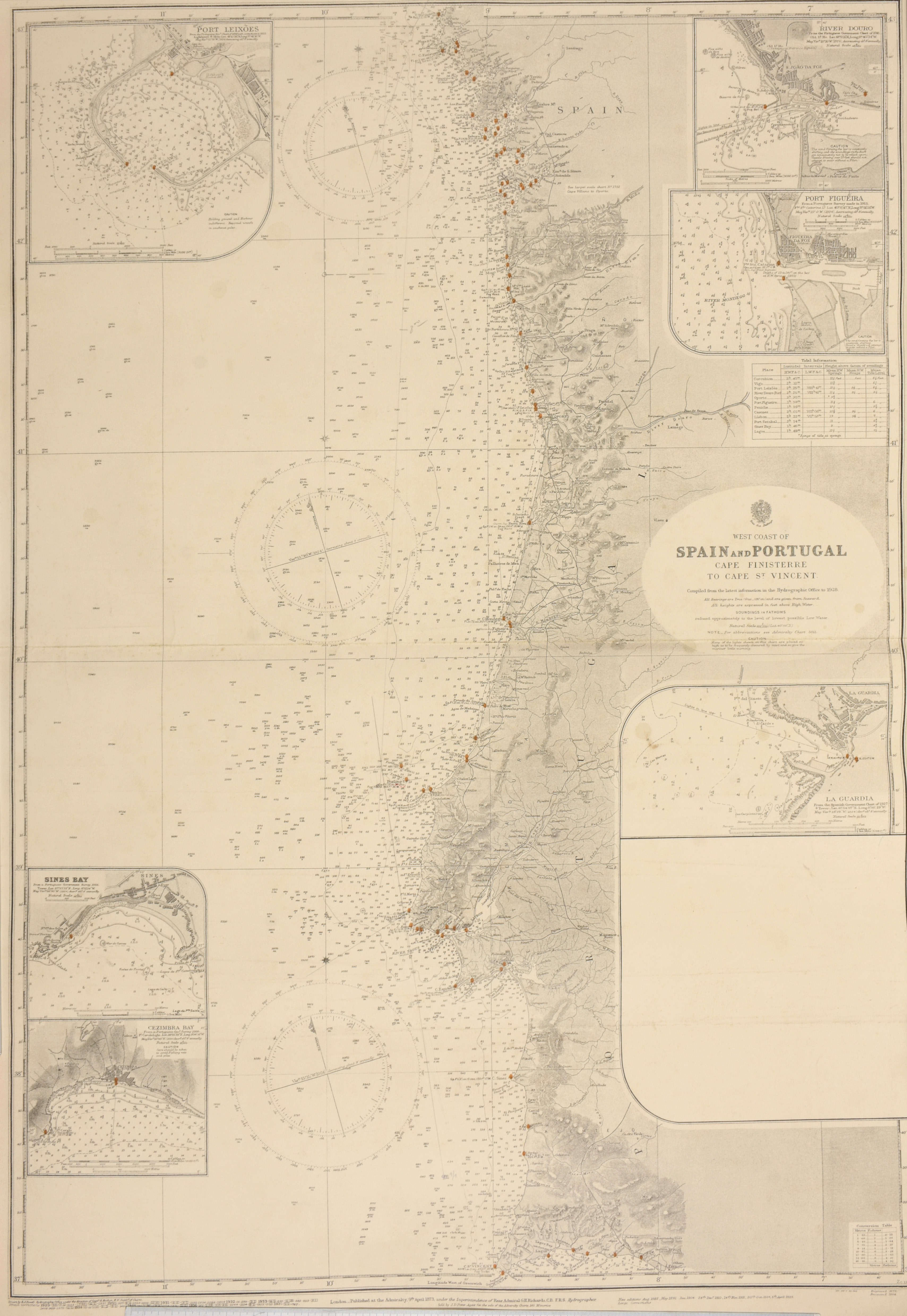
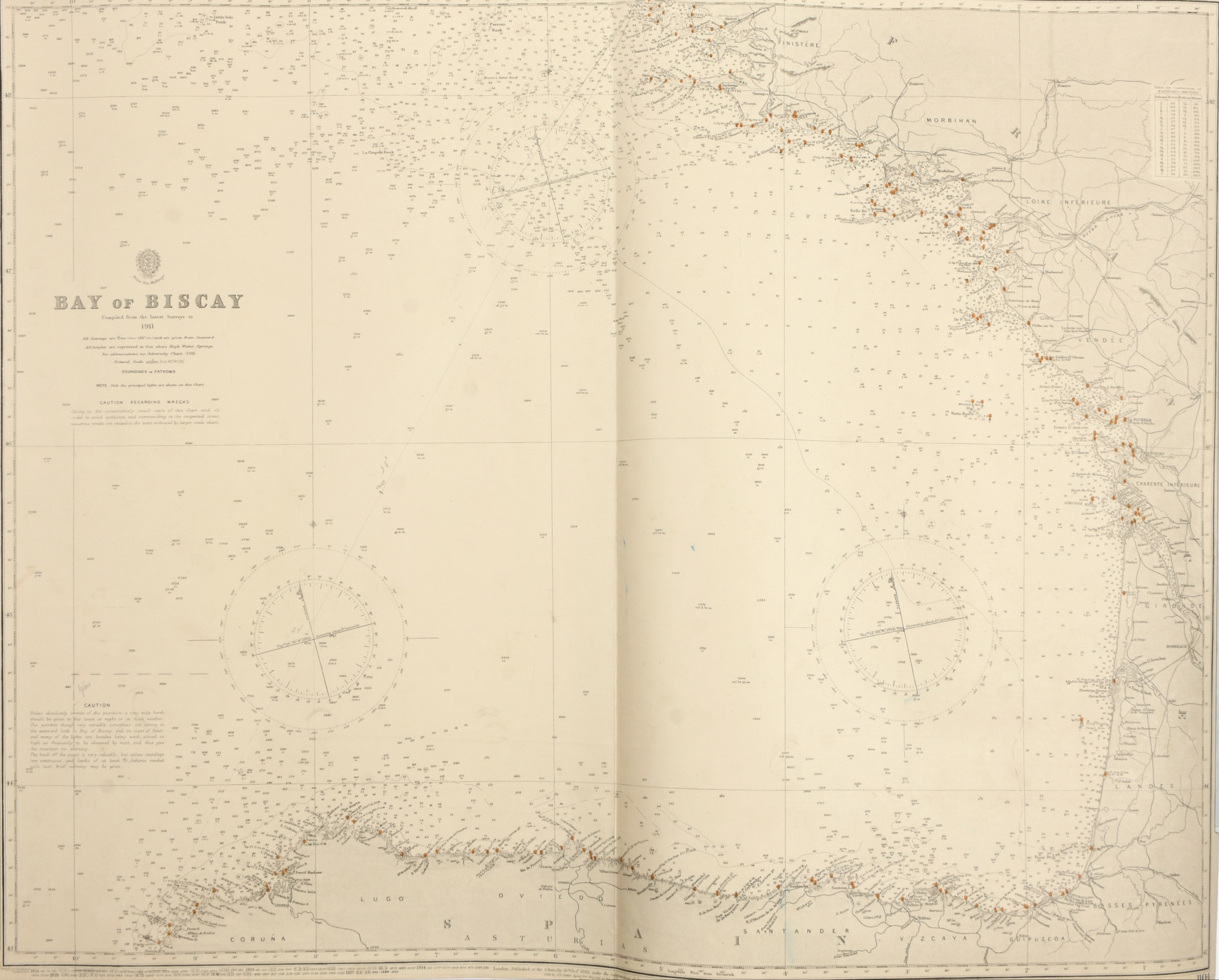
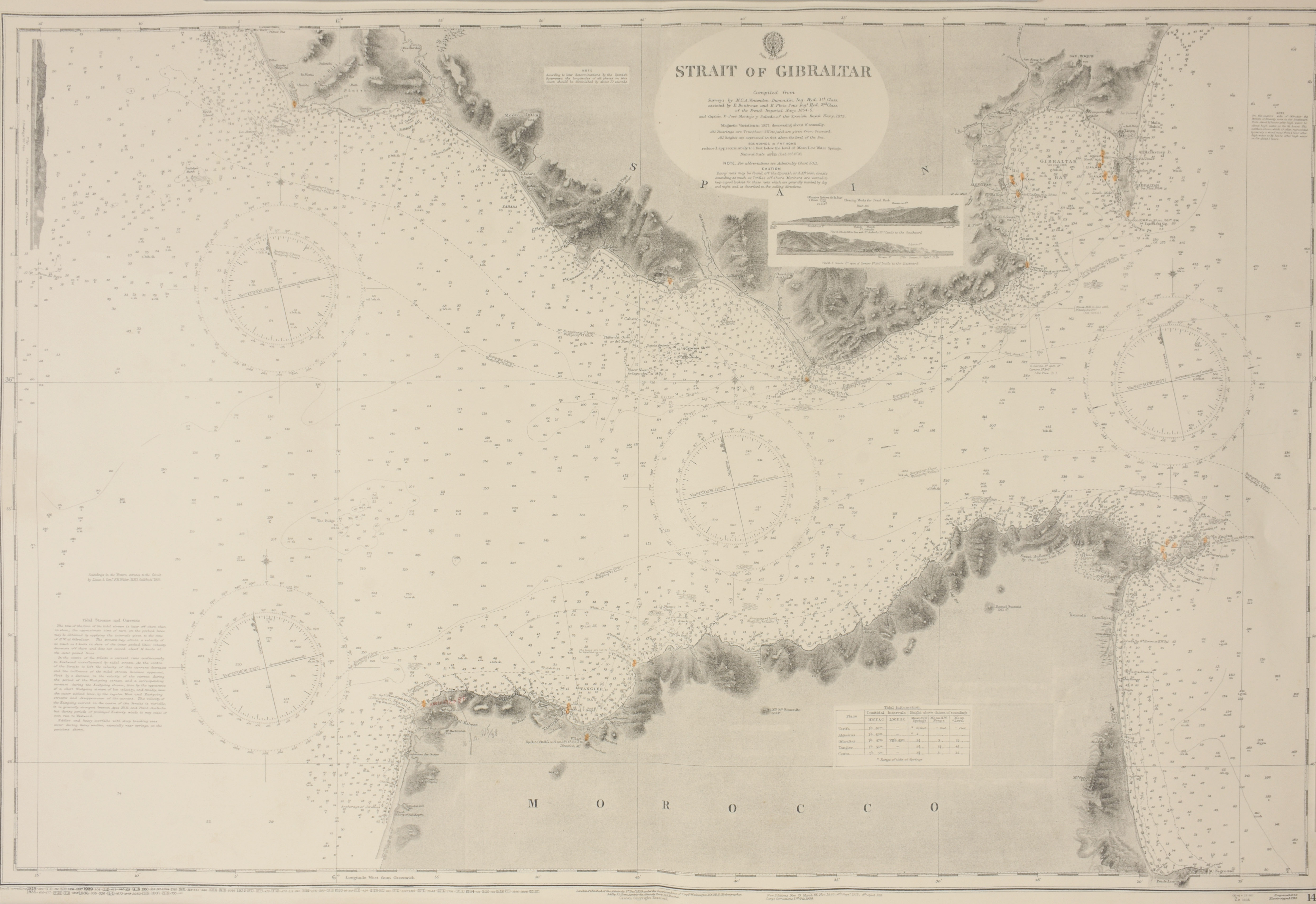
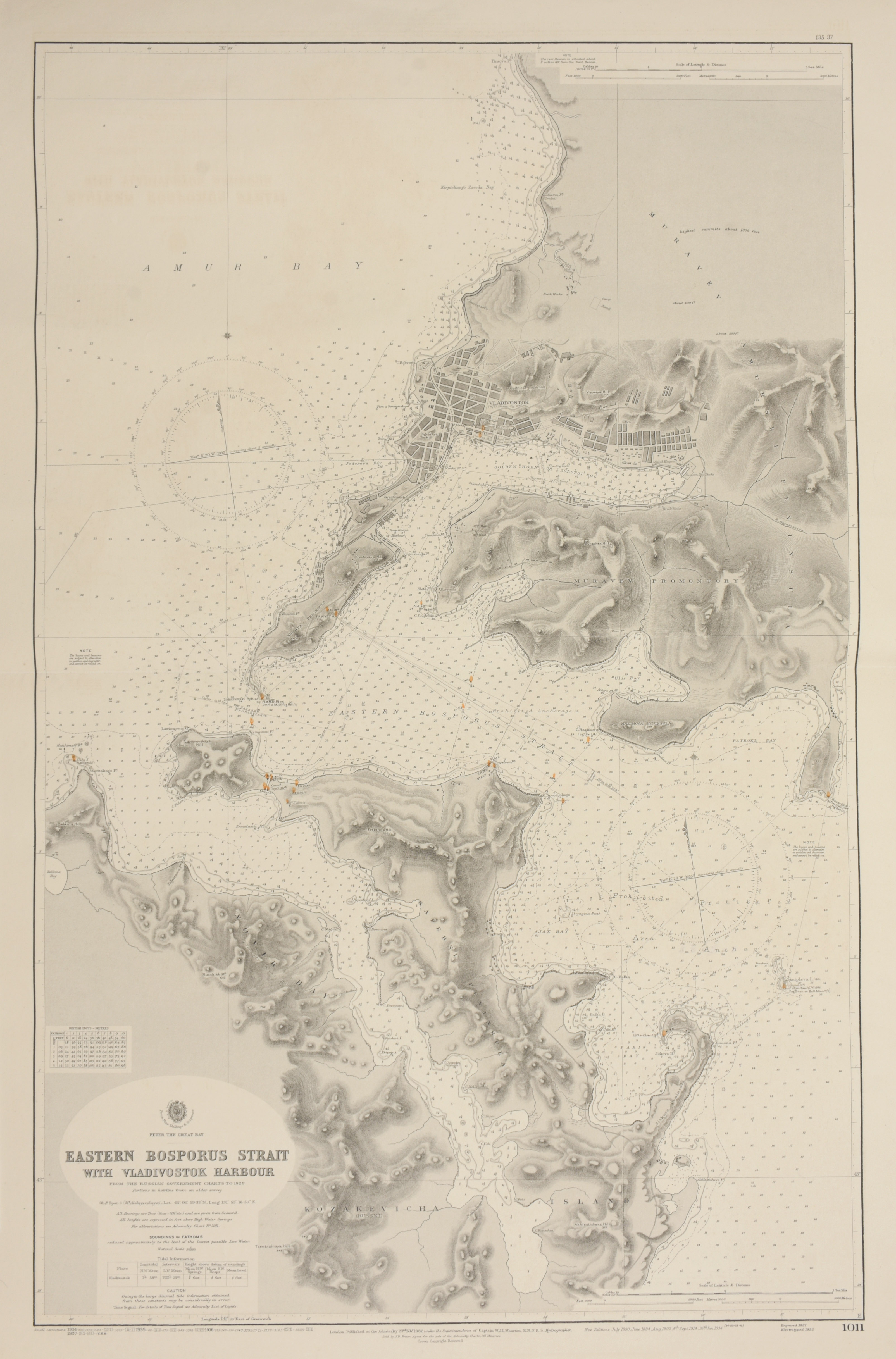
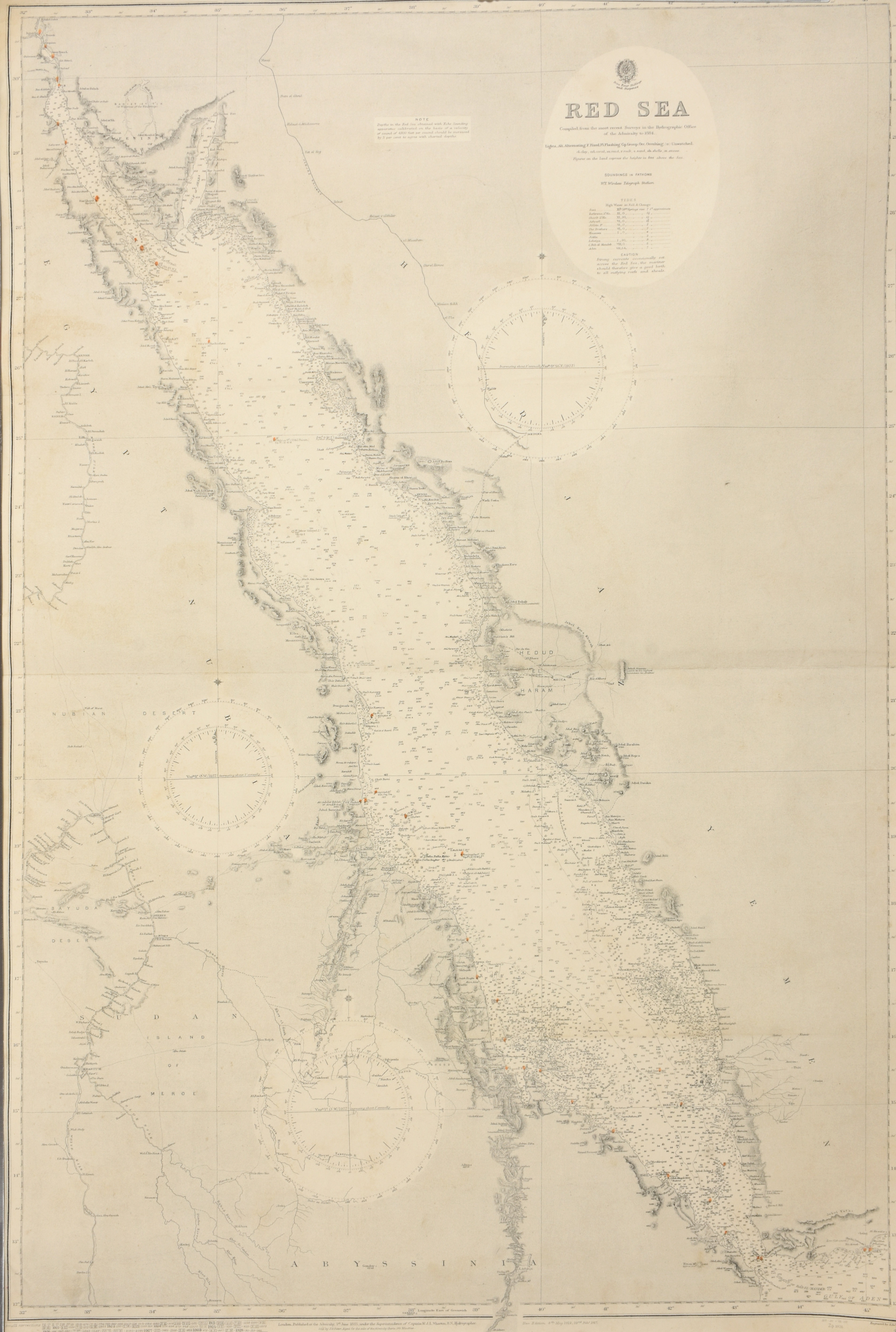
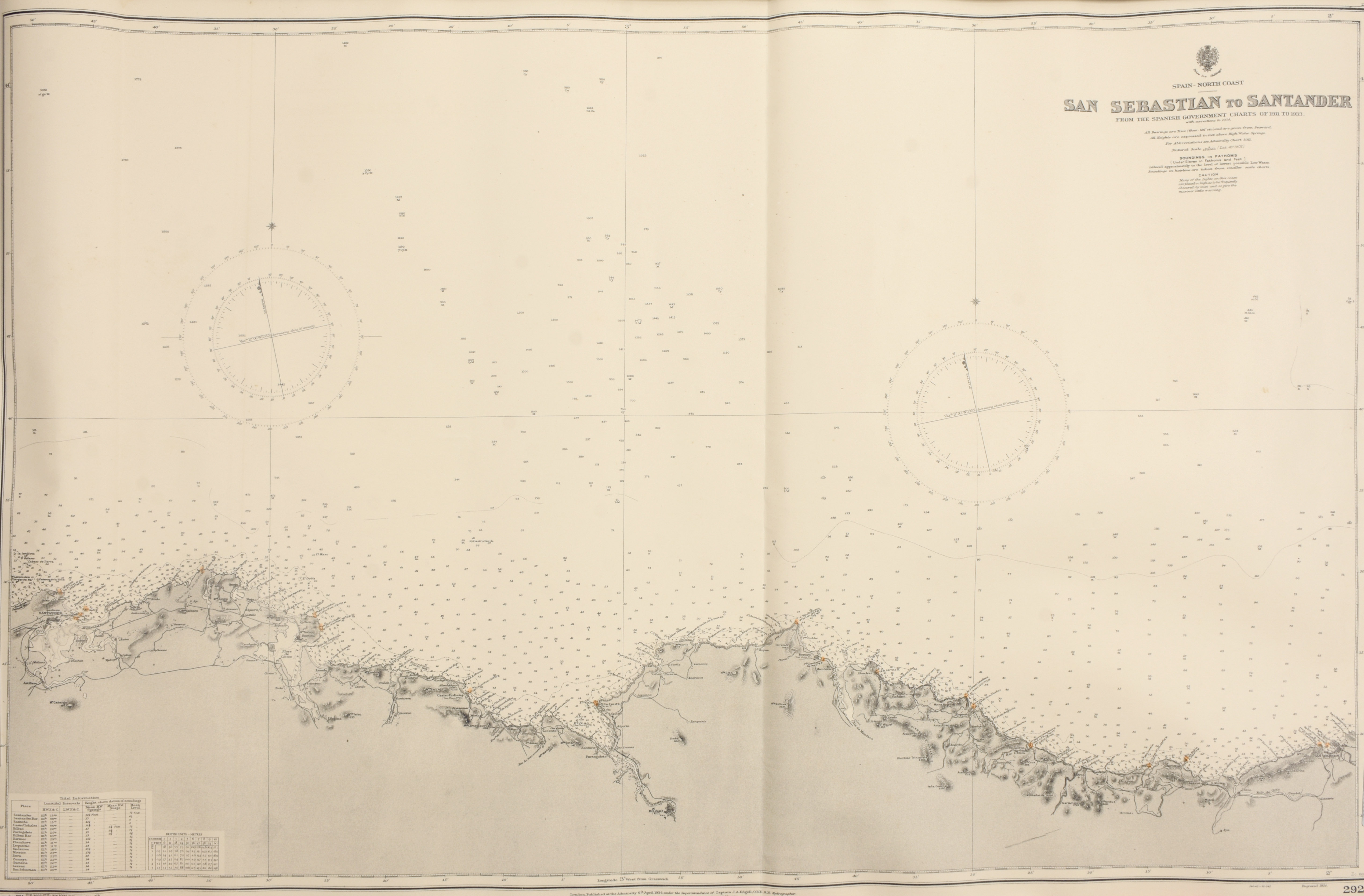
Lot of 8 nautical charts of Spain, Gibraltar, Bosporus, North Sea and Red Sea
London
British Admiralty
1937
€120 - €180

Engraved coastal charts, 102,5 x 70 cm each: The North Sea, Southern Chart (number 2182 A below right) + West Coast of Spain and Portugal, Cape Finistere to Cape St. Vincent. (number 87 below right) + Bay of Biscay (number 1104 below right) + Spain - North Coast San Sebastian to Santander (number 2925 below right) + Cape St. Vincent to the Strait of Gibraltar (number 92 below right).
+ Strait of Gibraltar. (number 142 below right) + Red Sea (number 2523 below right) + Eastern Bosporus Strait with Vladivostok Harbour, from the Russian Government charts to 1929 (number 1011 below right)