IMPORTANT: Accept cookies to place a bid!
Our website requires cookies for the bidding form to work. Without cookies, your cart will remain empty, and you won’t be able to place a bid. Click ‘Accept’ to enable bidding and ensure the website functions optimally. We ask for your consent to use cookies.

I agree to the use of cookies. I don't agree to the use of cookies..
back to overview

[ZEEKAARTEN]

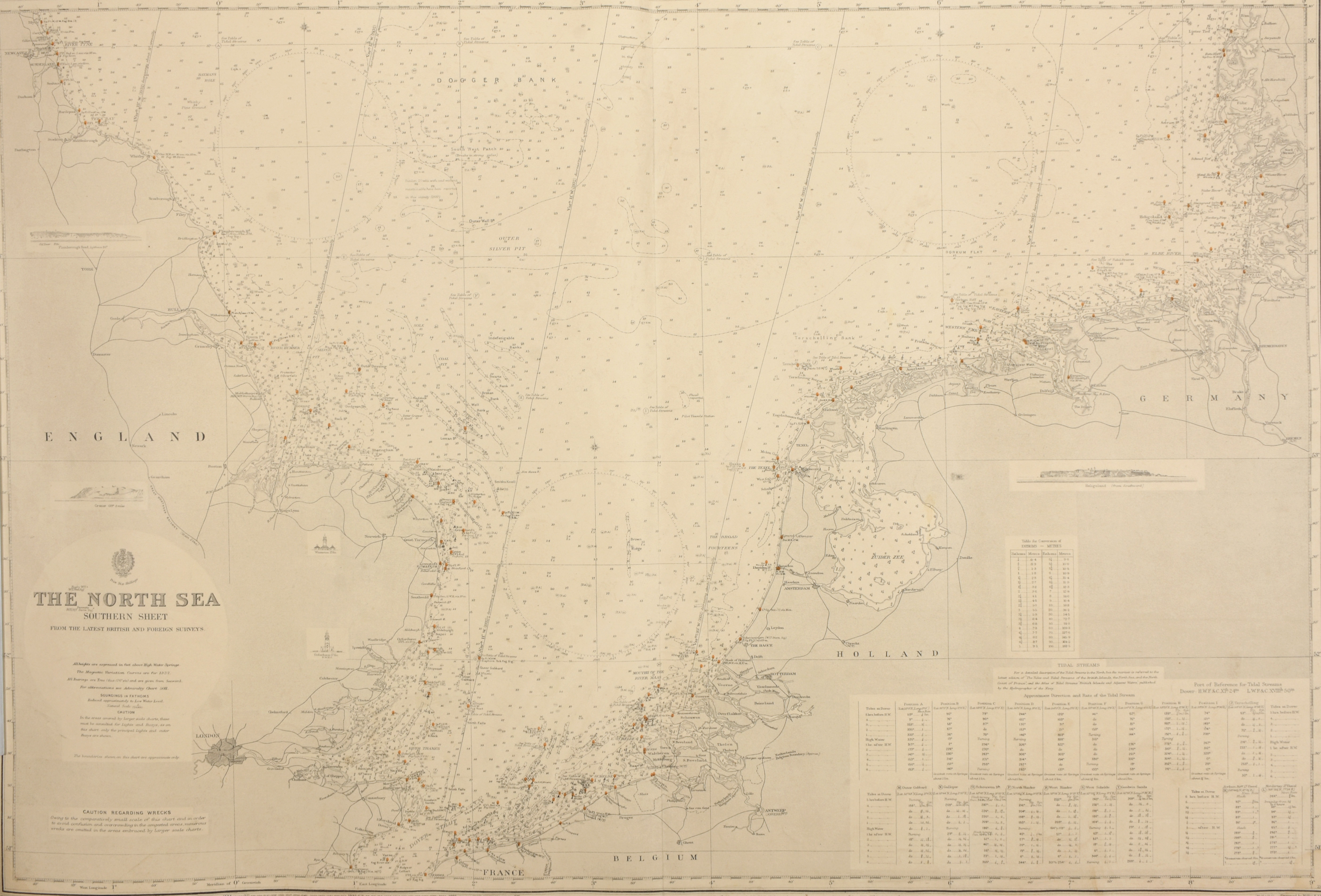
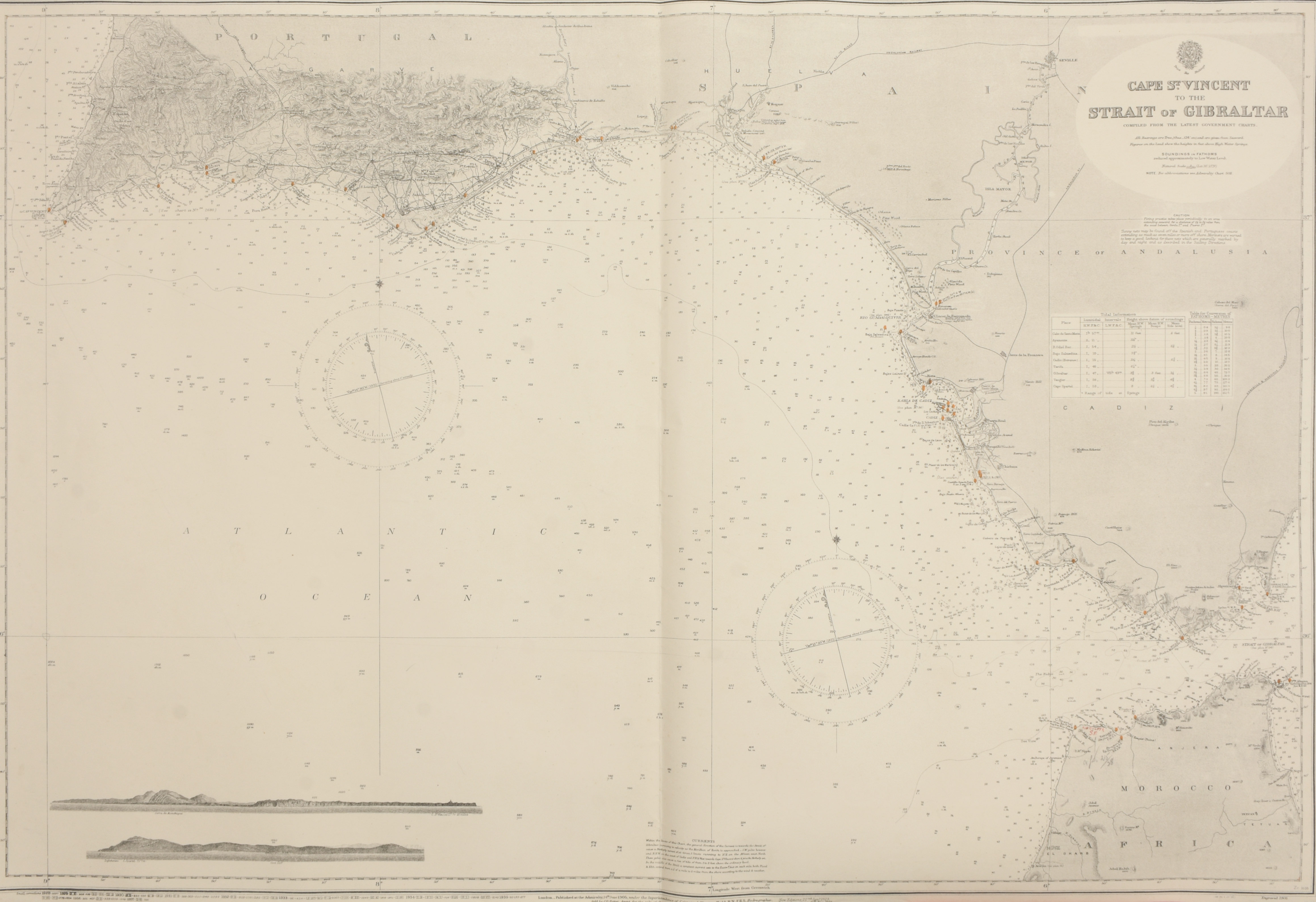
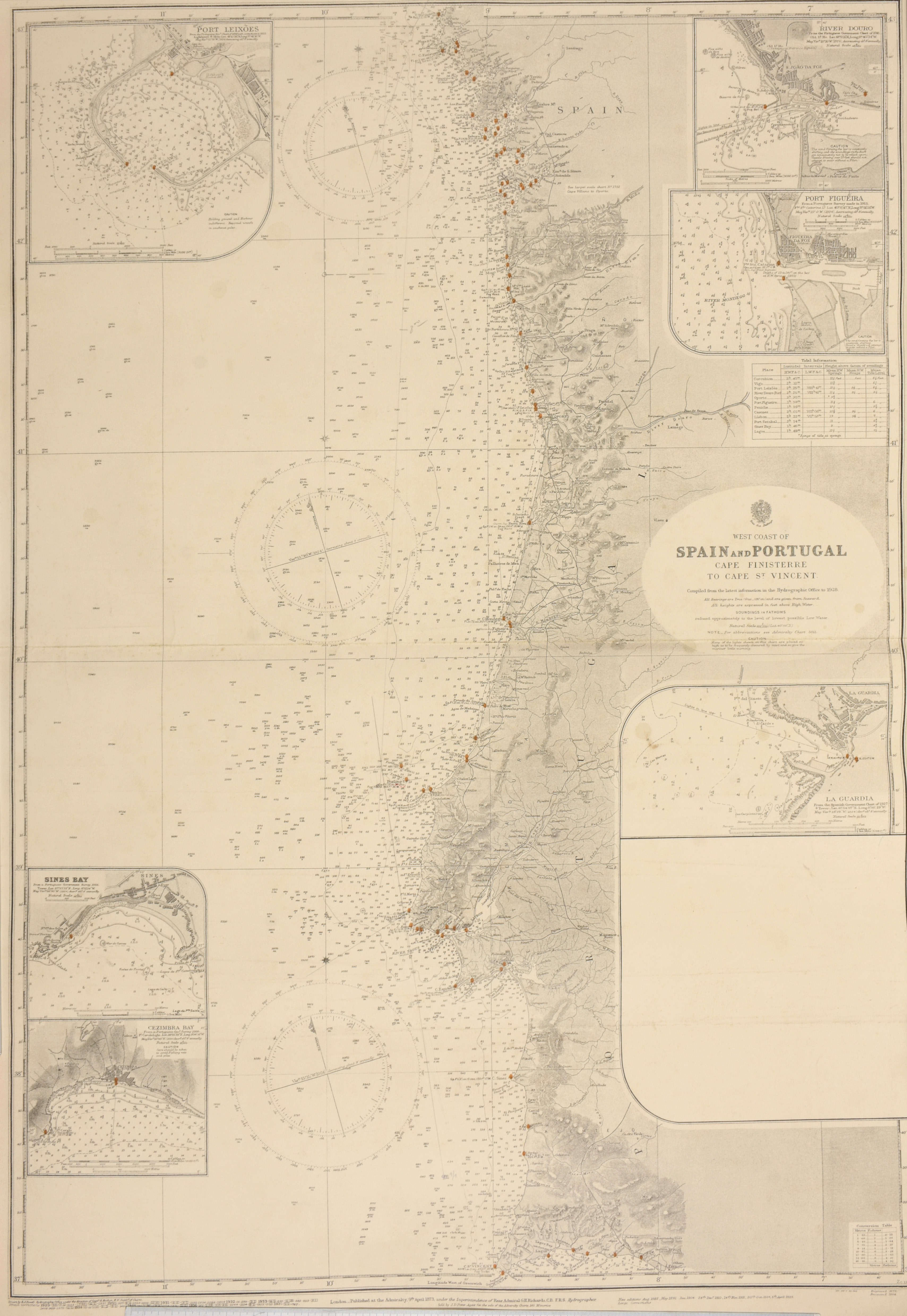
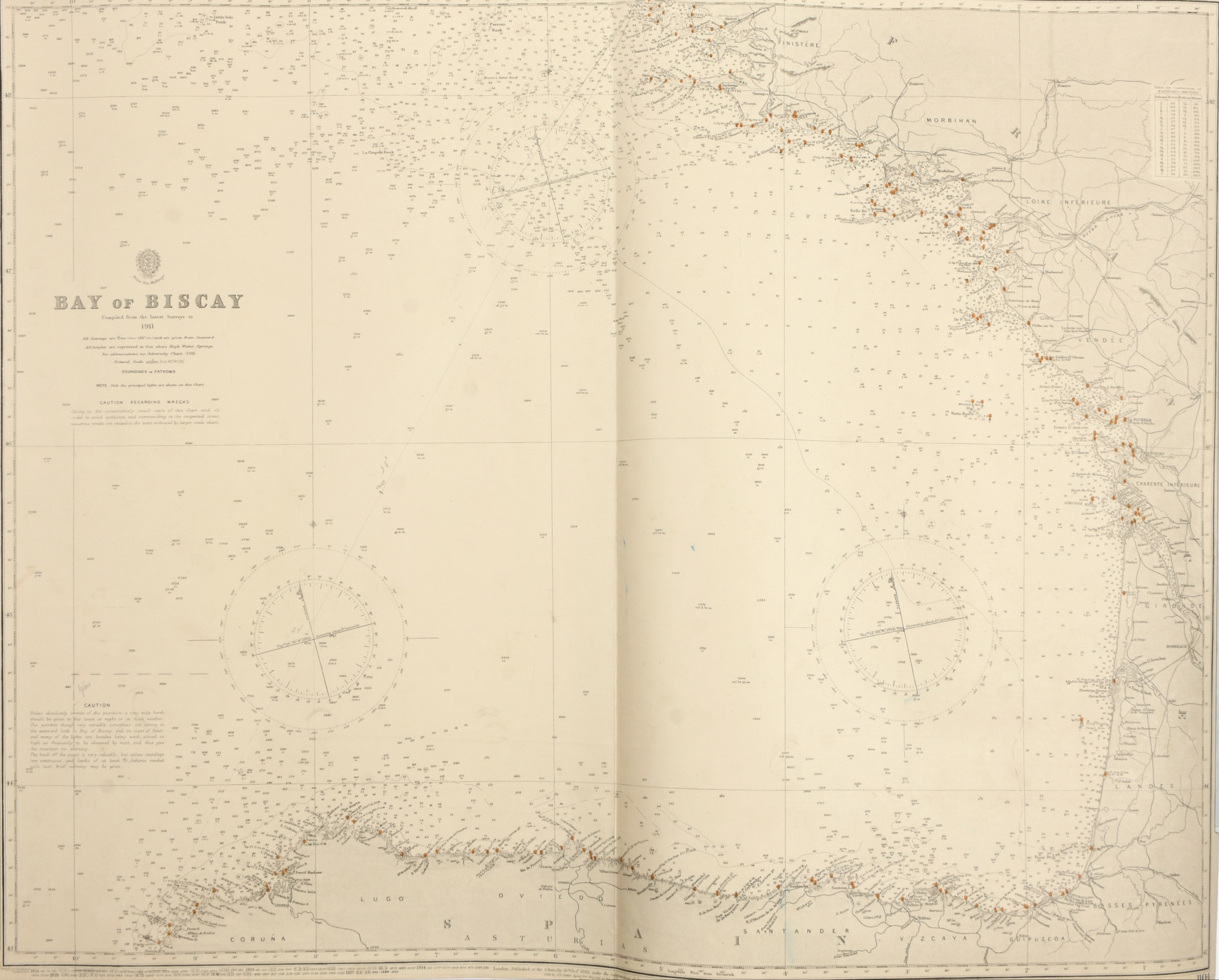
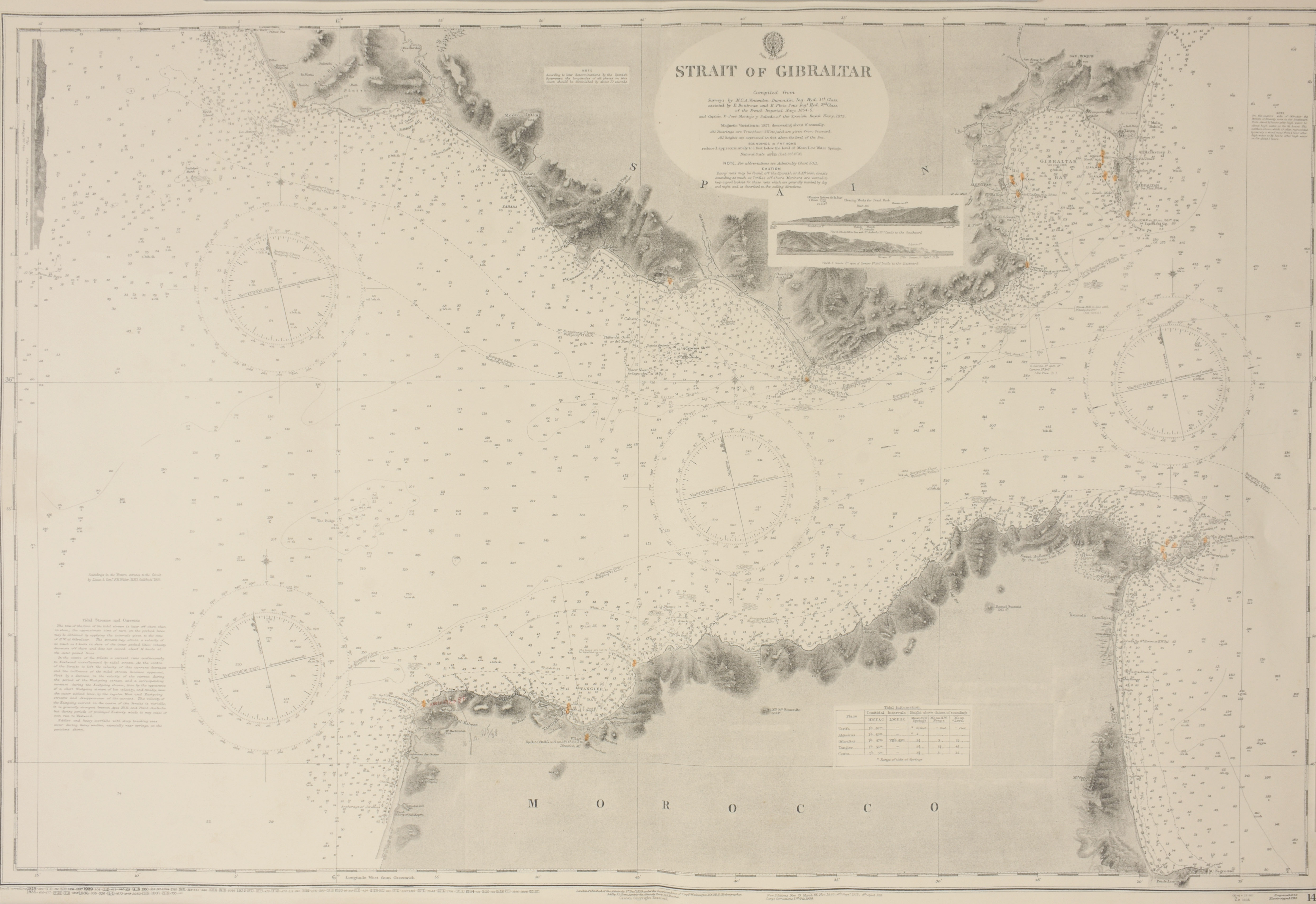
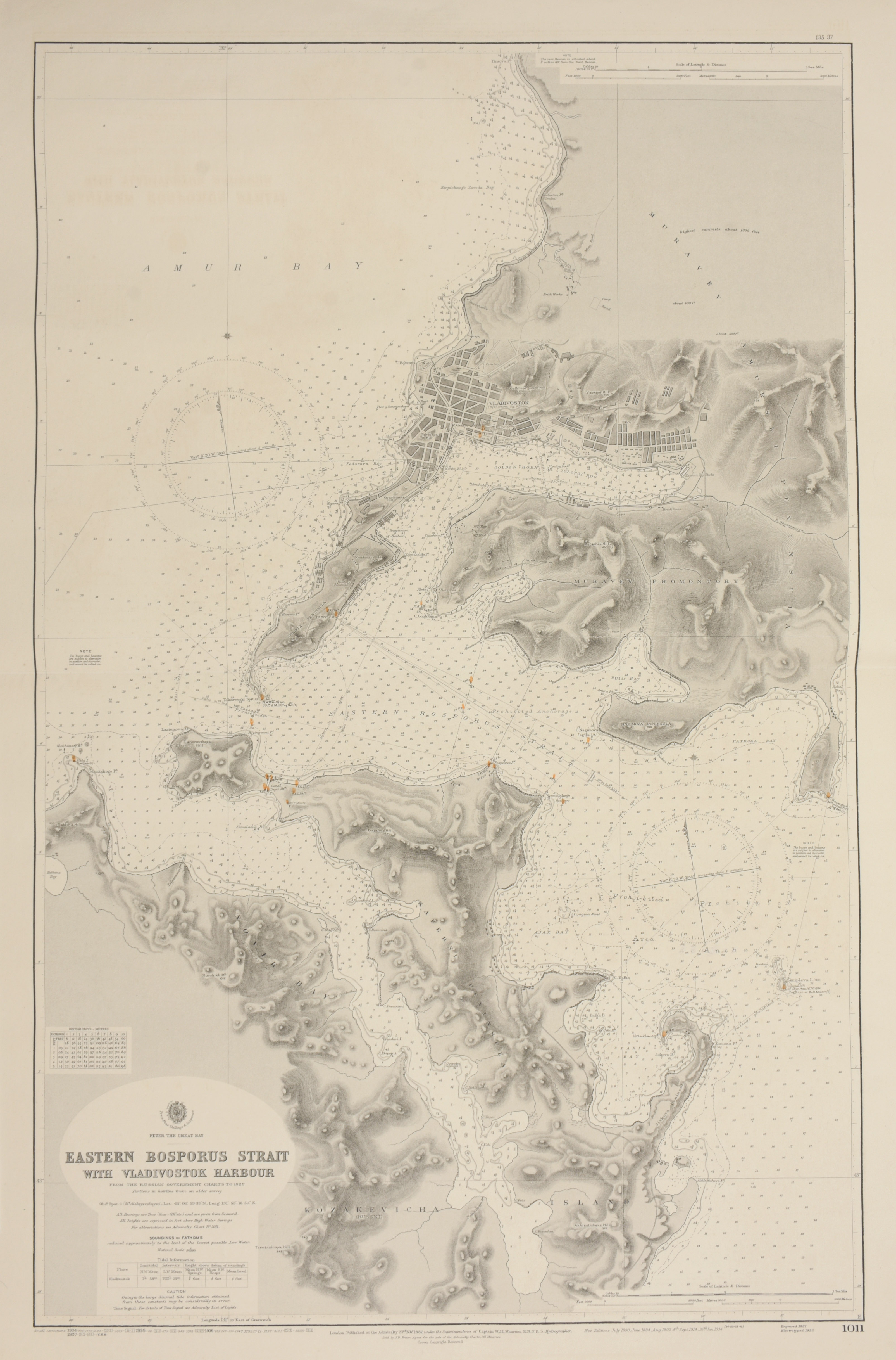
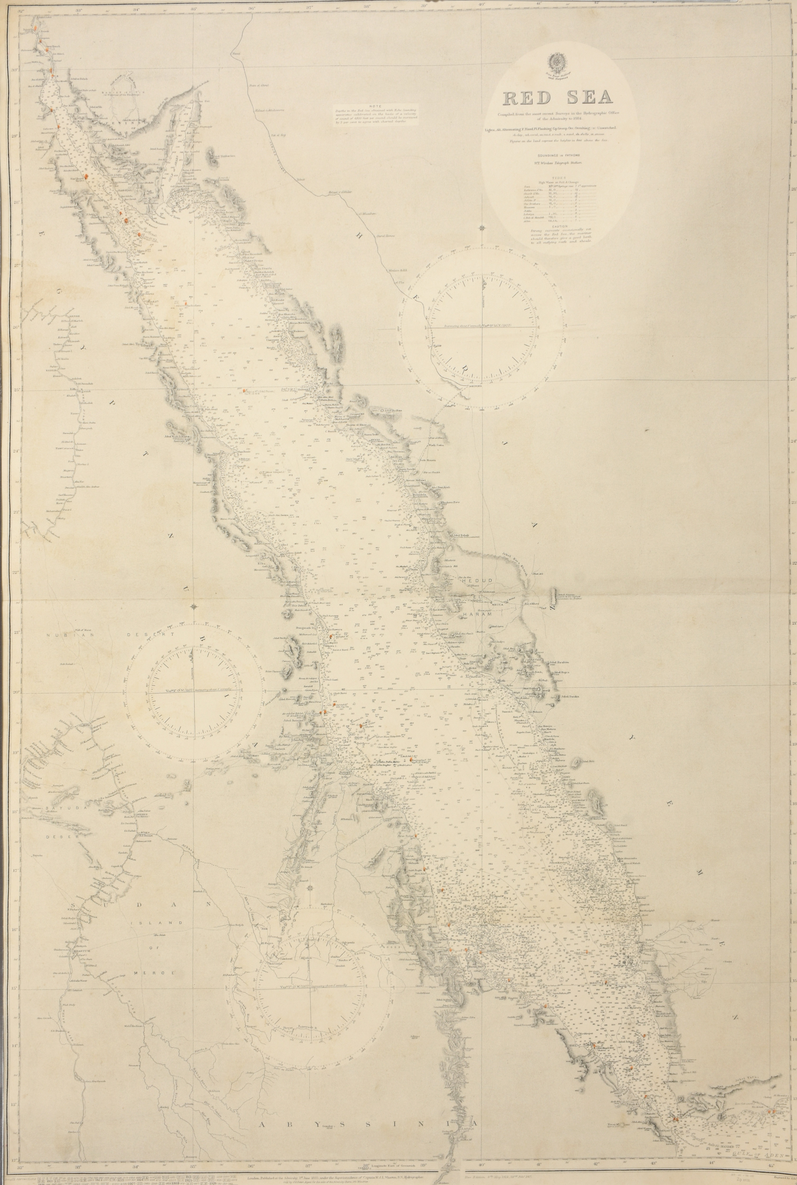
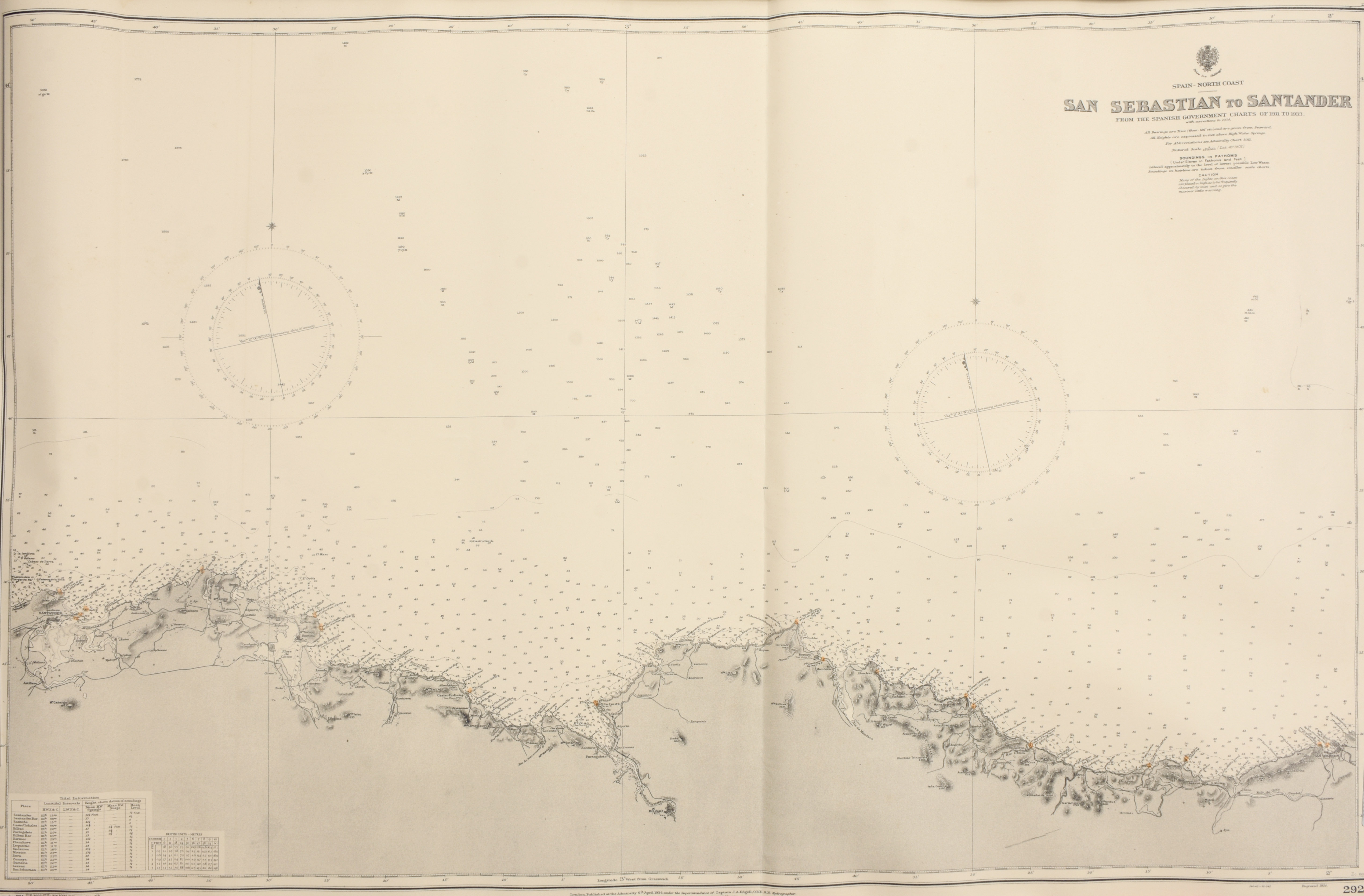
Lot of 8 nautical charts of Spain, Gibraltar, Bosporus, North Sea and Red Sea
London
British Admiralty
1937
€120 - €180

Engraved coastal charts, 102,5 x 70 cm each: The North Sea, Southern Chart (number 2182 A below right) + West Coast of Spain and Portugal, Cape Finistere to Cape St. Vincent. (number 87 below right) + Bay of Biscay (number 1104 below right) + Spain - North Coast San Sebastian to Santander (number 2925 below right) + Cape St. Vincent to the Strait of Gibraltar (number 92 below right).
+ Strait of Gibraltar. (number 142 below right) + Red Sea (number 2523 below right) + Eastern Bosporus Strait with Vladivostok Harbour, from the Russian Government charts to 1929 (number 1011 below right)