BELANGRIJK: Accepteer cookies om te kunnen bieden!
Onze website heeft cookies nodig om het biedformulier te laten werken. Zonder cookies blijft je winkelmand leeg en kun je geen bod plaatsen. Klik op 'Accepteren' om te kunnen bieden en de website optimaal te lalten functioneren. Hiervoor vragen we je om akkoord te gaan met ons gebruik van cookies.

Ik ga akkoord met de cookies liever niet.
terug naar overzicht

SEA CHART - [RIO JANEIRO]

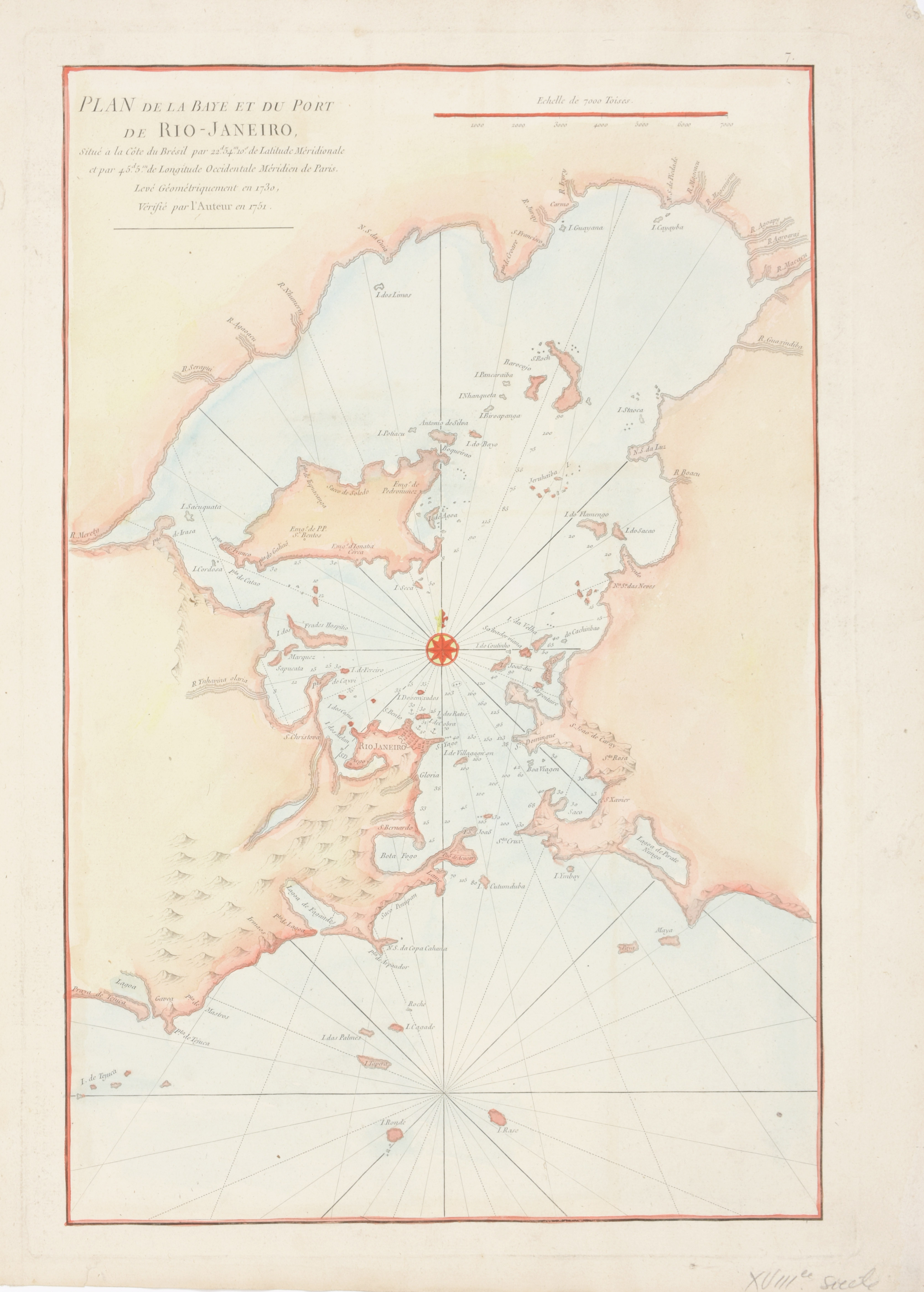
Plan de la Baye et du Port de Rio-Janeiro
€140 - €180

Cont. handcol. map (51.5 x 35 cm), after de Mannevillette, Jean (Paris, c. 1775) in Le Neptune Oriental

This important, early chart of the harbor shows Rio Janeiro in block plan form. All islands and coastal features with many soundings and anchorages are depicted. Across from Rio at the mouth of the Guanabara Bay is a lake named Lagoa de Pirate Ningo. Fine compass rose with fleur-de-lys and rhumb lines embellish this copper-engraved chart. Shirley (BL Atlases) M.APR-1c