IMPORTANT: Accept cookies to place a bid!
Our website requires cookies for the bidding form to work. Without cookies, your cart will remain empty, and you won’t be able to place a bid. Click ‘Accept’ to enable bidding and ensure the website functions optimally. We ask for your consent to use cookies.

I agree to the use of cookies. I don't agree to the use of cookies..
back to overview

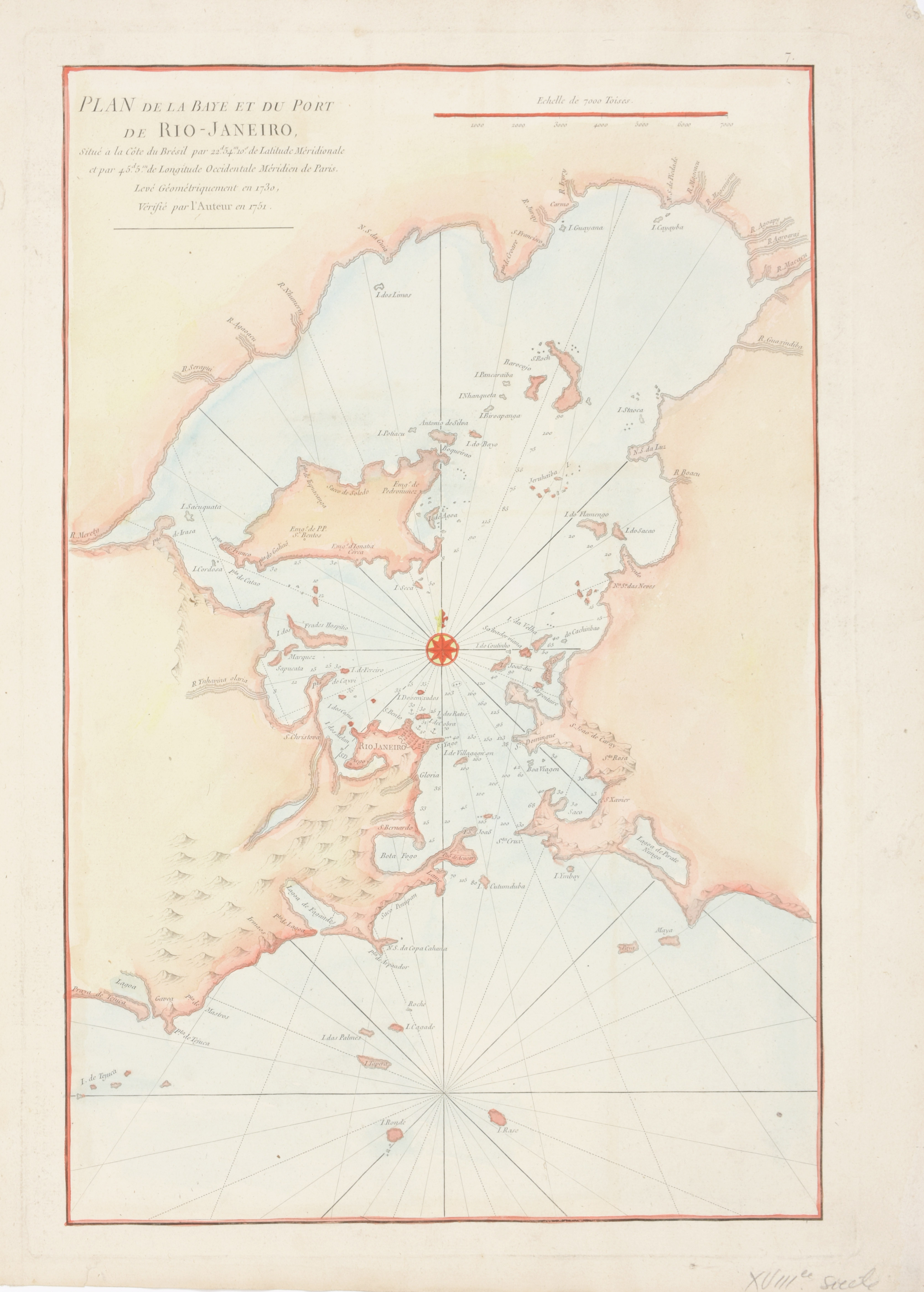
SEA CHART - [RIO JANEIRO]

Plan de la Baye et du Port de Rio-Janeiro
€140 - €180

Cont. handcol. map (51.5 x 35 cm), after de Mannevillette, Jean (Paris, c. 1775) in Le Neptune Oriental

This important, early chart of the harbor shows Rio Janeiro in block plan form. All islands and coastal features with many soundings and anchorages are depicted. Across from Rio at the mouth of the Guanabara Bay is a lake named Lagoa de Pirate Ningo. Fine compass rose with fleur-de-lys and rhumb lines embellish this copper-engraved chart. Shirley (BL Atlases) M.APR-1c