BELANGRIJK: Accepteer cookies om te kunnen bieden!
Onze website heeft cookies nodig om het biedformulier te laten werken. Zonder cookies blijft je winkelmand leeg en kun je geen bod plaatsen. Klik op 'Accepteren' om te kunnen bieden en de website optimaal te lalten functioneren. Hiervoor vragen we je om akkoord te gaan met ons gebruik van cookies.

Ik ga akkoord met de cookies liever niet.
terug naar overzicht

[ANTILLEN] - OTTENS, R.

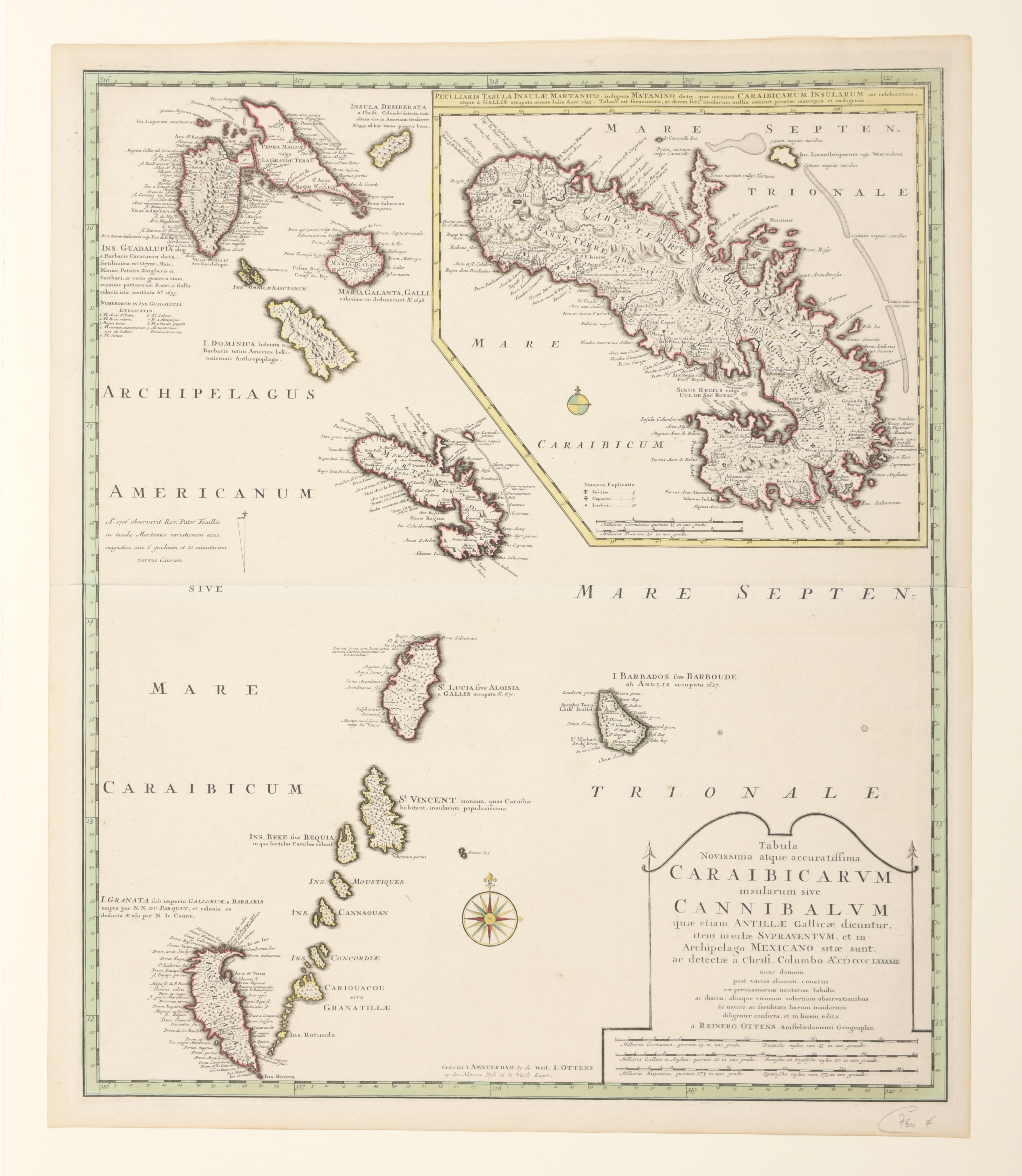
Tabula Novissima atque Accuratissima Caraibicarum Insularum sive Cannibalum quae etiam Antillae Gallicae Dicuntur Item Insulae Supraventum, et in Archipelago Mexicano
€120 - €180

Contemp. hand-col. map (60 x 50.5 cm), Amsterdam, Rainer Ottens, ca. 1728

This is a superb map of the Lesser Antilles covering the islands from Guadeloupe to Grenada. The map was based on Delisle's map of the region as evidenced by its depiction of Grenada up-side-down. A large inset map provides excellent detail of Martinique showing the island divided between the French colonial settlements and the Barbari Habitant