IMPORTANT: Accept cookies to place a bid!
Our website requires cookies for the bidding form to work. Without cookies, your cart will remain empty, and you won’t be able to place a bid. Click ‘Accept’ to enable bidding and ensure the website functions optimally. We ask for your consent to use cookies.

I agree to the use of cookies. I don't agree to the use of cookies..
back to overview

[ANTILLEN] - OTTENS, R.

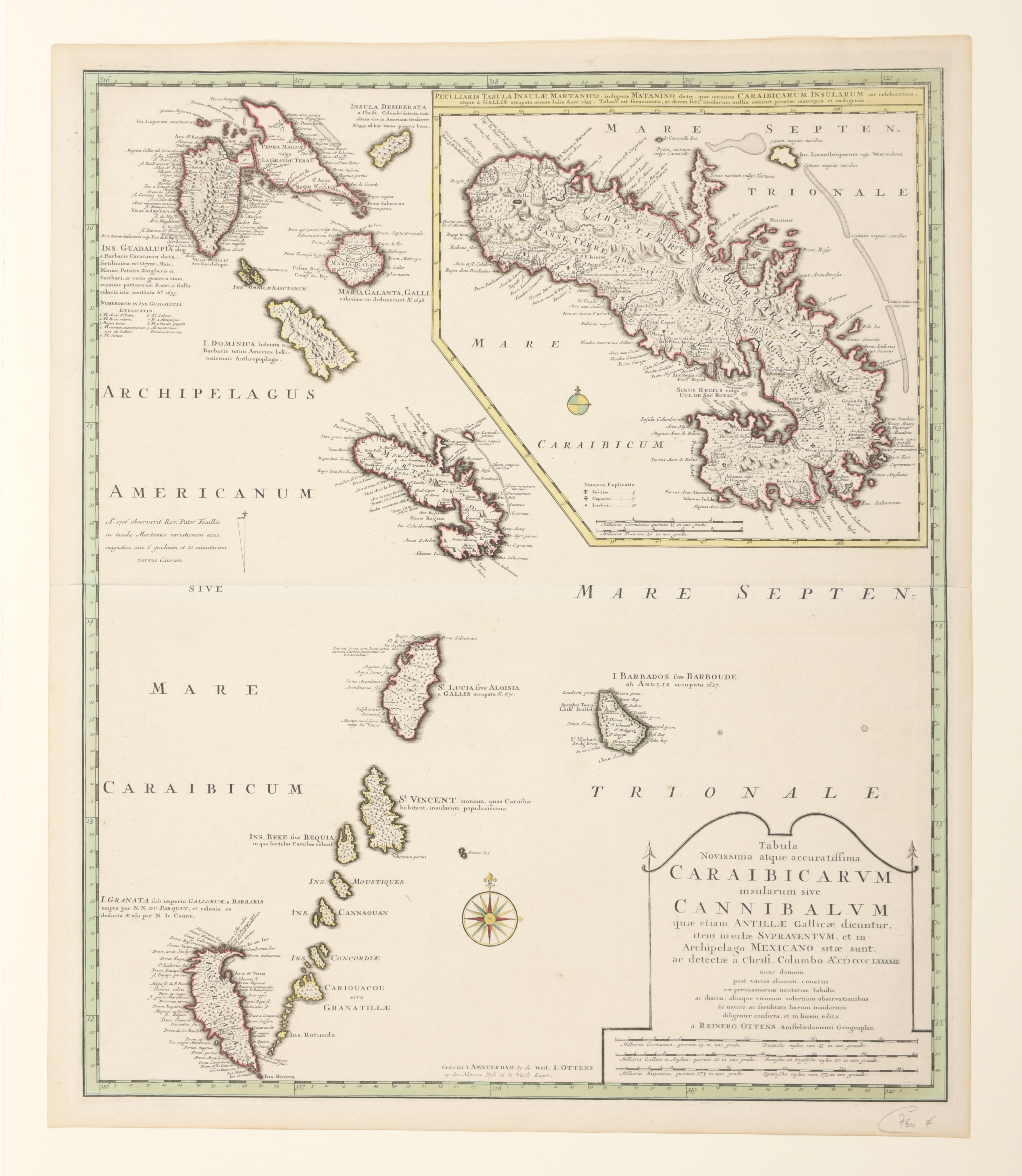
Tabula Novissima atque Accuratissima Caraibicarum Insularum sive Cannibalum quae etiam Antillae Gallicae Dicuntur Item Insulae Supraventum, et in Archipelago Mexicano
€120 - €180

Contemp. hand-col. map (60 x 50.5 cm), Amsterdam, Rainer Ottens, ca. 1728

This is a superb map of the Lesser Antilles covering the islands from Guadeloupe to Grenada. The map was based on Delisle's map of the region as evidenced by its depiction of Grenada up-side-down. A large inset map provides excellent detail of Martinique showing the island divided between the French colonial settlements and the Barbari Habitant