BELANGRIJK: Accepteer cookies om te kunnen bieden!
Onze website heeft cookies nodig om het biedformulier te laten werken. Zonder cookies blijft je winkelmand leeg en kun je geen bod plaatsen. Klik op 'Accepteren' om te kunnen bieden en de website optimaal te lalten functioneren. Hiervoor vragen we je om akkoord te gaan met ons gebruik van cookies.

Ik ga akkoord met de cookies liever niet.
terug naar overzicht

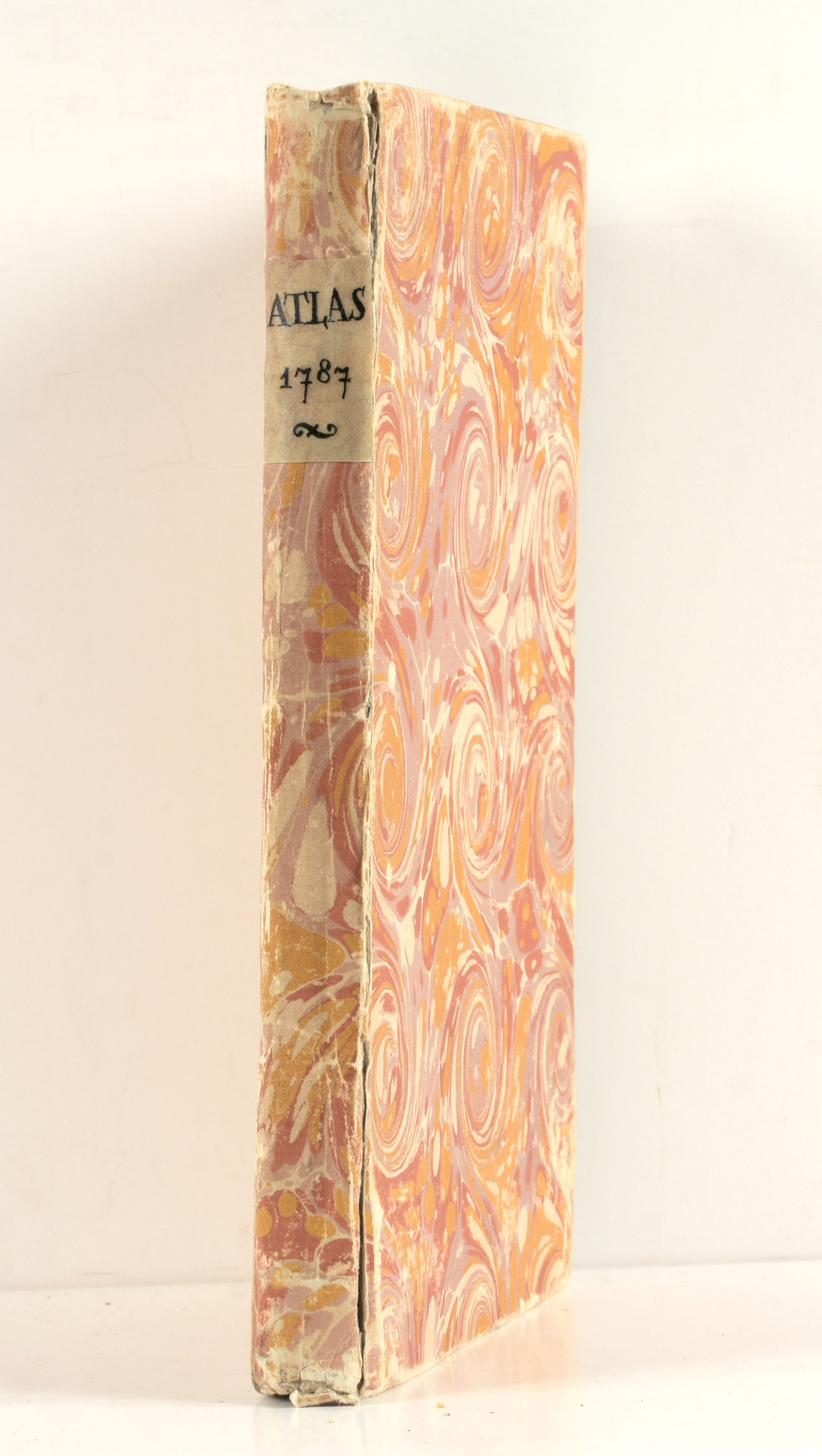
[ATLAS BRION]

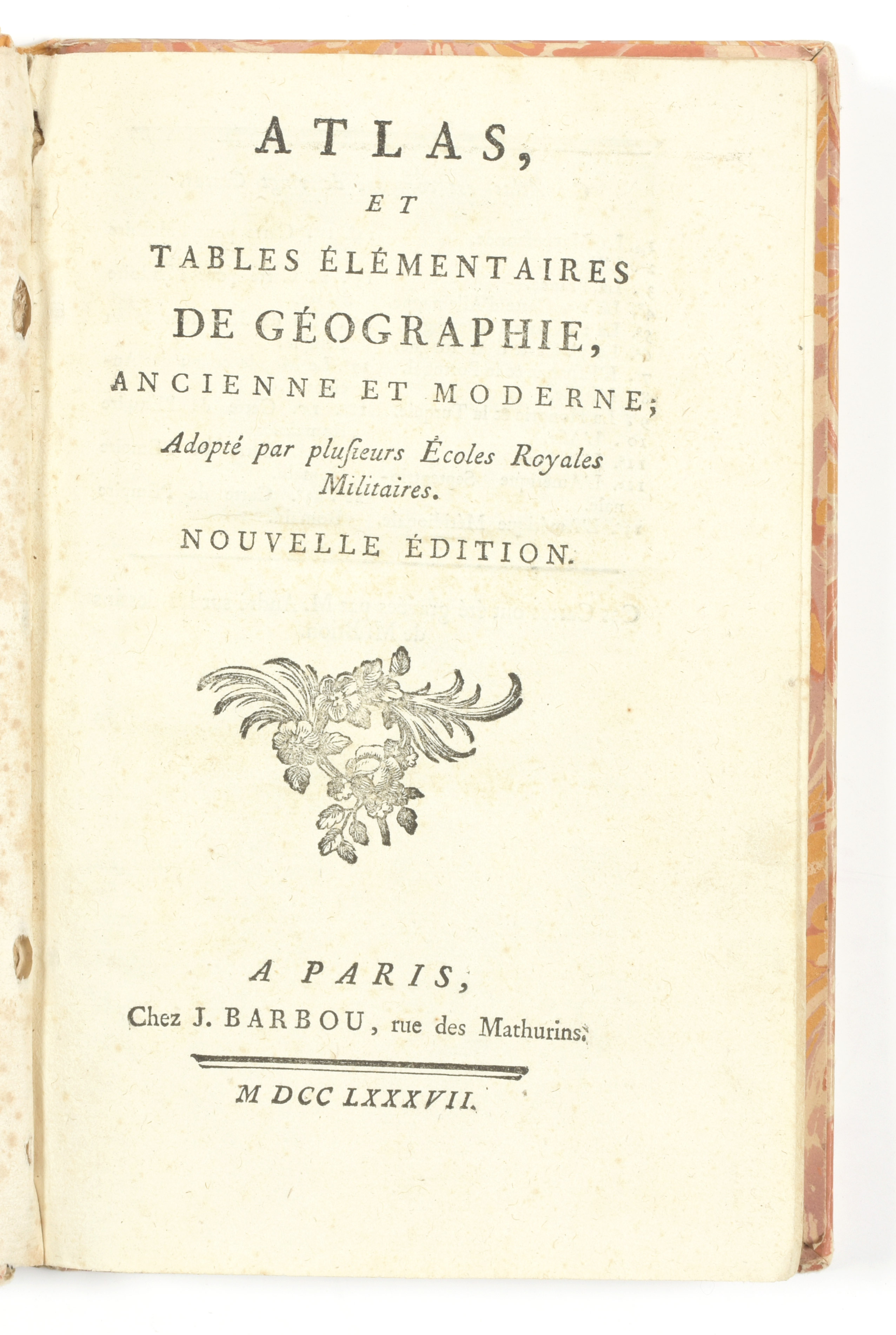
"Atlas, et tables élémentaires de géographie, ancienne et moderne; adopté par plusieurs Ecoles Royales Militaires. Nouvelle édition"
Paris
J. Barbou
1787
€160 - €240

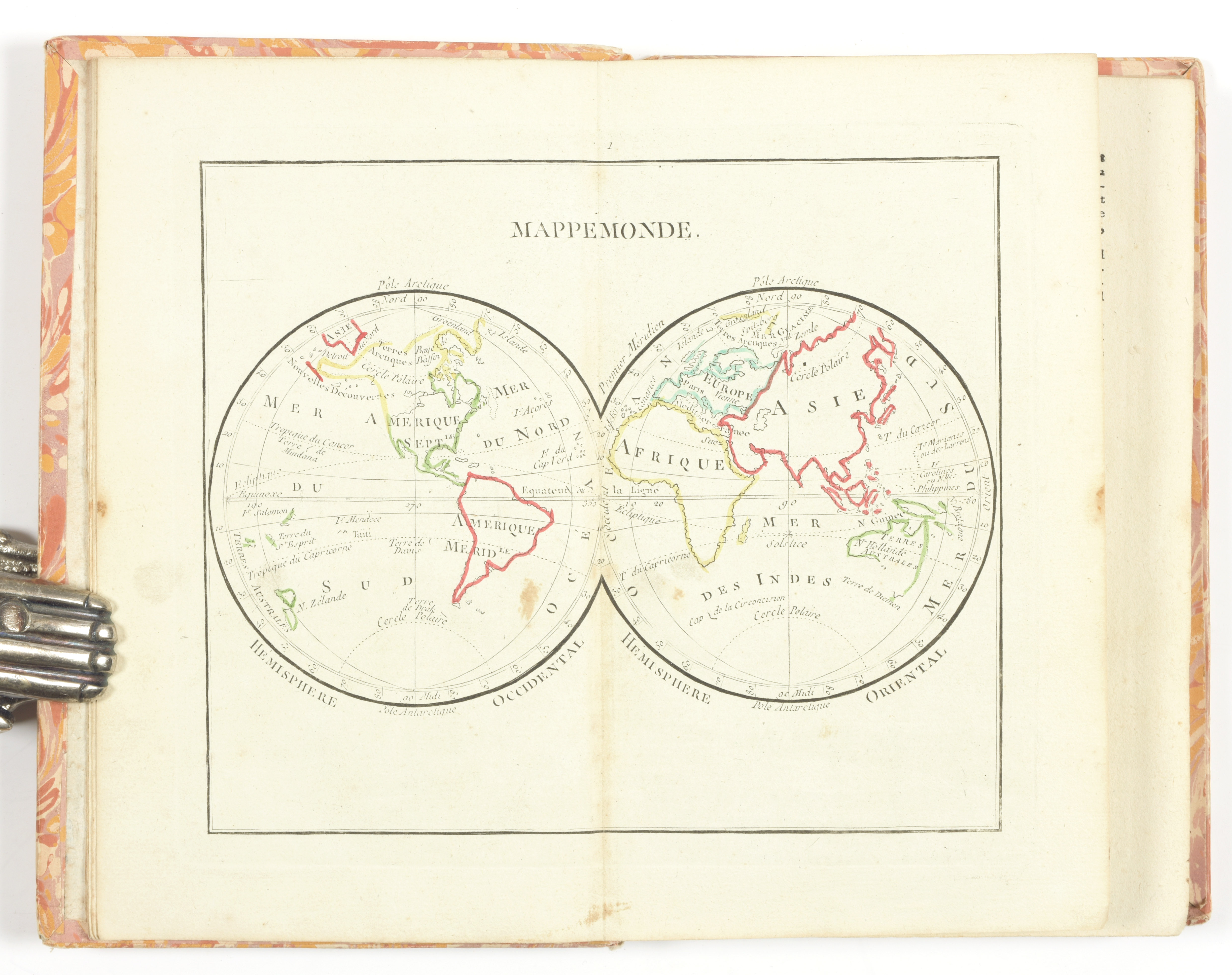
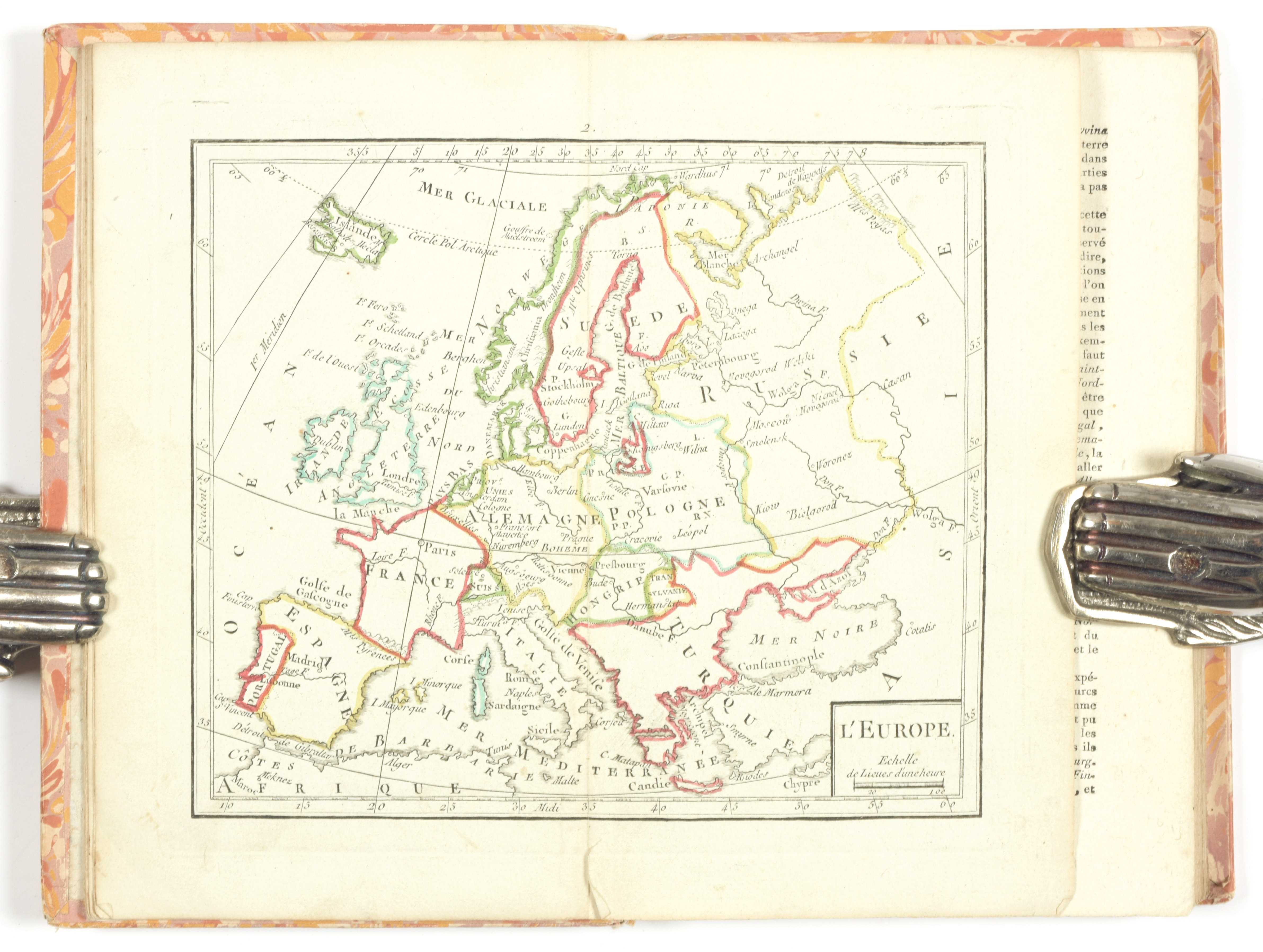
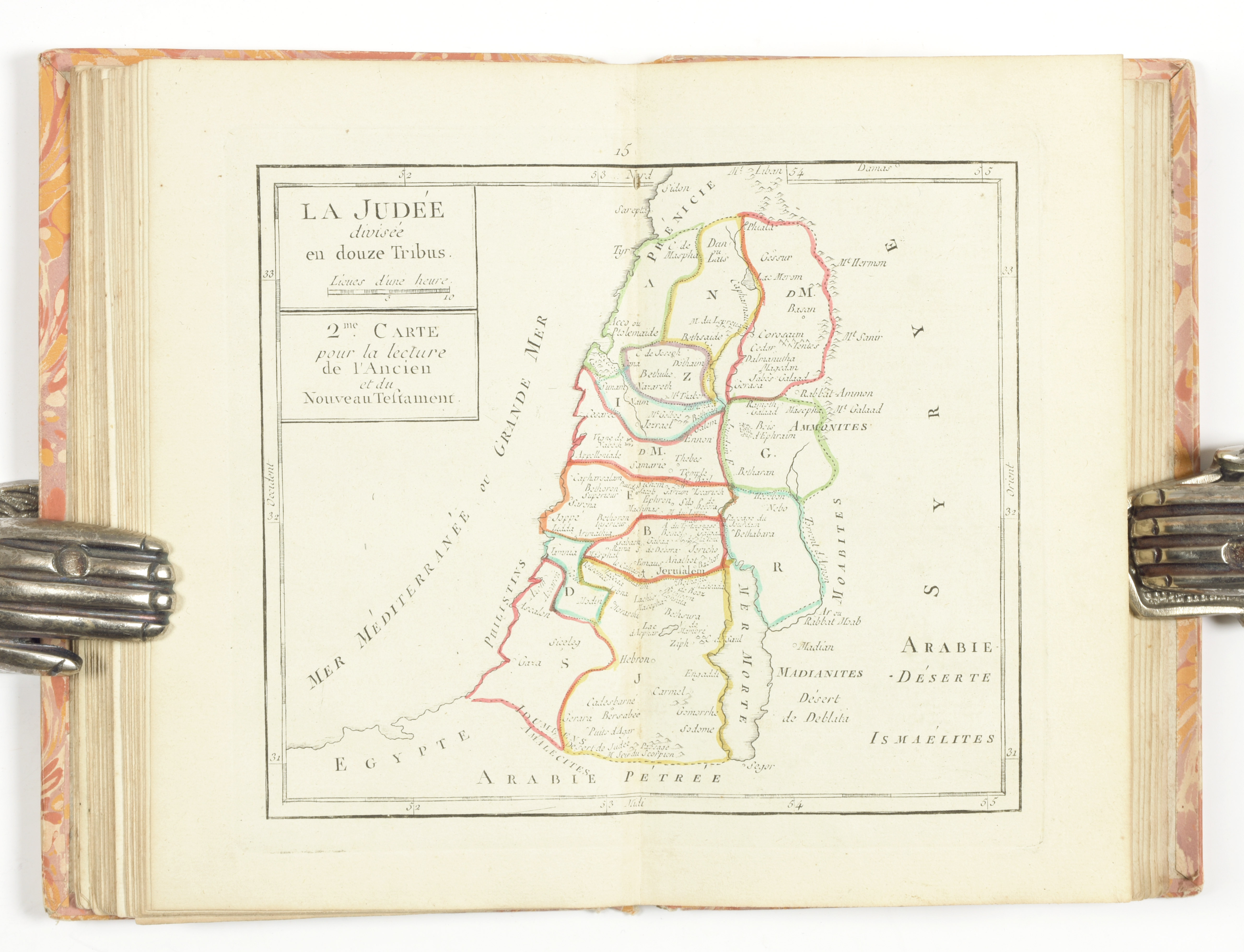
8vo, [6] pp.-98 col., 20 maps, part. coloured (sl. spotted). Cont. cardboard with marbled paper (sl. rubbed, joint broken). Complete with 20 hand-coloured numb. engr. maps by M. André after the drawings of Brion de la Tour showing a world map in 2 hemispheres, 5 continental maps, maps of France, Germany, Spain & Portugal, Italy, Hungary & Turkey, 2 biblical maps, a plan of Jerusalem, an antique map and 3 maps of the Roman empire. Each with information on the geography and topography

Later edition (1st ed.: 1774) of this military school atlas