IMPORTANT: Accept cookies to place a bid!
Our website requires cookies for the bidding form to work. Without cookies, your cart will remain empty, and you won’t be able to place a bid. Click ‘Accept’ to enable bidding and ensure the website functions optimally. We ask for your consent to use cookies.

I agree to the use of cookies. I don't agree to the use of cookies..
back to overview

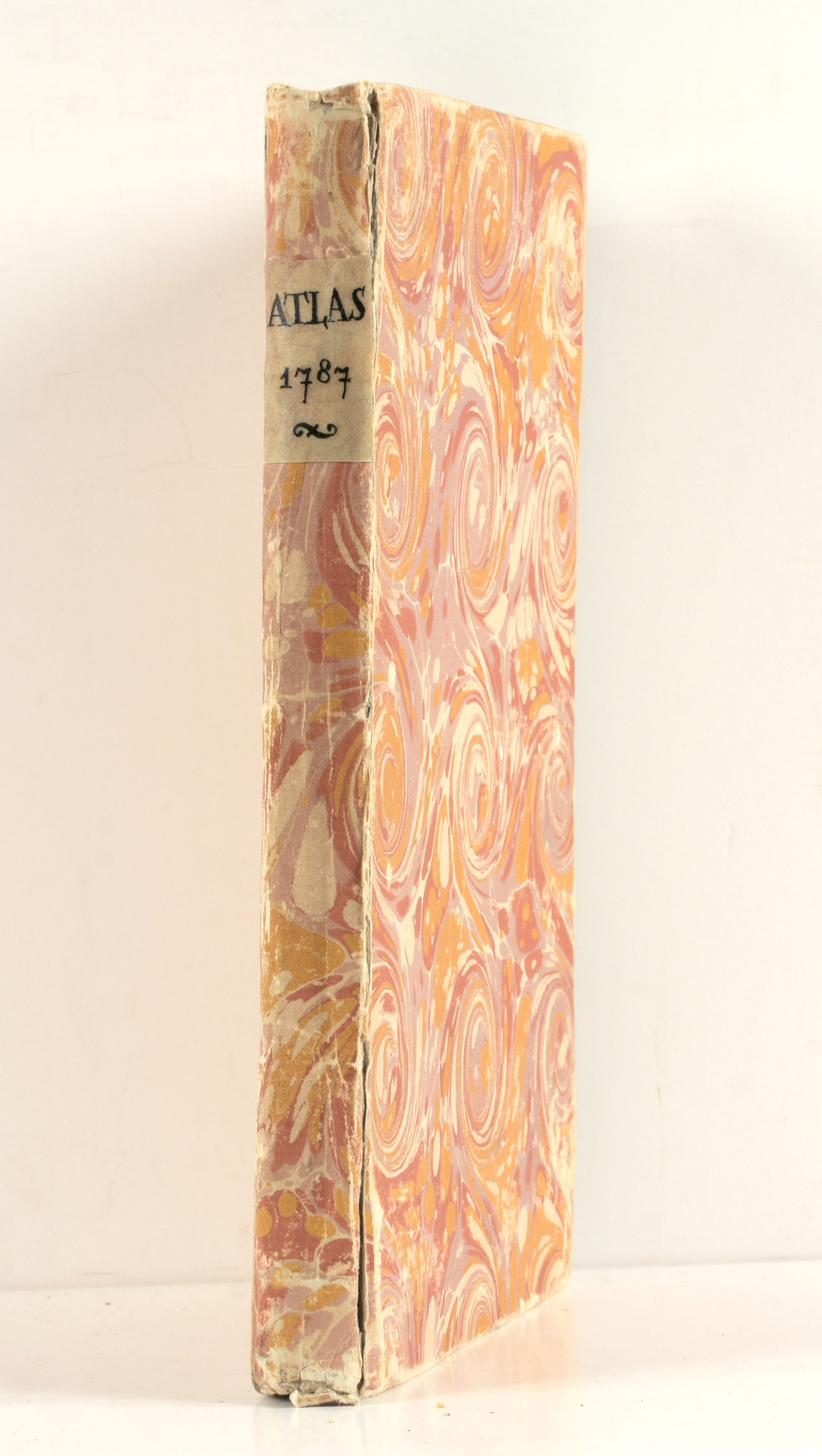
[ATLAS BRION]

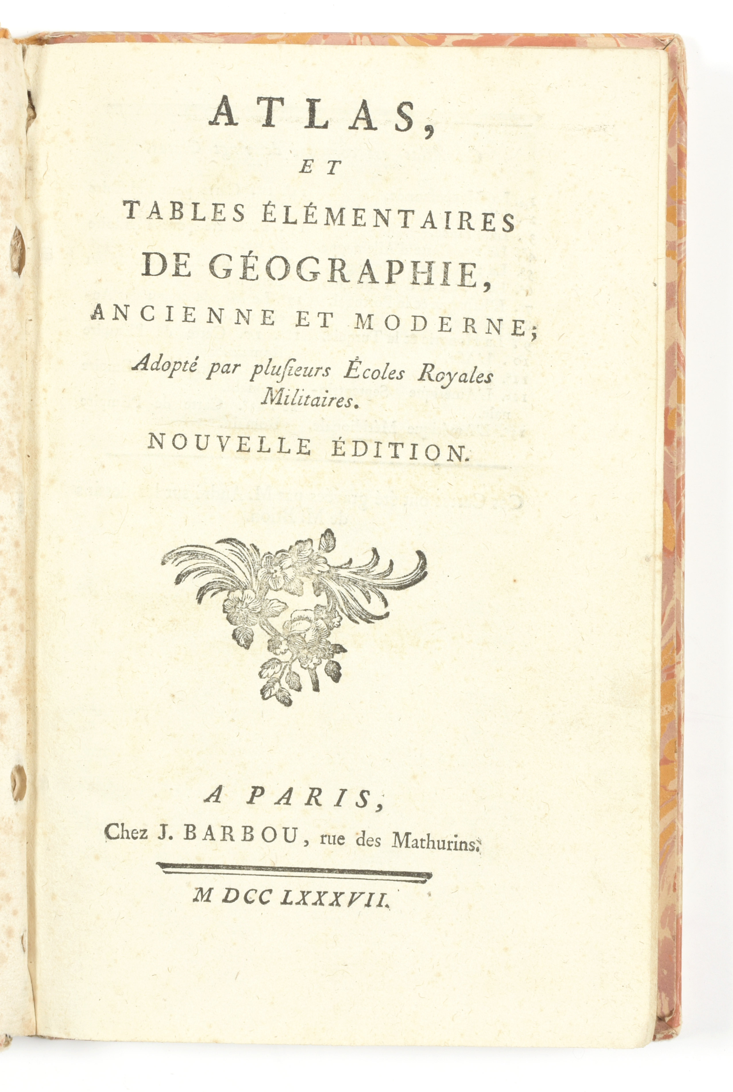
"Atlas, et tables élémentaires de géographie, ancienne et moderne; adopté par plusieurs Ecoles Royales Militaires. Nouvelle édition"
Paris
J. Barbou
1787
€160 - €240

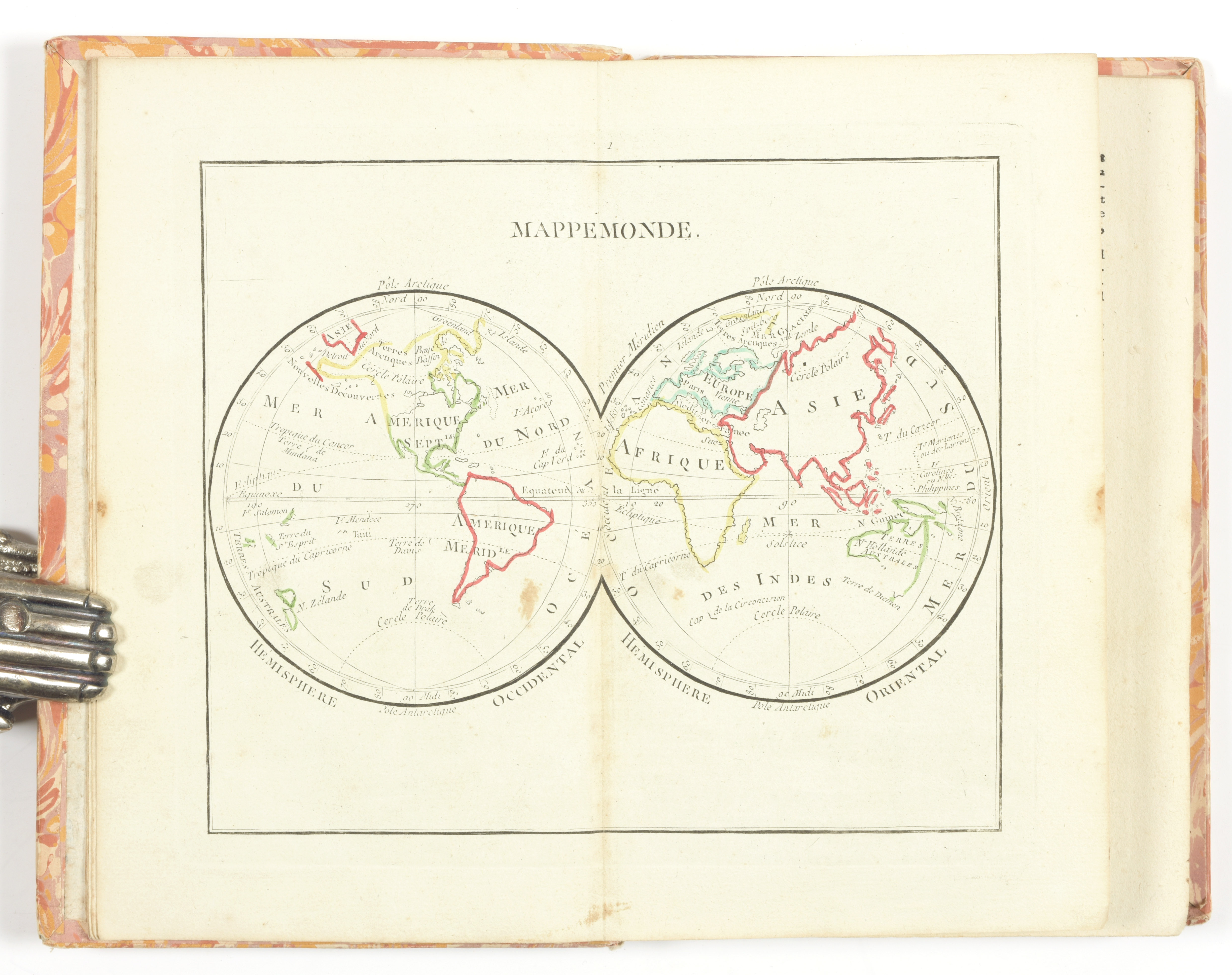
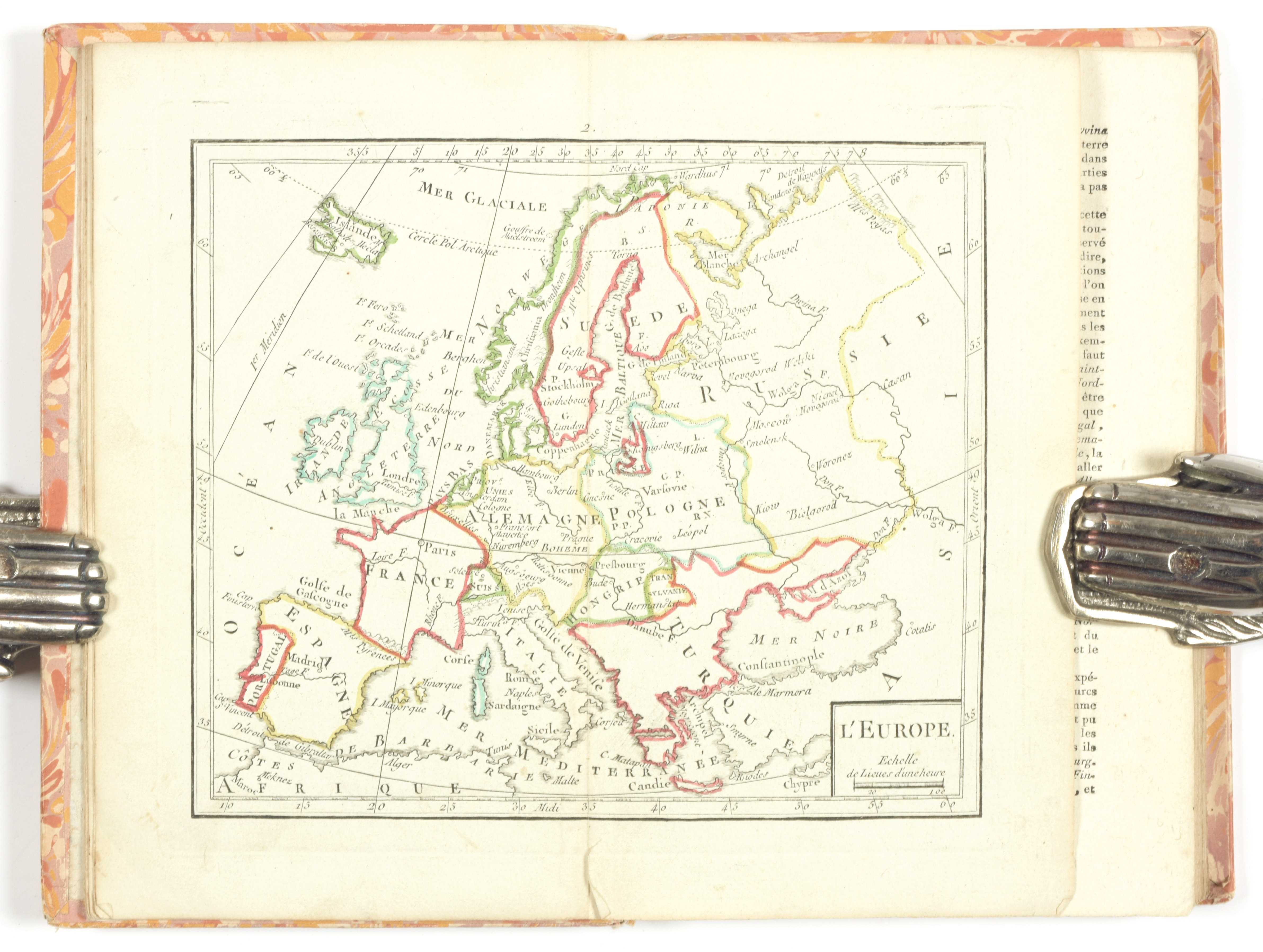
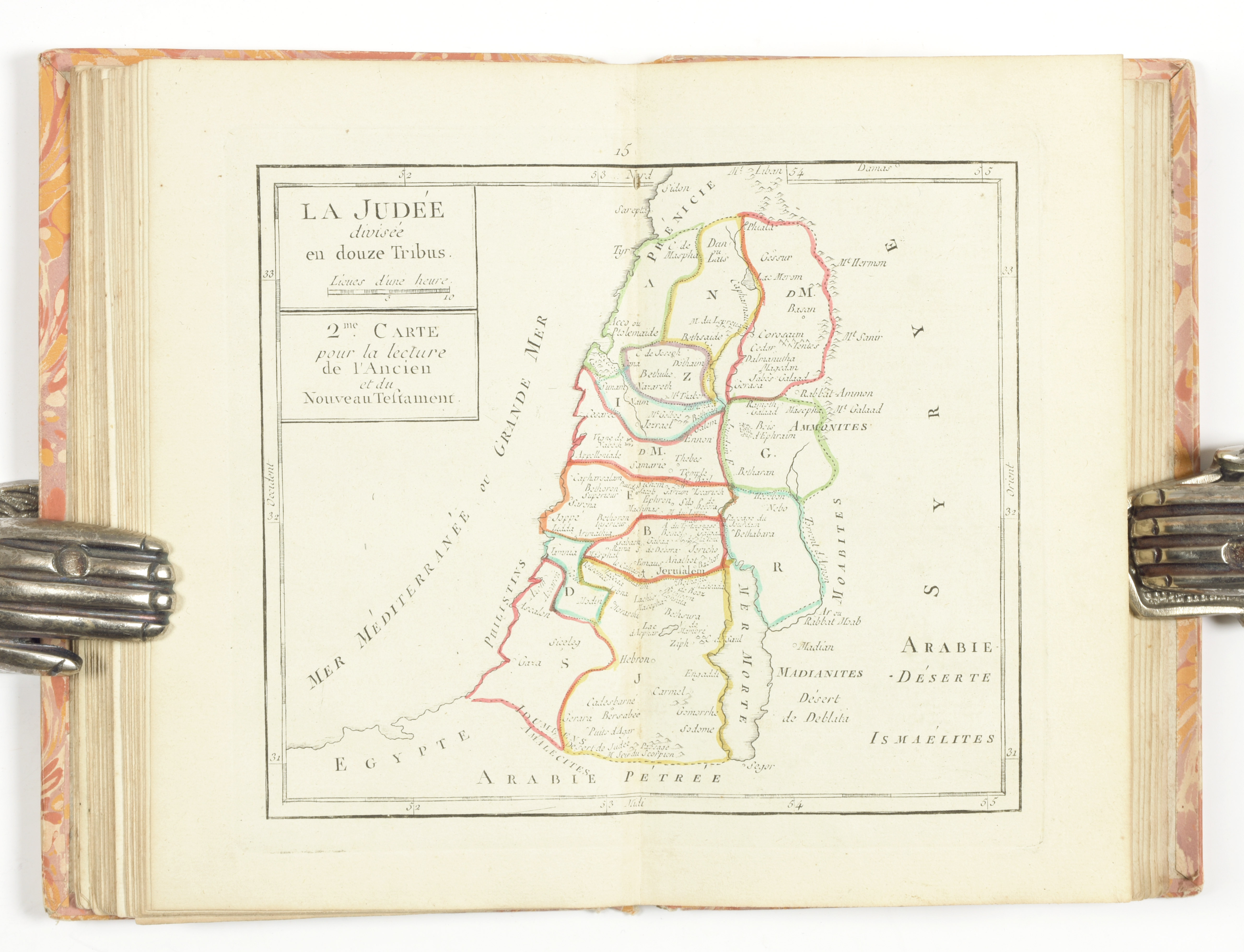
8vo, [6] pp.-98 col., 20 maps, part. coloured (sl. spotted). Cont. cardboard with marbled paper (sl. rubbed, joint broken). Complete with 20 hand-coloured numb. engr. maps by M. André after the drawings of Brion de la Tour showing a world map in 2 hemispheres, 5 continental maps, maps of France, Germany, Spain & Portugal, Italy, Hungary & Turkey, 2 biblical maps, a plan of Jerusalem, an antique map and 3 maps of the Roman empire. Each with information on the geography and topography

Later edition (1st ed.: 1774) of this military school atlas