IMPORTANT: Accept cookies to place a bid!
Our website requires cookies for the bidding form to work. Without cookies, your cart will remain empty, and you won’t be able to place a bid. Click ‘Accept’ to enable bidding and ensure the website functions optimally. We ask for your consent to use cookies.

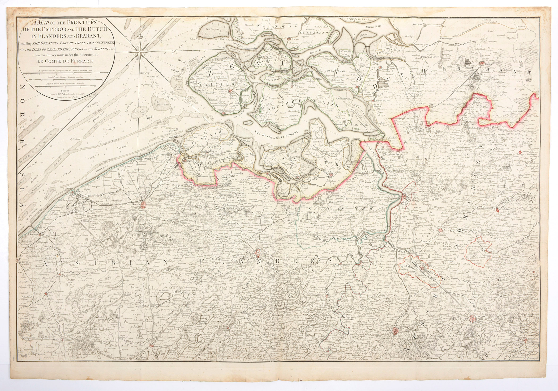
A map of the frontiers of the Emperor and the Dutch in Flanders and Brabant, including the greatest part of these two countries, with the Isles of Zealand, the mouths of the Scheldt from the survey made under the direction of le Comte de Ferraris